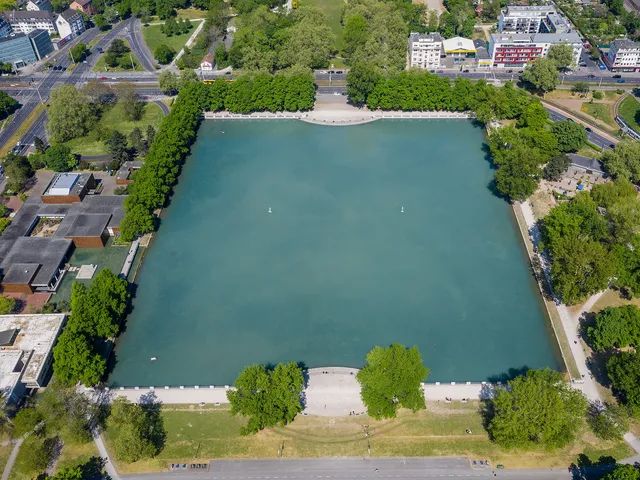
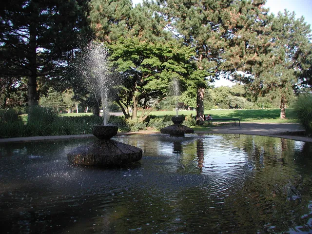
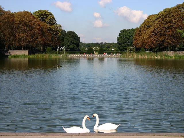
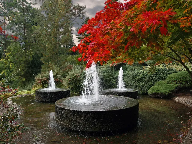
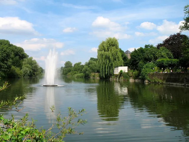
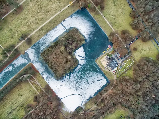
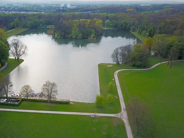
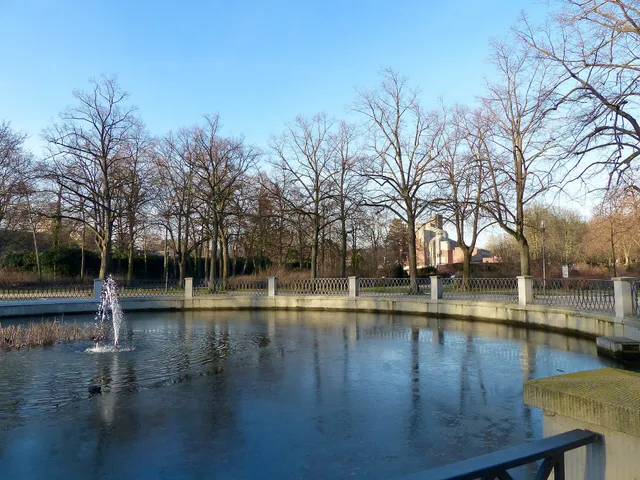
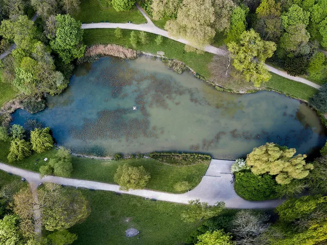
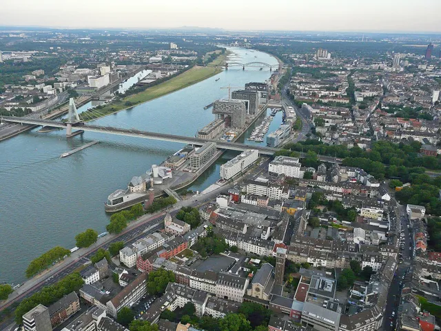
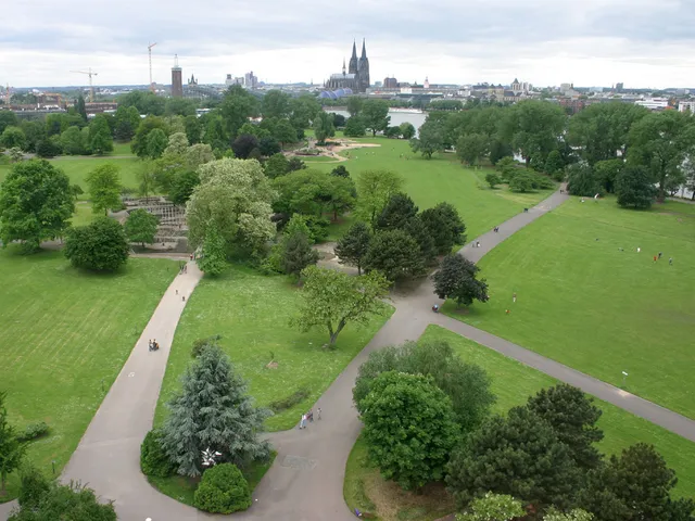
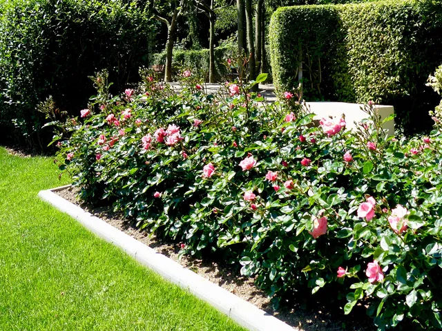
A kidney-shaped fountain pond in the Rheinpark, created in 1957 for the Federal Garden Show – named after rose breeder Konrad Adenauer, with crown fountains and water jets.
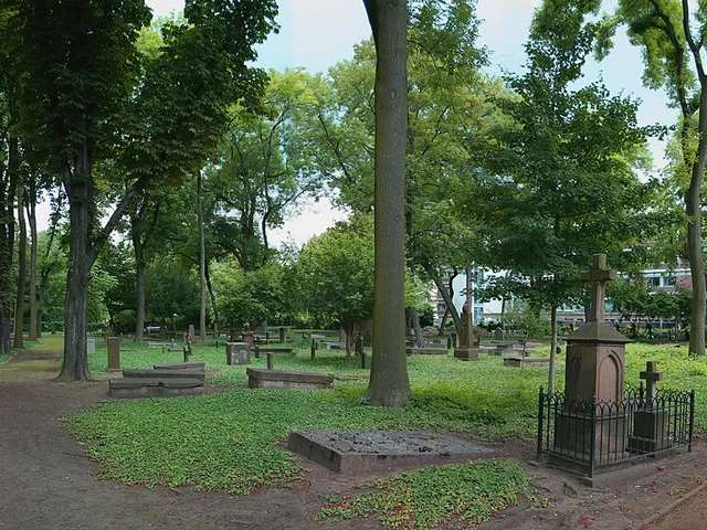
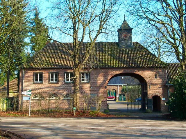
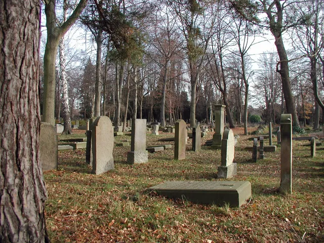
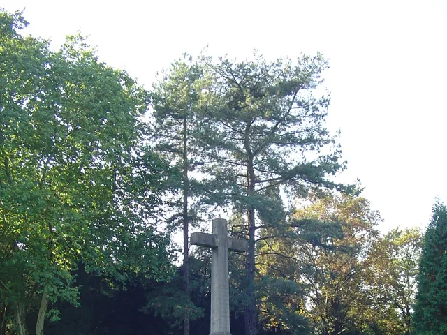
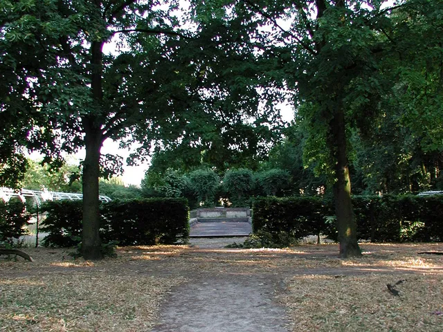
A former municipal cemetery turned listed park in Deutz, home to a sandstone crucifixion group from 1849 and a rare Reform-style enclosure from 1913/14.
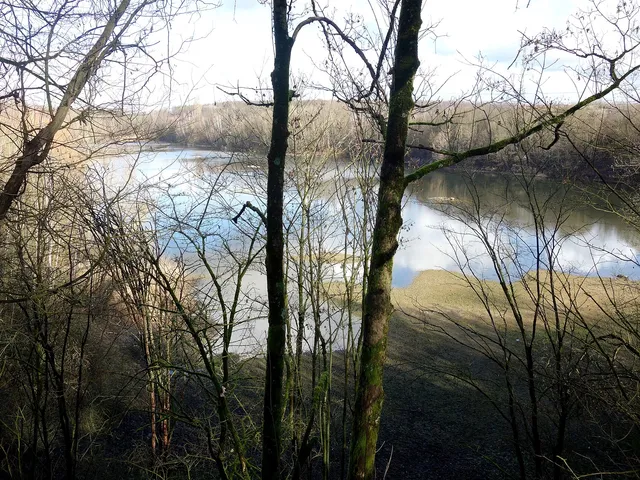
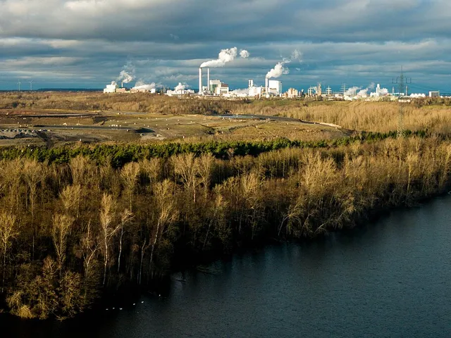
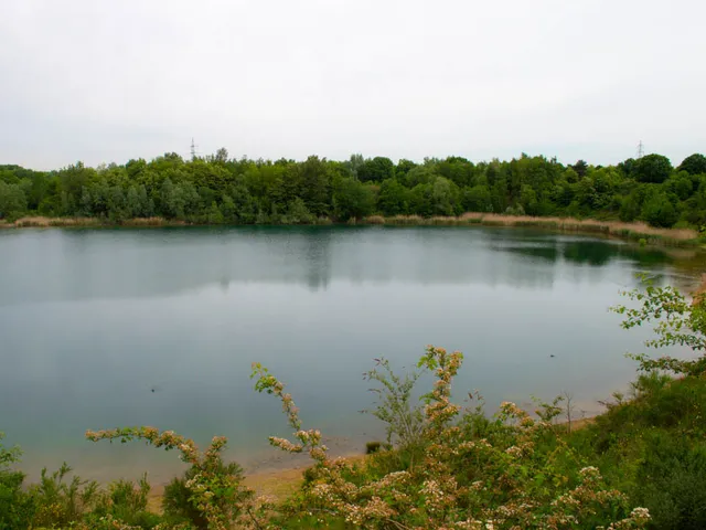
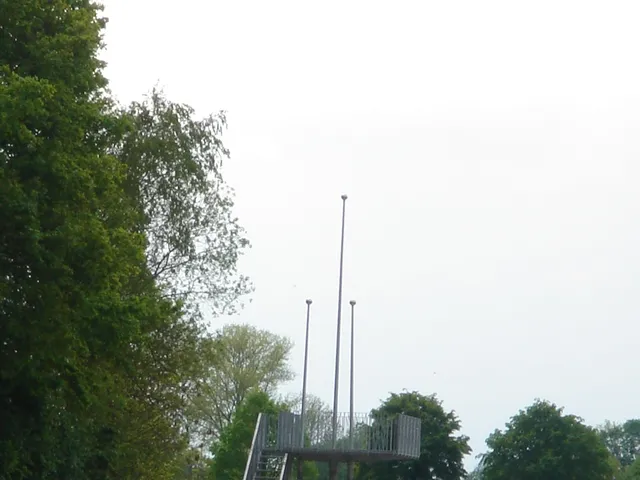
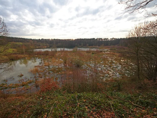
A roughly 21-hectare nature reserve set in a former gravel pit between Weidenpesch, Longerich and Mauenheim — off-limits to protect its wildlife and viewable only from a single lookout point.
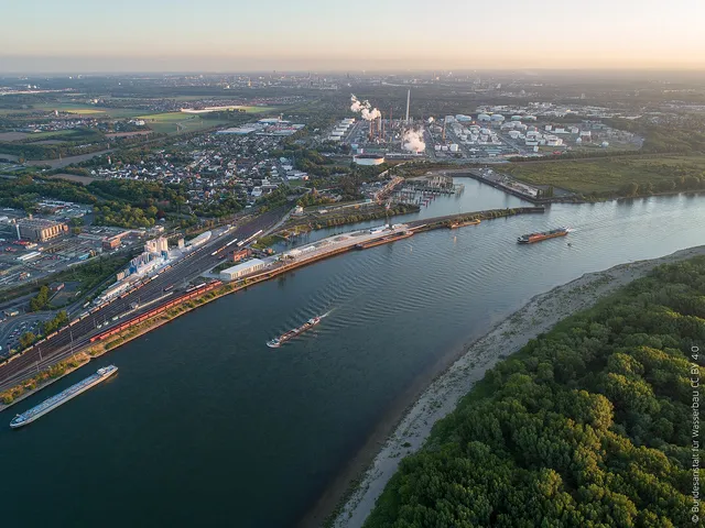
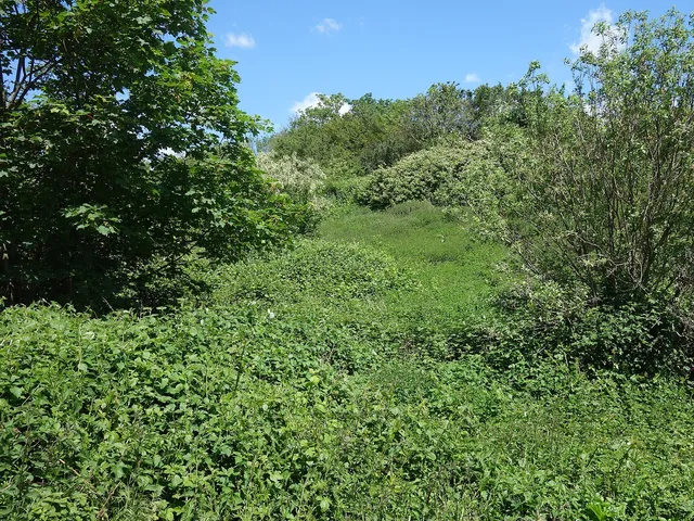
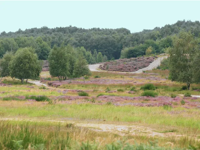
A 23-hectare nature reserve beside the Godorf harbour in southern Cologne — a grassland-and-scrub mosaic that grew out of an old gravel deposit and now shelters rare animals and plants.
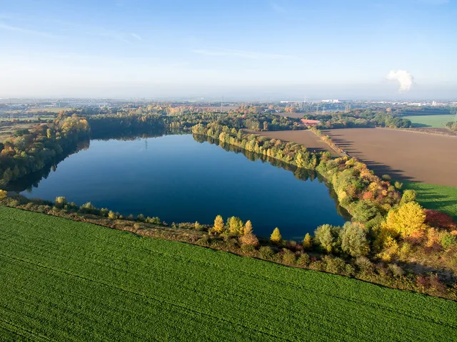
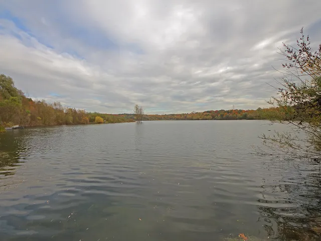
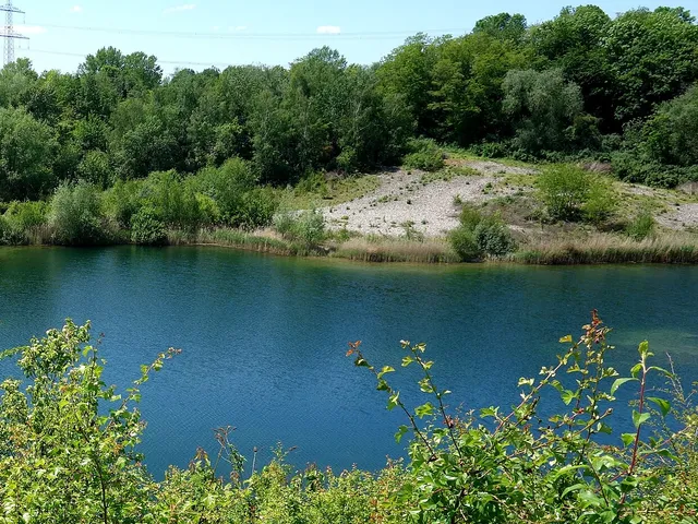
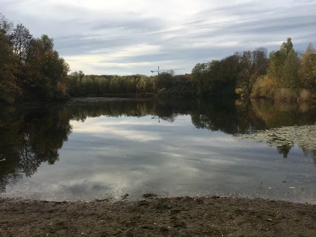
A restored former gravel pit on Cologne's northern edge in Flittard, protected as a nature reserve since 1991 — a species-rich habitat of open water, sandy dry grassland and rare plants and animals.
Baadenberger Senke, Stöckheimer See and Große Laache
since 2007
★★★★★★★★★★4.4(341)· Google
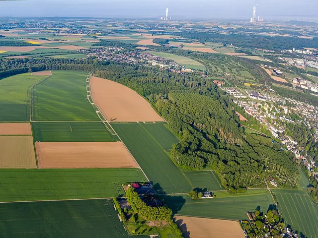
A sprawling nature reserve of former gravel pits in Cologne's north-west – now a landscape of lakes, woodland and one of the most important amphibian spawning grounds west of the Rhine.
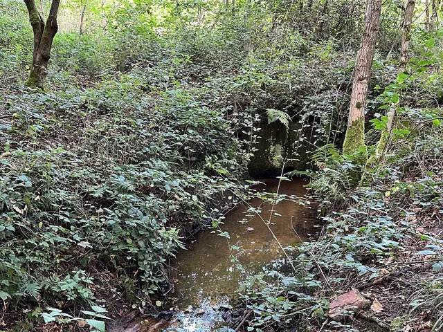
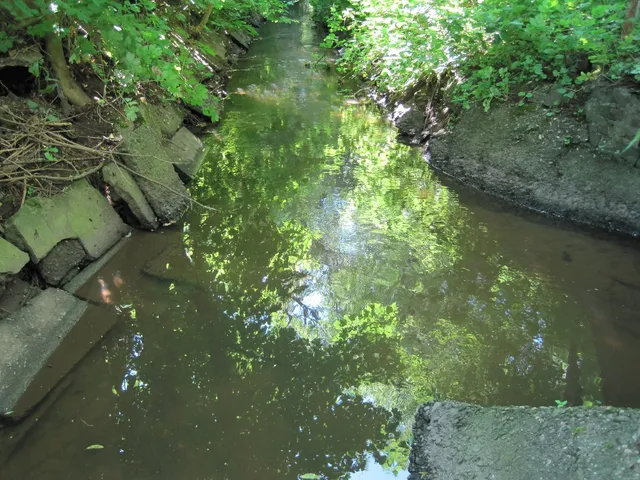
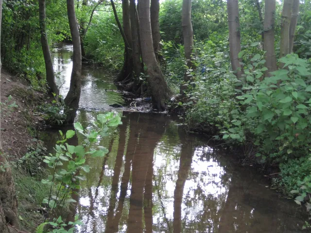
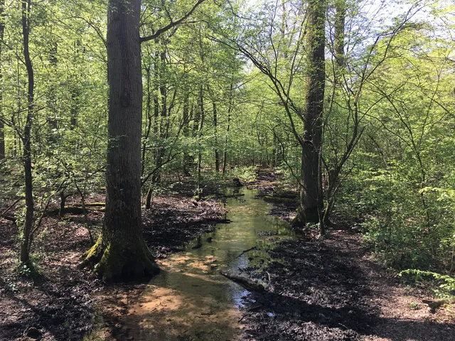
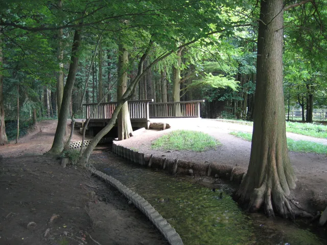
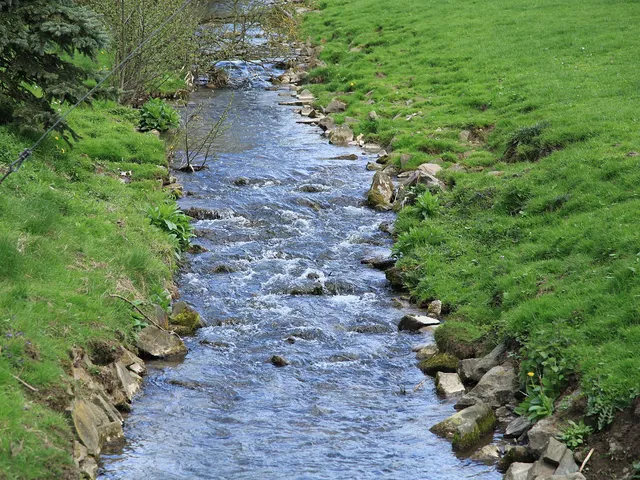
A roughly 5.8 km sandy stream that rises in the Wahner Heide and seeps away in the Grengel Bieselwald – part of a protected landscape area in southern Cologne.
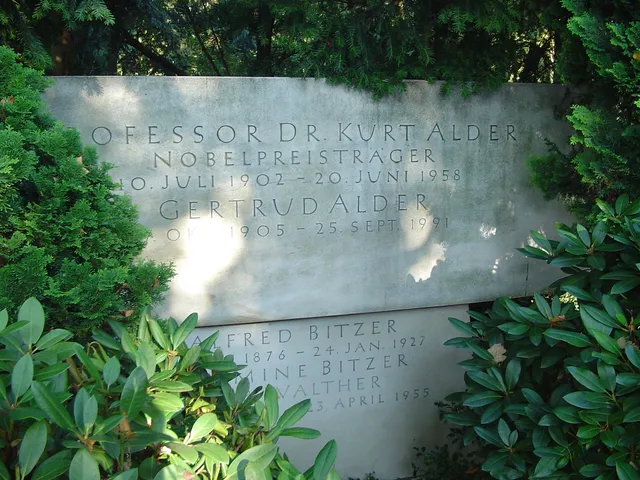
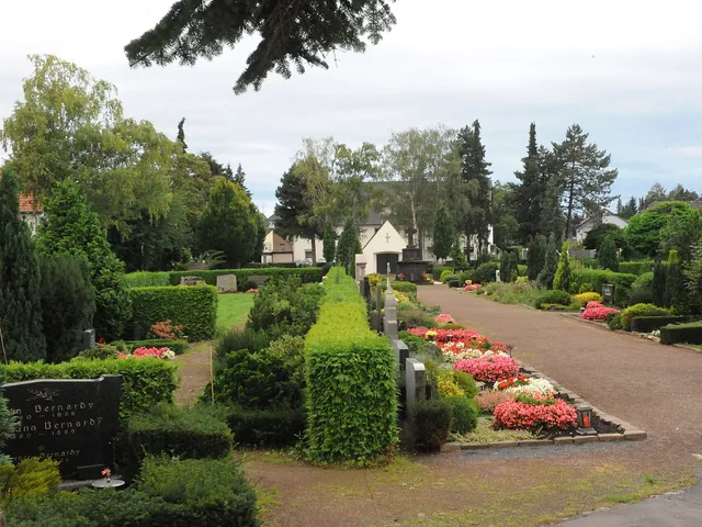
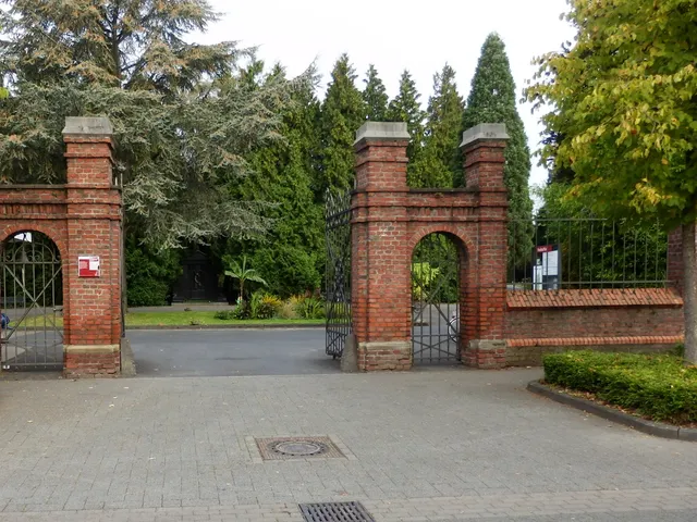
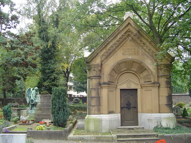
A park-like municipal cemetery in Cologne's Poll district, laid out in 1896 to serve the neighbouring Deutz and the final resting place of Nobel laureate Kurt Alder.
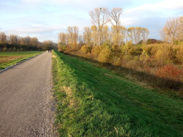
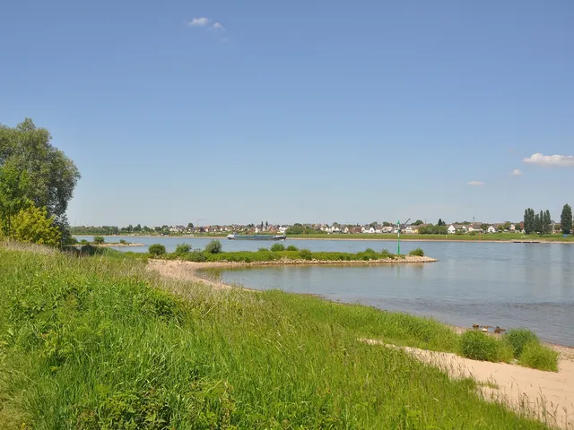
A four-kilometre stretch of protected Rhine floodplain on Cologne's northern edge, rich in birdlife and criss-crossed by paths for walkers and cyclists.
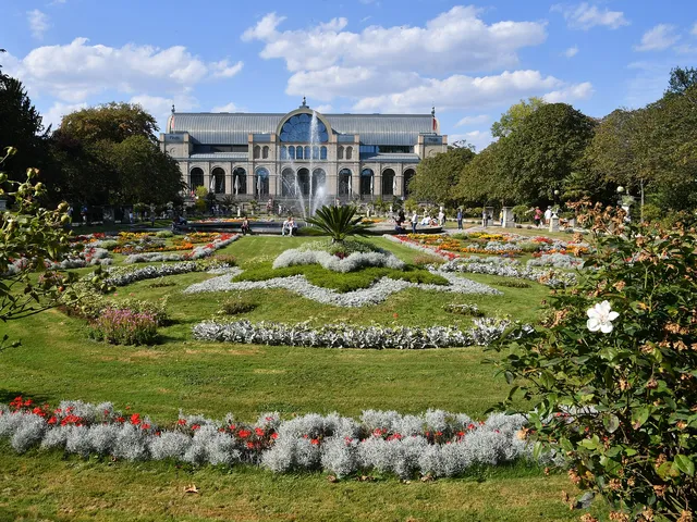
Cologne's botanical garden centred on the 1864 glass festival hall 'Flora' — a Lenné-designed park with over 10,000 plant species across more than 11 hectares.
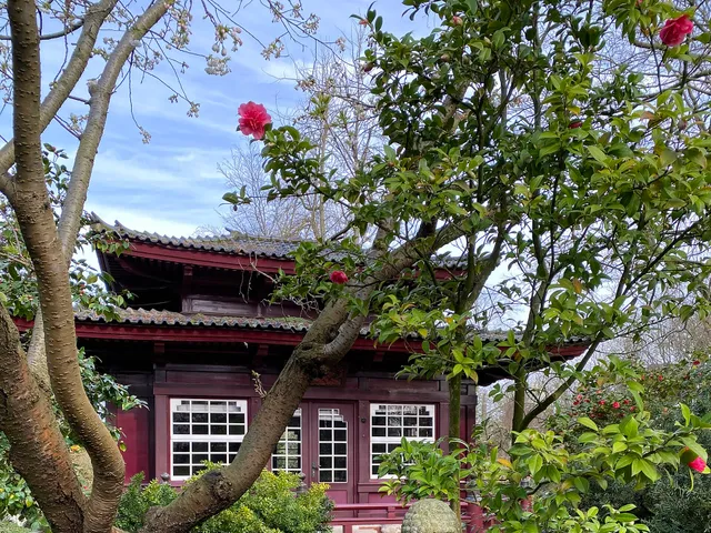
Botanical garden in Cologne's south showcasing trees and shrubs from around the world — from a rhododendron ravine and Japanese garden to North American giant sequoias.
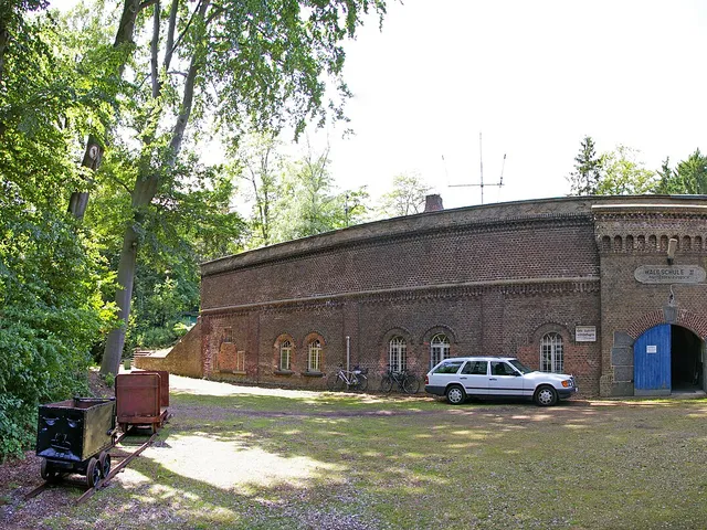
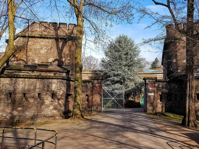
The best-preserved Prussian fort of Cologne's inner defensive ring — now a 'green fort' with a rose garden set within a generous parkland in Neustadt-Nord.
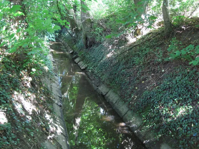
A small stream that begins at the Frechen sewage works and, after 4.6 km, seeps away in Cologne's green belt near the Militärring – restored on Cologne territory.
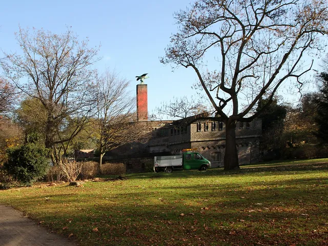
Cologne city park on the grounds of former Fort I — featuring ivy-covered fortress walls, a rose garden, and a WWI monument with an eagle cast from cannons.
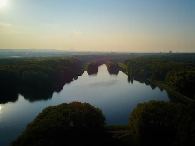
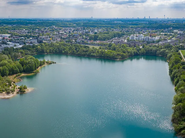
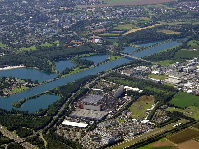
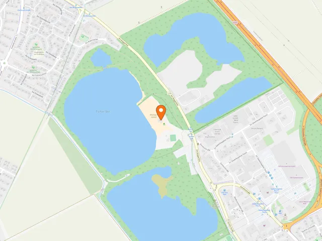
Former gravel pits turned into a 100-hectare lake in northern Cologne, home to a 2,300 m regatta course that hosted the 1998 Rowing World Championships.
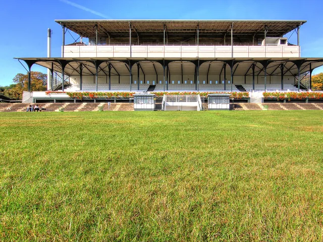
Cologne's oldest sports venue: a gallop racecourse open since 1898, hosting internationally significant races and a landmark-listed historic football stand.
A roughly 8.3 km stream that rises in the Königsforst and finally splits into two arms that seep away in ponds – with a water-treading station at a tri-city point.
Former Rhine island in Cologne-Zündorf, transformed between 1974 and 1978 into a leisure area with a marina, swimming facilities, and green spaces along the river.
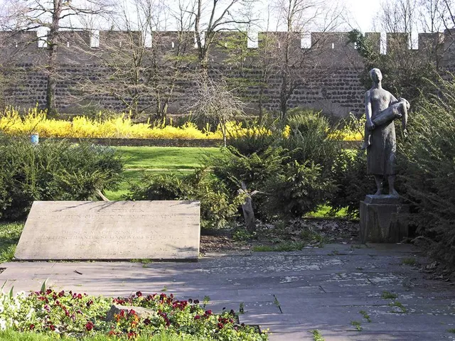
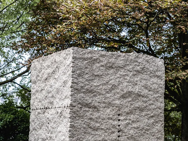
Memorial park in Cologne's Inner Green Belt commemorating the victims of the atomic bombings of Hiroshima and Nagasaki, with a monument featuring an origami crane.
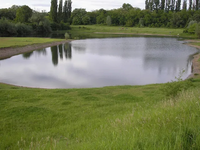
A 20-hectare gravel pit lake in Cologne's Dellbrücker Wald — swimming is banned year-round, the water is leased to anglers, and the surrounding woodland serves as recreational space.
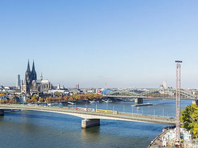
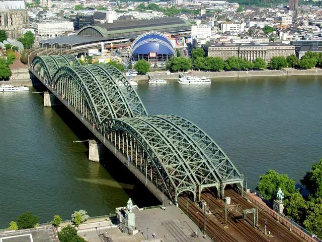
Germany's busiest railway bridge spanning the Rhine — a defining feature of Cologne's skyline alongside the Cathedral, and famous for thousands of love locks.
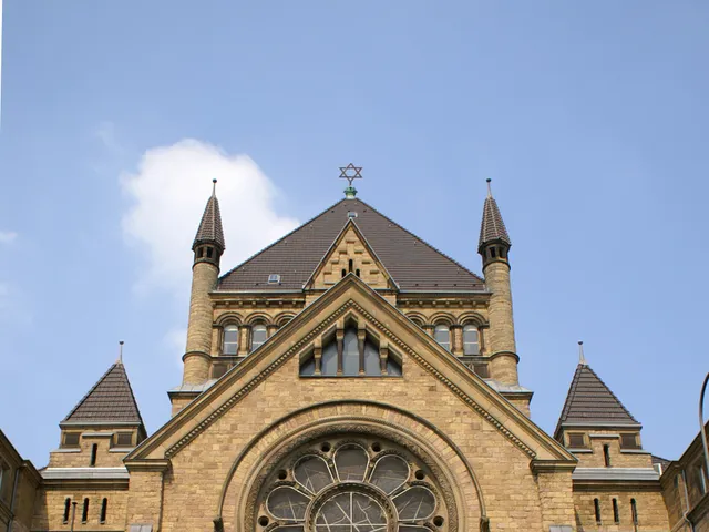
Founded in 1695, the cemetery on Judenkirchhofsweg is the oldest surviving Jewish cemetery in present-day Cologne and the final resting place of around 5,000 people.
An elongated green space in Cologne's Lindenthal district, designed in 1925 by garden director Fritz Encke – featuring a sunken garden, rose beds, water basins and a children's playground along the Lindenthal Canal.
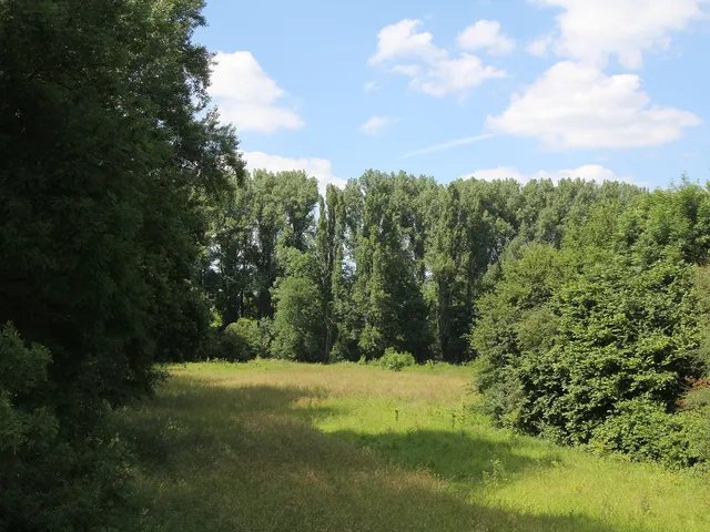
A species-rich Cologne nature reserve on a former gravel pit on the southern edge of Meschenich, with excavation lakes, reed beds and valuable bare-ground habitats.
A hilltop park in a former gravel pit, deliberately shaped as a nature garden — combining heathland, a lake, quarries and a rose garden in Cologne's Klettenberg.
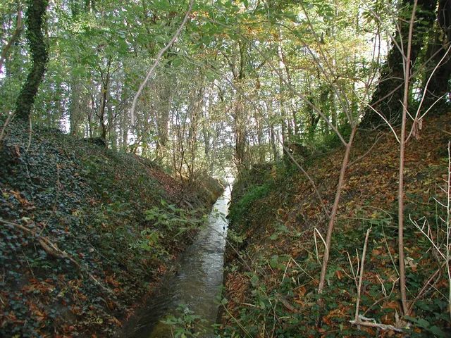
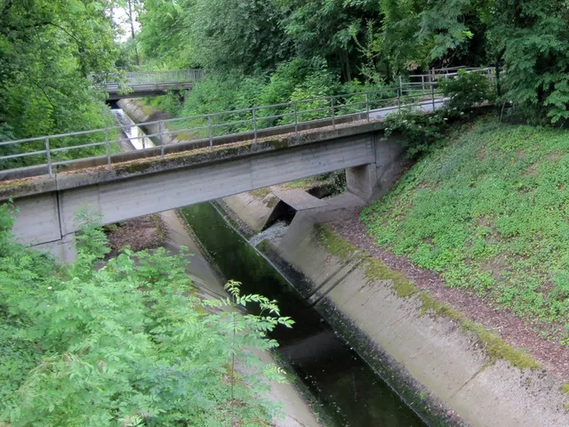
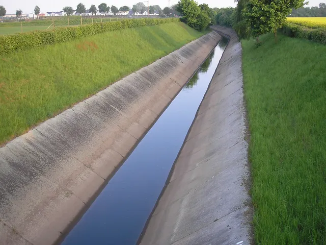
A nearly 20 km drainage canal on Cologne's city boundary — keeps the open-cast lignite mines dry and doubles as a continuous cycling route with a hydropower screw.
A Cologne nature reserve along a Rhine river bend in the Langel district, with remnants of floodplain forest, a flood dyke and a breeding ground for numerous rare bird species.
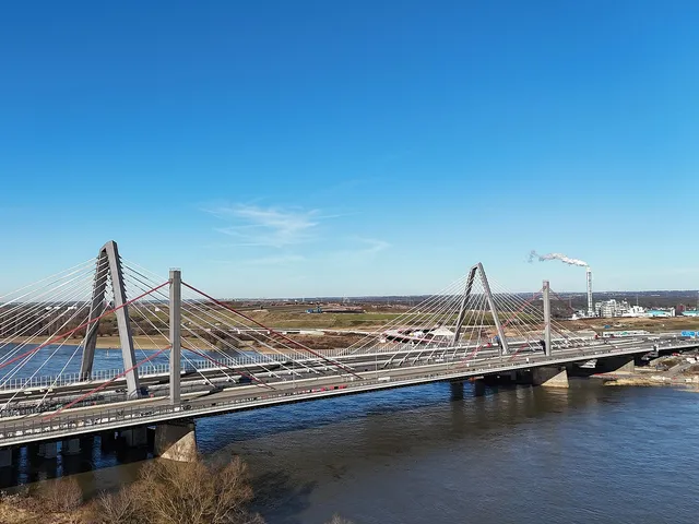
Cable-stayed bridge carrying the A1 motorway across the Rhine at Leverkusen — replacing the demolished 1965 bridge that could no longer handle modern traffic.
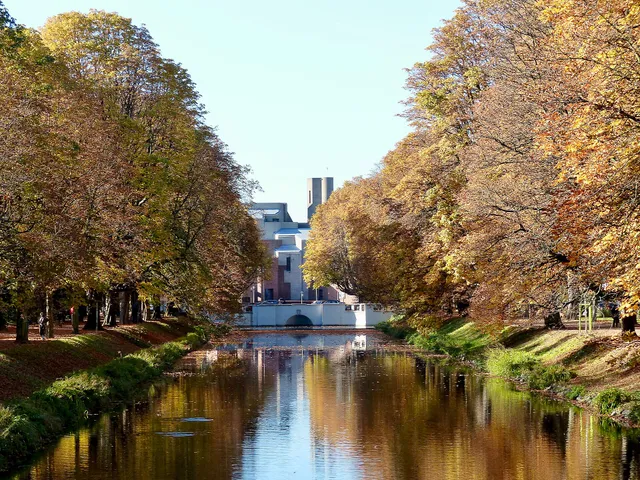
Radial water and green corridor in Lindenthal's green belt, best known for its chestnut avenue, maple-lined canal, and the shell limestone sculptures Centaur and Naiad.
A 2,300-square-metre garden square in the Lindenthal district, laid out by royal landscape architect Fritz Encke between 1906 and 1908 as a place of recreation for the residential quarter along Theresienstraße.
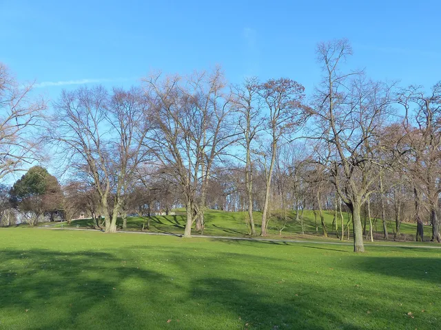
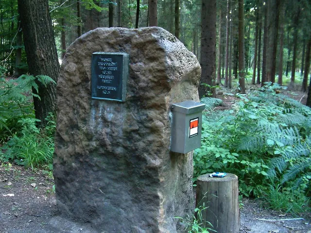
Cologne's highest natural point hides in the Königsforst: a wooded slope with a boulder, a summit plaque and a summit book – a popular hiking destination with a tongue-in-cheek invented name.
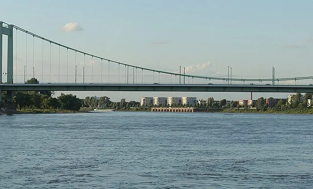
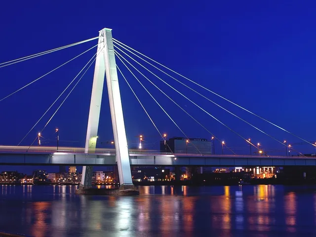
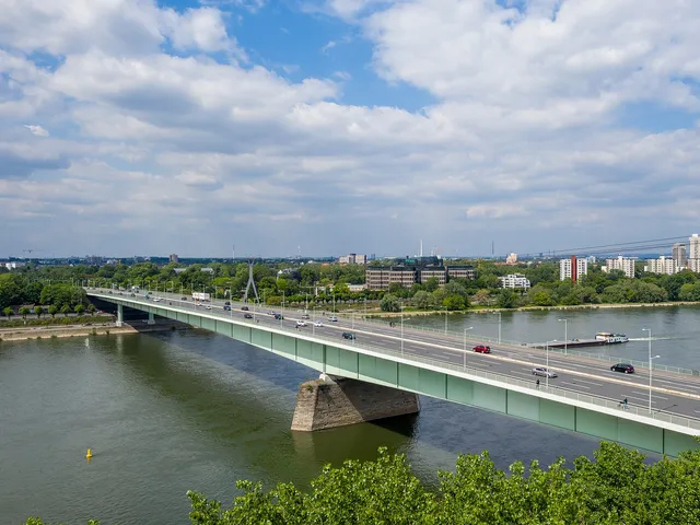
Rhine suspension bridge between Mülheim and Riehl — the origin of Cologne's iconic bridge-green colour and Germany's first bridge with an orthotropic deck.
A left tributary of the Dhünn stretching just over fifteen kilometres — from Odenthal through Bergisch Gladbach to Leverkusen, its final stretch running underground.
A former gravel pit on Cologne's north-eastern edge, a nature reserve since 1983 – a wetland habitat with over 200 bird species that can be viewed from a roughly 2 km circular trail.
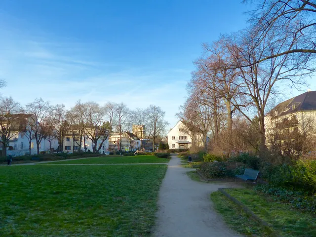
A green space in an ancient Rhine-arm hollow in Nippes – with a wide meadow, playground, boules court and dog run, where a fish lake and a pleasure garden once lay.
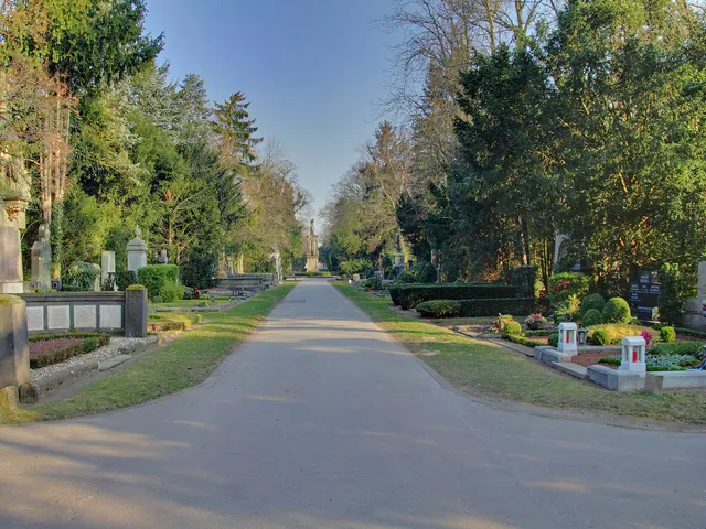
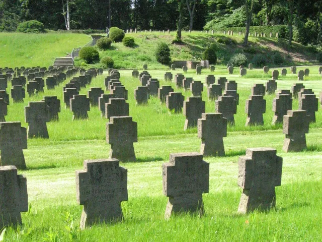
Laid out in 1946 as a woodland cemetery, this roughly 59-hectare burial ground in right-bank Dellbrück is among the most scenic cemeteries in the Cologne area, dotted with mixed forest and Bronze Age burial mounds.
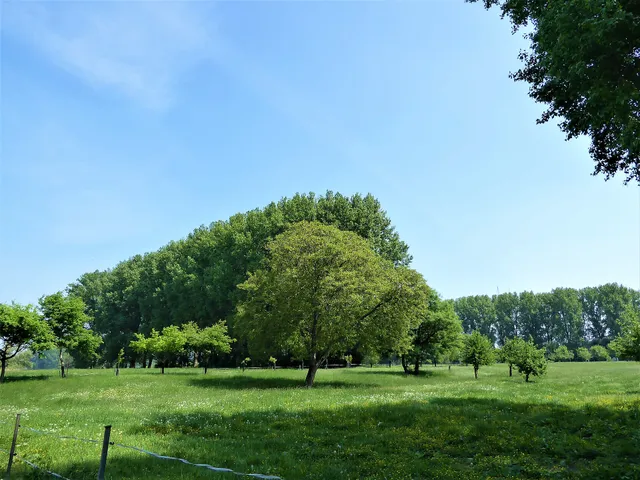
A nature reserve on the Rhine's left bank in northern Cologne, with floodplain forest, hay meadows and a near-natural riverbank between Langel and Merkenich.
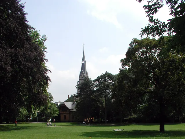
A heritage-listed city park in Neustadt-Süd, established in 1898 – once the "front garden" of the business college and the first seat of the University of Cologne.
English-garden landscape park on the Rhine, laid out 1828–1832 by Maximilian Weyhe — today a public green space and, since 2002, a venue for contemporary art.
A stream running entirely through the Königsforst nature reserve, flowing roughly five kilometres before joining the Flehbach opposite the Erkermühle mill.
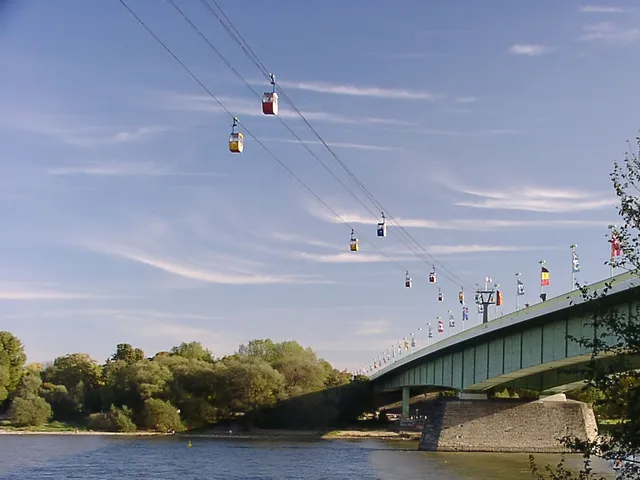
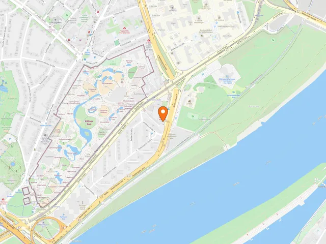
A roughly three-hectare park between the Zoobrücke bridge and the Rhine, where contemporary outdoor sculptures by German and international artists are partly renewed every two years.
Stream in the Bergisches Land that once powered the region's industry — today partly restored to daylight, partly still flowing through underground pipes.
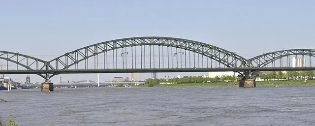
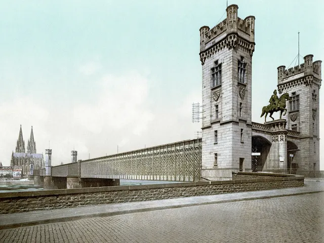
Steel three-arch railway bridge from 1910 spanning the Rhine, primarily for freight traffic, with pedestrian and cycle paths; listed heritage structure.
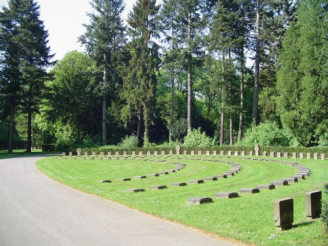
At more than 61 hectares, Cologne's largest cemetery — a parkland from 1901 holding Commonwealth war graves and tens of thousands of WWII bombing dead.
A small heritage-protected green space in Cologne's Zollstock district, laid out in 1910 by garden architect Fritz Encke and today also serving as a playground.
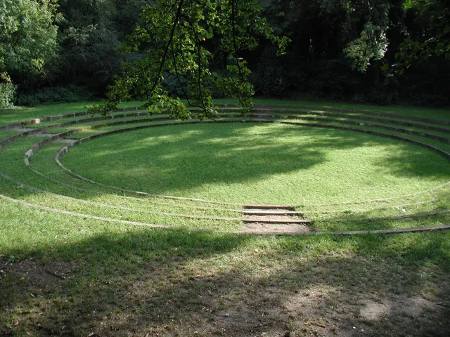
Laid out by Fritz Encke from 1922, this listed park features a natural theatre, reading garden and dance lawn — a landmark of social green space in Cologne's south.
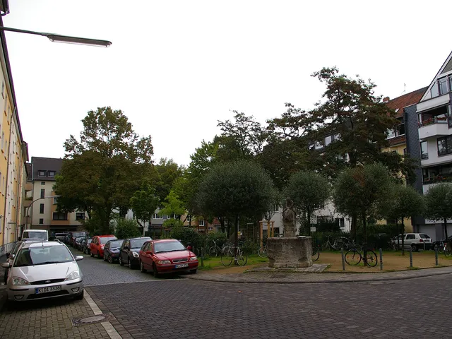
A heritage-protected green space from 1911/12 in Zollstock, designed by garden architect Fritz Encke – today a playground with old trees and a boules court.
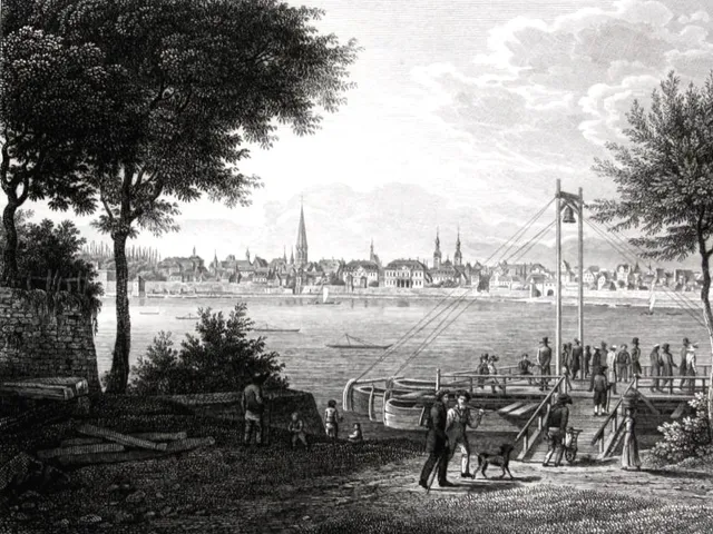
Floating timber bridge on some 40 anchored pontoons (1888–1927), with an opening section for river traffic, that replaced the Rhine ferry crossing at Mülheim.
A circular artificial pond laid out between 1928 and 1932 in Cologne's Outer Green Belt in Raderthal, destroyed in World War II — today only a hollow remains as a ground monument.