Herkulesberg
The "Mont Klamott" is Cologne's largest rubble hill – a wooded lookout mound and popular local recreation area in Neustadt-Nord.
The Herkulesberg, known locally in Cologne as "Mont Klamott," is the largest of eleven rubble hills within the city area. After the Second World War, most of the inner-city debris was piled up here into a green hill that now serves as a recreation area.
At a Glance
- District
- Neustadt-Nord
- Elevation
- 72.2 m above sea level
- Above surroundings
- around 25 m
- Base area
- roughly 130,000 m²
- Type
- largest of Cologne's eleven rubble hills
- Character
- densely wooded urban park
- Admission
- freely accessible
History
The hill was formed from the rubble of war-destroyed Cologne. Most of the inner-city debris was piled up on a base area of around 130,000 square metres. In this way the hill rose to an absolute height of 72.2 metres, standing about 25 metres above its immediate surroundings.
Location
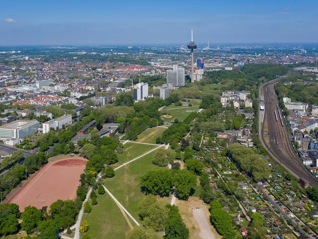
The Herkulesberg lies east of Herkulesstraße, between Innere Kanalstraße and the Mediapark. It is thus embedded right in the middle of Neustadt-Nord.
Today
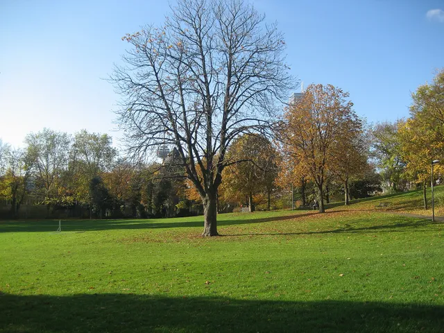
Today the hill is densely wooded and crossed by several paths that make it easily accessible to pedestrians and walkers. Terraces, lookout points and a mushroom-shaped weather shelter from the 1960s characterise the site as an urban park. Among Cologne's residents it is a very popular local recreation area.
Good to Know
The "Mont Klamott" is celebrated in the Bläck Fööss hit "Mer losse d'r Dom en Kölle" from November 1973. The line "D'r Mont Klamott dä heiss op eimol Zuckerhot. Do köm dat Panorama schwer en Brass" jokingly suggests the hill is suddenly named Zuckerhut (Sugarloaf) – putting Cologne's city panorama in trouble.
Gallery
Map
Blue dots: other places nearby — tap to explore.
Address
Herkulesberg
50670 Köln
You might also like — related or nearby
Comments
- Loading comments…
Sources & links
Auto-generated, last verified: 2026-07-09
How this page is made
This page draws on open sources — Wikipedia, Wikidata, official websites and the city’s open data. Every statement is checked against the sources linked here, and pages are refreshed regularly.
Spotted a mistake anyway? Tell us below — we read every submission.