Kurtenwaldbach
A stream from the Bergisches Land that winds through the Wahner Heide and ends by seeping into a pond at Gut Leidenhausen — never reaching a river.
The Kurtenwaldbach is a stream roughly 11.5 km long in North Rhine-Westphalia. Its course ends in an unusual way: instead of flowing into a larger river, the water disappears into a pond.
Source: Wikipedia
At a Glance
- Type
- Stream in North Rhine-Westphalia
- Length
- approx. 11.5 km
- Source
- Forsbach district of Rösrath (Rheinisch-Bergischer Kreis)
- End
- seeps into a pond at Gut Leidenhausen
- Location (Cologne section)
- Eil district, Porz borough
- Notable feature
- passes through the Wahner Heide
The Kurtenwaldbach doesn't flow into a river or lake – it simply seeps into a pond at Gut Leidenhausen, disappearing into the ground.
Things to do here
- Follow the brook through the Wahner Heide
- Discover the seeping pond at Gut Leidenhausen
- Hike through the adjacent Königsforst
- Watch and photograph nature in peace
- Stroll along the water
Course
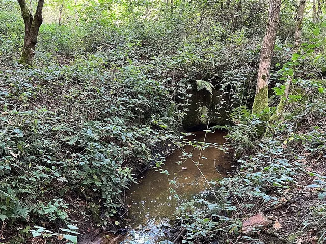
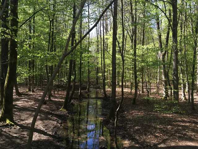
The stream rises in Forsbach and flows in a south-westerly direction along the boundary between residential development and the Königsforst woodland. It passes beneath Kölner Straße, flows through the Waldhausteich pond, and then runs under the A3 motorway before continuing through the Wahner Heide.
An Unusual Ending
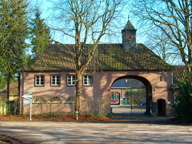
Beyond the Grengeler Mauspfad path, the Kurtenwaldbach turns south and reaches Gut Leidenhausen. There, its water seeps into a pond — meaning the stream never connects to any receiving watercourse.
Map
Blue dots: other places nearby — tap to explore.
You might also like — related or nearby
Comments
- Loading comments…
Sources & links
Auto-generated, last verified: 2026-06-26
How this page is made
This page draws on open sources — Wikipedia, Wikidata, official websites and the city’s open data. Every statement is checked against the sources linked here, and pages are refreshed regularly.
Spotted a mistake anyway? Tell us below — we read every submission.