Butzbach
A roughly 5.8 km sandy stream that rises in the Wahner Heide and seeps away in the Grengel Bieselwald – part of a protected landscape area in southern Cologne.
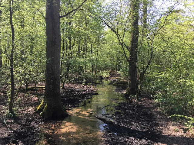
The Butzbach is a sandy stream that rises in the Hasbach district of Rösrath, flows westward through the Wahner Heide and, after a total of 5.8 kilometres, seeps away within Cologne city limits in the Grengel Bieselwald.
Source: Wikipedia
At a Glance
- Type
- sandy stream, protected landscape feature
- Length
- about 5.8 kilometres
- Source
- Rösrath-Hasbach
- End
- seeps away in the Grengel Bieselwald
- Location
- Wahner Heide to Cologne-Grengel (Porz borough)
- Of note
- feeds the Upper and Lower Senkelteich ponds
The Butzbach flows into no other river: after around 5.8 kilometres it simply seeps away in the Grengel Bieselwald – but not before feeding the Upper and Lower Senkelteich ponds along the way.
Things to do here
- Hike on natural trails through the Wahner Heide
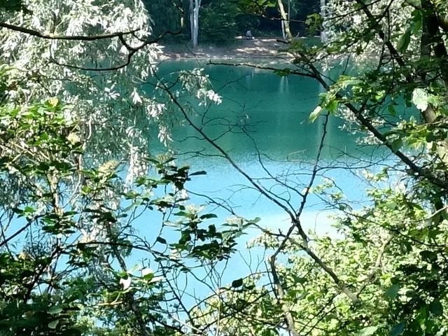
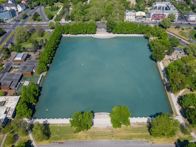
- Visit the Senkelteich ponds fed by the stream in the Bieselwald
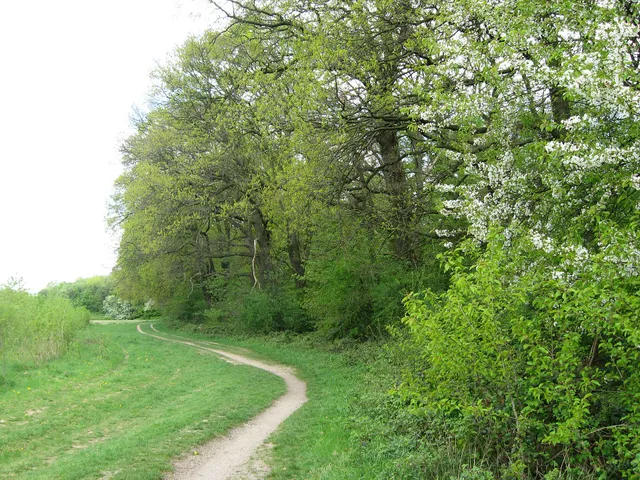
- Observe the heath and woodland along the watercourse
Course
From Hasbach the sandy stream first flows west through the Wahner Heide. After passing beneath the Alte Kölner Straße it runs largely underground and piped across the grounds of Cologne Bonn Airport and fills retention areas in Cologne-Grengel. It then winds southward above ground through the settlement, past the Catholic church of St. Mariä Himmelfahrt, until it reaches the Bieselwald.
Nature and Landscape Protection
The Butzbach formed as the runoff of water from the sand-covered middle terrace of the Wahner Heide down to the lower terrace on which the Grengel district now stands. In the Bieselwald it feeds the Upper and then the Lower Senkelteich, ponds probably created as retention basins to protect the settlement and the heath from flooding. The stream and its two ponds are protected within the landscape conservation area "Freiräume um Zündorf, Wahn, Libur, Lind und Langel rechtsrheinisch".
Gallery
Map
Blue dots: other places nearby — tap to explore.
You might also like — related or nearby
Comments
- Loading comments…
Sources & links
Auto-generated, last verified: 2026-07-01
How this page is made
This page draws on open sources — Wikipedia, Wikidata, official websites and the city’s open data. Every statement is checked against the sources linked here, and pages are refreshed regularly.
Spotted a mistake anyway? Tell us below — we read every submission.