Giesbach
A roughly 8.3 km stream that rises in the Königsforst and finally splits into two arms that seep away in ponds – with a water-treading station at a tri-city point.
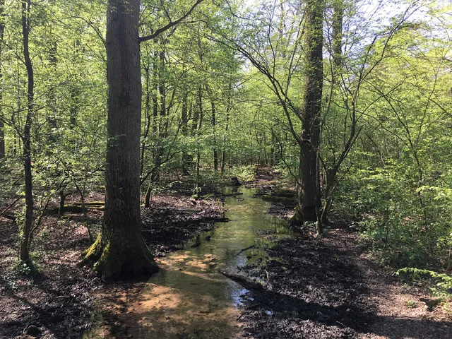
The Giesbach is a stream of around 8.3 kilometres that rises in the Königsforst and flows across the Wahner Heide as far as Rath/Heumar. At its water-treading pool, three cities meet at a single point.
Source: Wikipedia
At a glance
- Length
- approx. 8.3 km
- Source
- Königsforst, north of Forsbach at the eastern start of the Brück-Forsbacher Weg
- Direction of flow
- south-westerly
- Highlight
- water-treading pool on the Rath-Forsbacher Weg, where Cologne, Bergisch Gladbach and Rösrath meet
- Passes through
- Königsforst and Wahner Heide
- End
- Schloss Röttgen in Rath/Heumar — seeps away into ponds
- Crosses
- Rösrather Straße, the A3 motorway, Bensberger Straße, Heumarer Mauspfad
At the water-treading station on Rath-Forsbacher Weg three cities meet at a single point: Cologne, Bergisch Gladbach and Rösrath all come together here.
Things to do here
- Hike through the Königsforst
- Try Kneipp water-treading at the station on Rath-Forsbacher Weg
- Pause at the point where Cologne, Bergisch Gladbach and Rösrath meet
Source and setting
The Giesbach begins in the Königsforst north of Forsbach, at the point where the Brück-Forsbacher Weg starts in the east. From here it turns to the south-west, a direction it keeps for its entire course.
One spot is particularly special: at the water-treading pool on the Rath-Forsbacher Weg, the municipal boundaries of Cologne, Bergisch Gladbach and Rösrath all come together — a tri-border point in miniature that you can cross in a few steps.
Course and outflow
Beyond the water-treading pool, the stream first passes beneath Rösrather Straße and then under the A3 motorway. With that it leaves the woodland behind and enters the Wahner Heide, running along the southern edge of military training pond 3. Here, too, water and paths keep crossing: the Giesbach passes under Bensberger Straße and the Heumarer Mauspfad.
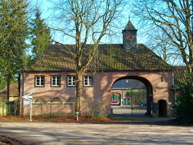
The stream comes to an end on the grounds of Schloss Röttgen in Rath/Heumar, where it splits into a main and a secondary arm — both seep away into ponds rather than flowing into any larger body of water.
Gallery
Map
Blue dots: other places nearby — tap to explore.
You might also like — related or nearby
Comments
- Loading comments…
Sources & links
Auto-generated, last verified: 2026-07-15
How this page is made
This page draws on open sources — Wikipedia, Wikidata, official websites and the city’s open data. Every statement is checked against the sources linked here, and pages are refreshed regularly.
Spotted a mistake anyway? Tell us below — we read every submission.