Strunde
Stream in the Bergisches Land that once powered the region's industry — today partly restored to daylight, partly still flowing through underground pipes.
The Strunde, also known as Strunder Bach, is a former right-bank tributary of the Rhine in North Rhine-Westphalia. The Bergisch Gladbach district of Herrenstrunden, where it rises, takes its name from the stream; today its waters drain into the Faulbach.
Source: Wikipedia
At a Glance
- Type
- Stream, formerly a right-bank tributary of the Rhine
- Source
- Karst spring near Herrenstrunden (Bergisch Gladbach)
- Flow rate
- Average around 50 l/s, occasionally up to 830 l/s
- Course
- From Bergisch Gladbach through Cologne-Dellbrück and -Holweide
- Outflow
- Now into the Faulbach
- Notable for
- Serving as a water and energy source during industrialisation
The officially stone-framed 'source' of the Strunde, created in 1956, is purely symbolic — the stream is actually fed by multiple springs, and about 150 meters downstream there is another real spring in the nearby Komturei pond.
Source and Course
The Strunde is traditionally said to rise at a karst spring about 100 metres north-east of Herrenstrunden's parish church, where rising bubbles mark the point where water emerges. The spring, enclosed in natural stone in 1956, is largely symbolic, however, as the stream is fed by several sources — including one in the Komturei pond at the Maltese Commandery. Along the way it picks up various tributaries, passes the Malteser Mill, Gut Schiff farm and the Alte Dombach Paper Museum, then flows through the built-up centre of Bergisch Gladbach.
Culverting and Daylighting
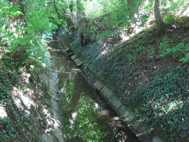
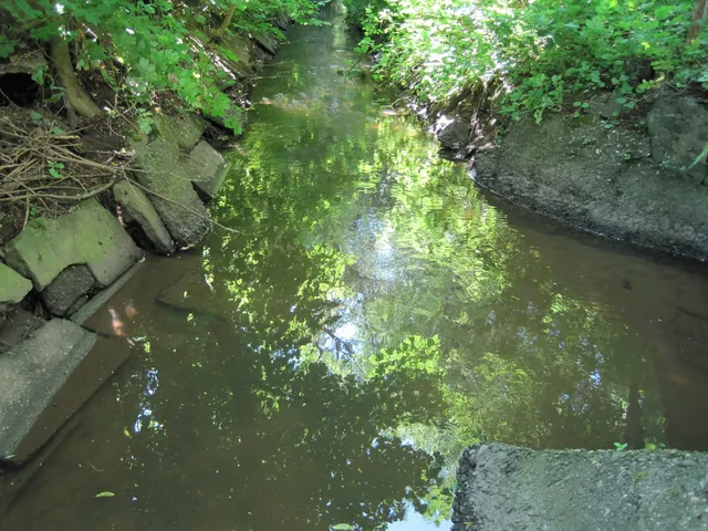
As Bergisch Gladbach grew rapidly, the stream disappeared underground into a culvert just before the town centre, surfacing only at a handful of points. In recent years, individual sections in the centre have been restored to open channels. From Richard-Zanders-Straße onwards the Strunde flows mostly in the open, crosses into Cologne and continues largely above ground through the Dellbrück and Holweide districts.
History
In earlier times the Strunde lost itself in the Thielenbruch marshland before reaching the Rhine. Only in the 6th century was the streambed artificially extended to the Rhine at Mülheim, draining the swampy ground. The drainage ditches that resulted were also used by farmers to irrigate meadows and fields during dry spells; some of the ditches and sluice gates survive to this day, commemorated in the Holweide street name Am Flutgraben.
Did You Know?
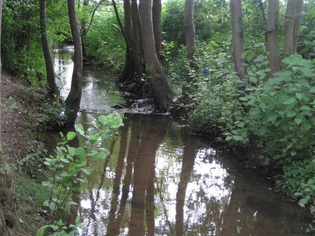
The banks of the Strunde are lined with many hollow willows — and it is these trees that gave the Cologne district of Holweide its name. Woven wickerwork was used to stabilise the riverbanks, a technique still visible in places along the stream today.
Timeline
- 6. JahrhundertStreambed artificially extended to the Rhine in Mülheim, wetland drained
- 1956Karst spring enclosed with natural stones
Gallery
Map
Blue dots: other places nearby — tap to explore.
You might also like — related or nearby
Comments
- Loading comments…
Sources & links
Auto-generated, last verified: 2026-06-27
How this page is made
This page draws on open sources — Wikipedia, Wikidata, official websites and the city’s open data. Every statement is checked against the sources linked here, and pages are refreshed regularly.
Spotted a mistake anyway? Tell us below — we read every submission.