Parkweiher (Raderthal)
A circular artificial pond laid out between 1928 and 1932 in Cologne's Outer Green Belt in Raderthal, destroyed in World War II — today only a hollow remains as a ground monument.
since 1928
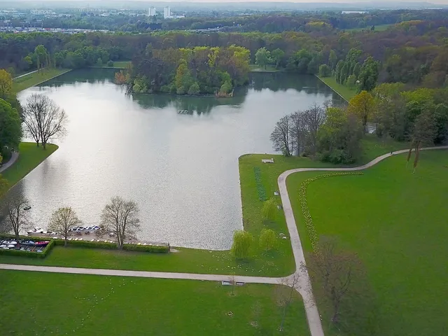
The Parkweiher was an artificial, circular pond in the Outer Green Belt in Cologne's Raderthal district. It no longer exists; in its place a large hollow has been preserved as a ground monument.
At a Glance
- Type
- artificial pond (no longer existing)
- Location
- Outer Green Belt, Raderthal district
- Created
- between 1928 and 1932
- Planning
- city building councillor Theodor Nußbaum, Cologne Garden Administration
- Shape
- circular with a rectangular notch to the west
- Destroyed
- in World War II by bombing
- Today
- hollow preserved as a ground monument
Age comparison
Age compared with other places in Cologne.
History
The pond was created between 1928 and 1932 during the conversion of Cologne's former ring of fortifications into the Outer Green Belt. The plans were the responsibility of Theodor Nußbaum, city building councillor and head of the design office of the Cologne Garden Administration. A circular body of water was laid out, featuring a rectangular notch towards the west. During World War II the Parkweiher was destroyed by bombs and was not rebuilt afterwards.
Location and Surroundings
The Parkweiher was one of the artificial lakes in the protected landscape area "Outer Green Belt from Müngersdorf to Marienburg and connecting green corridors". The same group includes the Decksteiner Weiher, the Adenauerweiher and the angular Kalscheurer Weiher, which was built at the same time west of Brühler Straße and still exists today.
Today
There is no longer any water at this spot. A large hollow in the terrain remains as a ground monument recalling the former Parkweiher.
Map
Blue dots: other places nearby — tap to explore.
Address
Raderthal
50997 Köln
You might also like — related or nearby
Comments
- Loading comments…
Sources & links
Auto-generated, last verified: 2026-07-07
How this page is made
This page draws on open sources — Wikipedia, Wikidata, official websites and the city’s open data. Every statement is checked against the sources linked here, and pages are refreshed regularly.
Spotted a mistake anyway? Tell us below — we read every submission.