Naturschutzgebiet Königsforst
A large, unbroken protected woodland in Cologne's east, with old oak and beech forests, near-natural sandy streams and rare wildlife.
since 2000
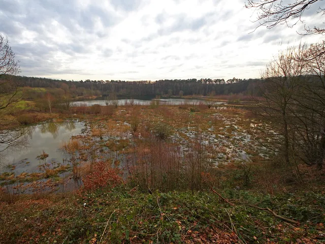
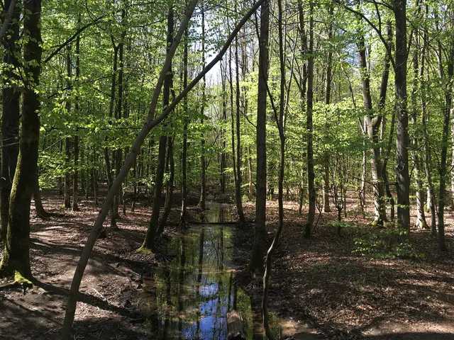
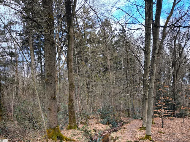
In the east of Cologne, the Königsforst forms one of the region's large, unbroken woodlands. This nature reserve protects old broadleaf forests, near-natural stream courses and the habitat of numerous threatened species.
At a Glance
- Location
- Cologne's east, Rath/Heumar district, bordering Bergisch Gladbach and Rösrath
- Protection status
- Nature reserve since 2000, and also a Natura 2000 (FFH) and EU bird sanctuary
- Landscape
- Part of the Bergische Heideterrasse, a large and closed woodland
- Forest type
- Mixed oak woods on sandy soil alternating with acidic beech forests
- Highlight
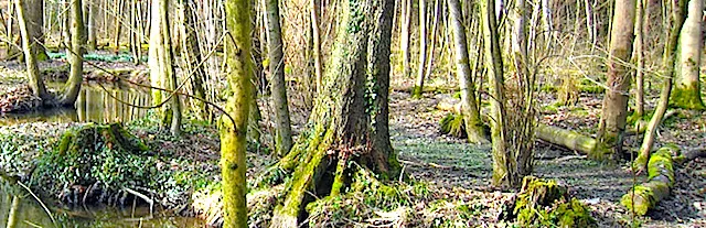
- Near-natural sandy streams lined by alder brookside woods, alder swamps and bog forests
- Significance
- A core area in a European network of woodland biotopes and an important groundwater recharge zone
- Neighbour
- Directly adjoins the Wahner Heide nature reserve to the south
Area comparison
Largest park in Cologne
Area compared with other Cologne parks and green spaces.
Age comparison
Age compared with other places in Cologne.
Location & Landscape
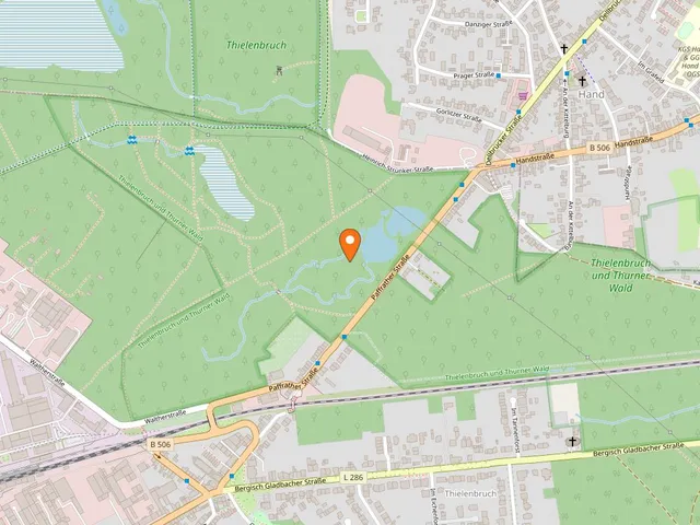
The reserve lies in Cologne's Rath/Heumar district, bounded to the north by the Lützerather Straße (L 358) and to the south by the A 3 motorway. To the east the forest continues in the neighbouring Königsforst (Rhein-Berg) nature reserve, taking in the towns of Bergisch Gladbach and Rösrath. As part of the Bergische Heideterrasse, the Königsforst is defined by its age, its unbroken canopy and its partly near-natural streams — qualities that make it a core area within the European network of woodland biotopes. The Wahner Heide nature reserve begins immediately to the south.
Protection Status & Ecology
The nature reserve was established in 2000 to conserve the forest's living communities and the species typical of natural broadleaf woodland. In the same year the area was designated an FFH site, "Koenigsforst" (DE-5008-302), under the EU Habitats Directive. It is characterised by a mosaic of extensive mixed oak woods on sand and acidic beech forests, threaded by a partly near-natural system of sandy streams. Protected habitats include alder, ash and softwood alluvial forests as a priority habitat, woodrush and woodruff beech forests, old base-poor oak woods with pedunculate oaks, and oak-hornbeam forest. Beyond woodland protection, the reserve also safeguards alder swamps and bog forests, ponds and reservoirs, springs and other small biotopes — and serves quiet, nature-focused recreation.
Wildlife
The streams of the Königsforst are home to two especially protected fish, the bullhead and the brook lamprey. For the stag beetle, the reintroduction of populations and habitats is to be encouraged. Since 2004 the forest has additionally been designated the EU bird sanctuary "Königsforst" (DE 5008-401), protecting the habitats of rare birds — among them the kingfisher, grey woodpecker, middle spotted woodpecker, red kite, black woodpecker and European honey buzzard.
Gallery
Map
Blue dots: other places nearby — tap to explore.
Hours
So: 00:00–24:00
You might also like — related or nearby
Comments
- Loading comments…
Sources & links
- Official website
- Official website (retrieved 2026-08-01)
- Wikidata (retrieved 2026-08-01)
- Wikipedia (retrieved 2026-08-01, rev 260035713)
Auto-generated, last verified: 2026-08-01
How this page is made
This page draws on open sources — Wikipedia, Wikidata, official websites and the city’s open data. Every statement is checked against the sources linked here, and pages are refreshed regularly.
Spotted a mistake anyway? Tell us below — we read every submission.