Lusthaus
A vanished pleasure lodge in Köln-Rath whose view once reached all the way to Cologne Cathedral – today its site lies hidden in the “Am Lusthaus” biotope.
Little is known about this small estate, and what survives comes mostly from historic maps and a single mention from the 1920s.
At a Glance
- Type
- former manor seat in the style of a small pleasure palace
- Location
- east of the Rhine, in the Rath district, Kalk borough
- Orientation
- about 400 meters north of Burg Rath, north of Heumar
- Area
- roughly three hectares still discernible on site
- Protection
- part of the protected landscape feature (LB 8.07) “Am Lusthaus”
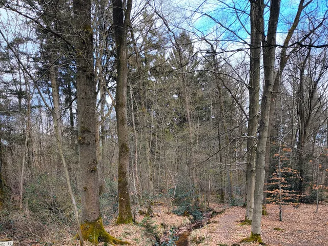
From Cologne's Lusthaus, a small pleasure-palace-style estate, the view to Cologne and its cathedral was once unobstructed, which is seen as its likely purpose. Today the site is densely wooded as the protected biotope "Am Lusthaus", and in 2013 a new street in a housing development was named after the field name.
View and Likely Purpose
When the estate was probably in use, the view from it toward Cologne and the cathedral was still unobstructed. Both this outlook and the nature of the complex suggest what it was built for.
Setting in the Landscape
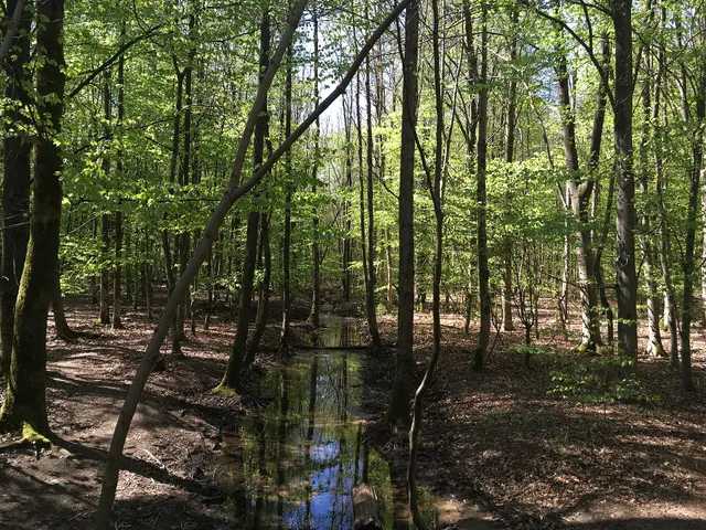
The Lusthaus stood about 150 meters to the right of the Rather Kirchweg, the path that once led from Burg Rath to the Catholic parish church of St. Gereon in Merheim. The Lehmbacher Weg branches off just 100 meters further on. A stream running from the Königsforst through the fields, coming from the direction of the Erker-Mühle, once fed the estate's moats.
Traces on Maps and in the Ground
As early as 1790, C. F. Wiebeking marked the Lusthaus, though without a name, on his map of the Duchy of Berg. The Prussian Neuaufnahme topographic map of 1893 still shows the complex with several buildings and associated gardens. In the mid-1920s, Bendel reported that remains of the moat and a tower could still be found.
Visitor Notes
The former site cannot be seen directly and is now densely overgrown with trees. The land between the site and the Rather Kirchweg remains unused or serves as pasture.
The Street Name “Am Lusthaus”
At the start of the Rather Kirchweg, behind house number 16, construction of a new development with 31 single-family homes began in late 2013. At its 36th meeting on 28 November 2013, the Kalk district council decided to name the new street after the adjoining field name “Am Lusthaus.”
Timeline
- Mitte der 1920er JahreBendel mentions surviving remains of the moat and a tower
- 1790Wiebeking's map of the Duchy of Berg shows the Lusthaus (unnamed)
- 1893Topographic map shows the complex with several buildings and gardens
- Ende 2013Construction of a new housing area with 31 houses begins on Rather Kirchweg
- 28. November 2013Kalk district council decides on the street name 'Am Lusthaus'
Map
Blue dots: other places nearby — tap to explore.
Address
Am Lusthaus
51107 Köln
You might also like — related or nearby
Comments
- Loading comments…
Sources & links
Auto-generated, last verified: 2026-10-18
How this page is made
This page draws on open sources — Wikipedia, Wikidata, official websites and the city’s open data. Every statement is checked against the sources linked here, and pages are refreshed regularly.
Spotted a mistake anyway? Tell us below — we read every submission.