Kalker Friedhof
Municipal cemetery from 1904 in Cologne-Merheim on the right bank of the Rhine, with around 14,000 graves and historic wall tombs.
since 1904
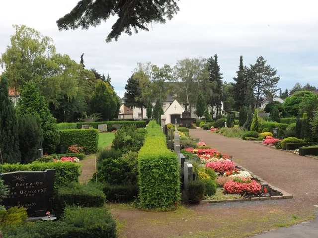
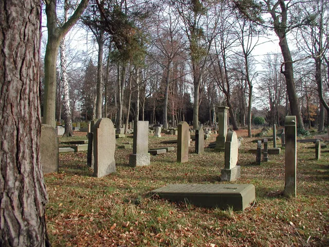
The Kalker Friedhof is a municipal cemetery in the district of Merheim on the right bank of the Rhine in Cologne. Since it opened in 1904, the spacious grounds have served as the resting place for people from Kalk and the surrounding area.
Source: Wikipedia
At a Glance
- District
- Merheim (right-bank Cologne)
- Established
- 1904, opened on 3 November
- Area
- around 15.4 hectares
- Graves
- approximately 14,000
- Type
- municipal cemetery
- Expansion
- significantly enlarged in the 1960s
Age comparison
Age compared with other places in Cologne.
History
When the cemetery was laid out in 1904, Kalk was still an independent town – its incorporation into Cologne did not follow until 1910. The older Kalker Friedhof on Kapellenstraße, preserved today as a park, no longer offered enough space, so a new and considerably larger burial ground became necessary. It was established further out of town in Merheim on a plot provided by the merchant Joseph Bardenheuer, who was himself later buried there. The grounds opened on 3 November 1904. During the 1960s the cemetery was substantially expanded and now covers about 15.4 hectares.
Graves and Memorials
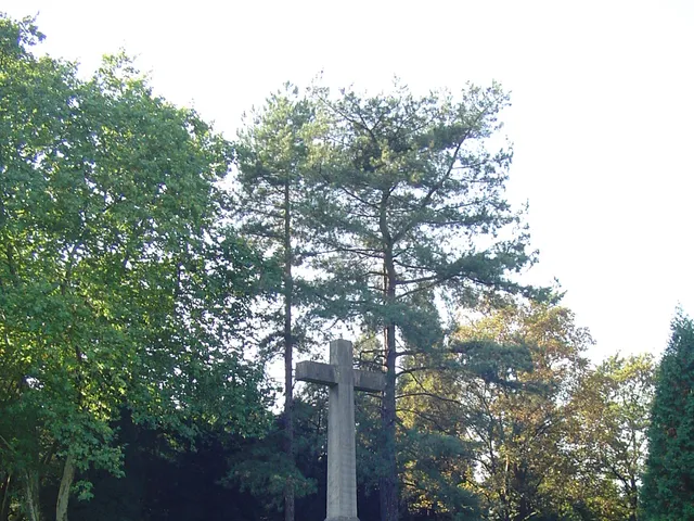
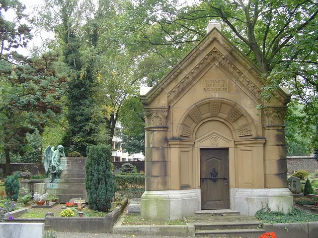
Among the best-known graves is the elaborate wall tomb of Joseph Bardenheuer near the main entrance. Also buried here is the educator Heinrich Welsch, whose grave lies in section 44. The oldest grave can be found at the end of the main path on the left-hand side: it holds Aloys Thumb, the second-to-last mayor of the town of Kalk, who was interred there as early as November 1900. In total the cemetery contains around 14,000 graves. A tall cross with a bronze corpus, erected around 1920, is attributed to Franz Albermann (1877–1959) and Wilhelm (Willi) Albermann Jr. (born 1873).
Gallery
Map
Blue dots: other places nearby — tap to explore.
You might also like — related or nearby
Comments
- Loading comments…
Sources & links
Auto-generated, last verified: 2026-08-06
How this page is made
This page draws on open sources — Wikipedia, Wikidata, official websites and the city’s open data. Every statement is checked against the sources linked here, and pages are refreshed regularly.
Spotted a mistake anyway? Tell us below — we read every submission.