Amerikanerbrücke
A temporary US Army bridge that crossed the Rhine south of the Südbrücke from 1945 to 1946, connecting the districts of Poll and Bayenthal.
since 1945
The Amerikanerbrücke, also called Amerikaner-Brücke, was a temporary bridge of the immediate post-war period that crossed the Rhine in Cologne. It no longer exists today.
Source: Wikipedia
At a Glance
- Type
- Temporary (pontoon) bridge built by the US Army
- Construction
- Started 16 March or April 1945 (April more likely)
- Dismantled
- September 1946
- Width
- 9 metres
- Navigation opening
- 25 metres
- Connected
- the districts of Poll and Bayenthal
- Location
- near Rhine kilometre 684, south of the Südbrücke
Age comparison
Age compared with other places in Cologne.
Background
After the 1st US Army reached Cologne on 5 March 1945 as part of Operation Lumberjack, German engineers blew up the Hohenzollern Bridge on 6 March 1945 — the last intact Cologne bridge across the Rhine. On 14 April 1945, US Army armoured troops who had earlier crossed the Rhine at Remagen reached Cologne-Porz and subsequently took full control of the districts on the right bank of the Rhine.
Construction and Purpose
To enable movement between the two banks of the Rhine, the US Army erected a pontoon bridge south of the Südbrücke. Depending on the source, construction is dated to either 16 March or April 1945, with the April date considered more likely, since only from then on were both banks of the Rhine occupied by the US Army. The bridge was nine metres wide; a 25-metre navigation opening kept the still-essential Rhine shipping traffic flowing.
Location
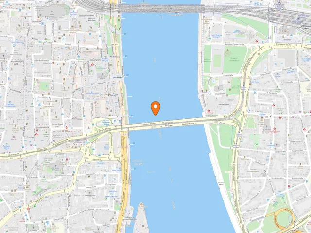
The Amerikanerbrücke was built between Cologne's two destroyed southernmost bridges, the Südbrücke and the Rodenkirchen Bridge, near Rhine kilometre 684. It connected the districts of Poll and Bayenthal and led, as an extension of Schönhauser Allee, onto the Poller Wiesen.
The End
With the construction of the McNair Bridge, the Amerikanerbrücke lost its importance. It was dismantled in September 1946.
Map
Blue dots: other places nearby — tap to explore.
You might also like — related or nearby
Comments
- Loading comments…
Sources & links
Auto-generated, last verified: 2026-07-08
How this page is made
This page draws on open sources — Wikipedia, Wikidata, official websites and the city’s open data. Every statement is checked against the sources linked here, and pages are refreshed regularly.
Spotted a mistake anyway? Tell us below — we read every submission.