Kölnpfad
A 171 km circular hiking trail encircling Cologne in eleven stages, deliberately weaving through nature, residential areas, industry, and transport infrastructure.
since 2008
The Kölnpfad is a circular hiking trail that loops around Cologne in eleven stages. Opened in 2008, it is deliberately routed through the city's contrasting landscapes — from forests and parks to industrial plants and motorways.
Source: Wikipedia
At a Glance
- Type
- Circular hiking trail around Cologne
- Length
- 171 km in eleven stages (9 to 22 km each)
- Trail marker
- White circle on black background (NRW standard for circular town trails)
- Highest point
- Near the Breite district
- Opened
- 27 September 2008
- Access
- Start, end, and many intermediate points reachable by bus and train
- Concept
- Route through nature, residential areas, industry, and transport infrastructure
Age comparison
Age compared with other places in Cologne.
Route and Marking
The route was established in 2007 and marked out in summer 2008. The original plan called for 155 km; nature reserves that could not be crossed and private land that had to be bypassed pushed the total to 171 km. With two exceptions the trail stays within Cologne's city limits: in the right-bank south it crosses into Niederkassel territory, and in the northeast a detour leads into the Bergisch Gladbach area, where on a clear day you can see all of Cologne spread out below. The Cologne Eifel Club's red-and-white Kölnpfad logo with black cathedral towers appears at some points alongside the official marker, though it is not an official symbol of the German hiking network and is not posted continuously.
Concept
The trail is not merely an invitation to hike in nature — it also conveys cultural aspects, urban history, and details from the city's edges, with information boards pointing out sights, rest areas, playgrounds, and places to eat. Deliberately, the route does not stick to woodland, parks, and fields: industrial plants, motorways, and railway lines are all part of the experience. The Kölnpfad crosses the Rhine via the Rodenkirchener Autobahnbrücke and encounters the river repeatedly. Its appeal lies in the constant alternation between natural areas and residential neighbourhoods, industry, farmland, and transport corridors.
Origins
The route was planned largely by Fritz Hoepfner, a hiking guide for the Cologne Eifel Club. Deputy chairperson Ingrid Mölders took up the original idea of former chairman Theodor Schinscholl (1933–2011) and brought it to fruition. At her suggestion, dialect poet Hans Knipp wrote the lyrics for a Kölnpfad song, which Bömmel Lückerath of the band "Bläck Fööss" set to music — creating the anthem "Eimol öm Kölle röm" (Once Around Cologne).
Getting Around and Maps
Bus and train stops appear regularly along the route, so every stage can be shortened, started mid-way, or ended at any point on the next stage. A dedicated hiking book and a 1:25,000 trail map have been published, showing stages, start and end points, and places to stop. Those with less time can opt for a shorter loop of around 65 km developed and signed by the Kölner Grün Stiftung in 2014 through the outer green belt on both sides of the Rhine — a route that overlaps extensively with the Kölnpfad itself.
Guided Walks
Because you can join or leave the trail at almost any point, the Cologne Eifel Club offers guided walks on 15 sections. For logistical and thematic reasons — such as shorter walks for children — their lengths and start and end points differ from the official stages, but they follow the Kölnpfad route exactly.
Gallery
Map
Blue dots: other places nearby — tap to explore.
You might also like — related or nearby
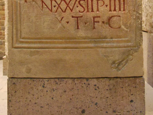
The Alteburg Fleet Fort – Headquarters of the Roman Rhine Fleet in Cologne-Marienburg
The district of Marienburg was once home to the headquarters of the Classis Germanica, Rome's Rhine fleet. Nothing of it survives above ground today – the fort lies entirely beneath the densely built-up Alteburg area.
Comments
- Loading comments…
Sources & links
Auto-generated, last verified: 2026-06-30
How this page is made
This page draws on open sources — Wikipedia, Wikidata, official websites and the city’s open data. Every statement is checked against the sources linked here, and pages are refreshed regularly.
Spotted a mistake anyway? Tell us below — we read every submission.