Roncalliplatz
The square around Cologne Cathedral traces a dramatic transformation from a densely built medieval neighbourhood to an open national monument.
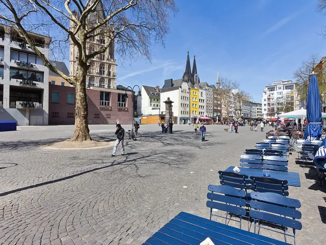
The area surrounding Cologne Cathedral is one of the city's most significant urban spaces, and its character has changed fundamentally since the Middle Ages. Where the still-unfinished cathedral was once hemmed in by houses and smaller churches, it now stands in open air.
At a Glance
- District
- Altstadt-Nord (Innenstadt borough)
- Medieval period
- dense construction right up to the cathedral walls
- Turning point
- cathedral cleared as a national monument
- 1880
- completion of the cathedral; surrounding area opened up
- 1970
- the Domplatte links the cathedral seamlessly to the pedestrian zone
- Today
- shaping the cathedral precinct remains an ongoing urban planning challenge
On 16 October 1798, the French administration installed a guillotine at the Domhof – right next to Cologne Cathedral – where more than 30 people were executed; blood-stained piles of sand and human hair left on the square made passing through the cathedral precinct deeply distressing for residents.
The Cathedral in Medieval Cologne
In medieval Cologne, buildings stood directly beside the cathedral with none of today's breathing room. Contemporary depictions show it surrounded by the residences of the bishop and cathedral chapter, as well as secular structures. Arnold Mercator's 1570 city view documents dense construction in every direction; only the Domhof offered an unobstructed view of the cathedral.
Market and Guillotine at the Domhof
The Domhof served as a market square lined with stalls and trading booths. On its western side stood the so-called "Kampfhof" — an arena for court-ordered duels, first mentioned in 1356. During French rule, the square — then called Place Métropole — saw a guillotine erected on 16 October 1798; more than 30 people were executed in the immediate vicinity of the cathedral.
Opening Up the Cathedral
Early plans for a cathedral terrace date back to sketches by Karl Friedrich Schinkel in 1816, who envisioned demolishing the old houses and creating a ring of green space down to the Rhine. When the cathedral was completed in 1880, it was set free on generous open grounds as a national monument, the cathedral mound becoming an island in a stream of traffic. How best to design the cathedral precinct has remained an open question for Cologne's urban planners ever since.
Timeline
- 1165Archbishop's prison "Hacht" built near the cathedral
- 1570Mercator's city view documents dense buildings around the cathedral
- 16. Oktober 1798French administration installs guillotine at Domhof (Place Métropole)
- 1802Secularisation: expropriation and demolition of religious buildings around the cathedral
- 1816Schinkel drafts plans for a cathedral terrace with green spaces
- Juni 1830Demolition of the dilapidated cathedral provostry
- 1880Completion of the cathedral; placed on open grounds as national monument
- 1970Cathedral plateau links the Dom directly to the pedestrian zone
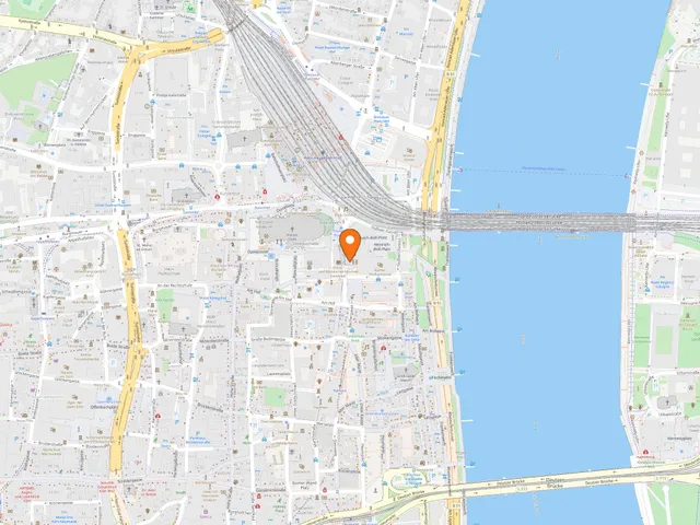
Map
Blue dots: other places nearby — tap to explore.
Address
Roncallipl.
50667 Köln
You might also like — related or nearby
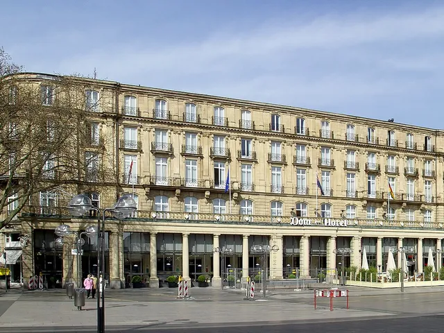
Dom-Hotel Cologne – a Grand Hotel by the Cathedral in Transition
since 1857Right beside Cologne Cathedral stands the Dom-Hotel, described as one of Europe's oldest grand hotels. It is currently closed and being rebuilt entirely behind its preserved façade, with reopening as the Althoff Dom Hotel Köln planned for 2027.
Comments
- Loading comments…
Sources & links
Auto-generated, last verified: 2026-06-27
How this page is made
This page draws on open sources — Wikipedia, Wikidata, official websites and the city’s open data. Every statement is checked against the sources linked here, and pages are refreshed regularly.
Spotted a mistake anyway? Tell us below — we read every submission.