Cologne Fortress Ring
Prussian double ring around Cologne, dismantled after 1919 – its grounds became the basis for Cologne's Green Belt from 1924.
Cologne preserves traces of four defensive systems: the Roman and medieval city walls, and the inner and outer Prussian rings. Both Prussian rings were built after the city came under Prussian administration in 1815.
Source: Wikipedia
At a Glance
- Type
- double Prussian fortress ring
- Location
- encircling Cologne on both banks of the Rhine
- Construction
- fortification ring built 1870–1914
- Structures
- 177 works in the outer ring after expansion
- Armament
- 450 guns, calibers from 3.7 to 21.0 cm
- Dismantling
- after 1919, under the Treaty of Versailles
- Today
- part of Cologne's Green Belt, linked by the Militärringstraße
The Militärringstraße, connecting the forts of the outer fortress ring, is Cologne's longest street at around 21 km.
Expansion of the Fortress
Between 1882 and 1891, a rampart enclosing the Neustadt was built on the left bank, incorporating several forts of the inner ring: Forts I, IX, X, and XI. From the 1880s, the Neustadt's ring road was laid out atop these bastions. In response to high-explosive shells, fortress builders turned to concrete, reinforced concrete, and steel armor, adding concreted shelters in front of the outer ring between 1905 and 1914. The fortress was designed to accommodate 50,000 soldiers and 6,000 horses in wartime, along with 120 fixed and 280 mobile searchlights.
From Fortress Belt to Green Belt
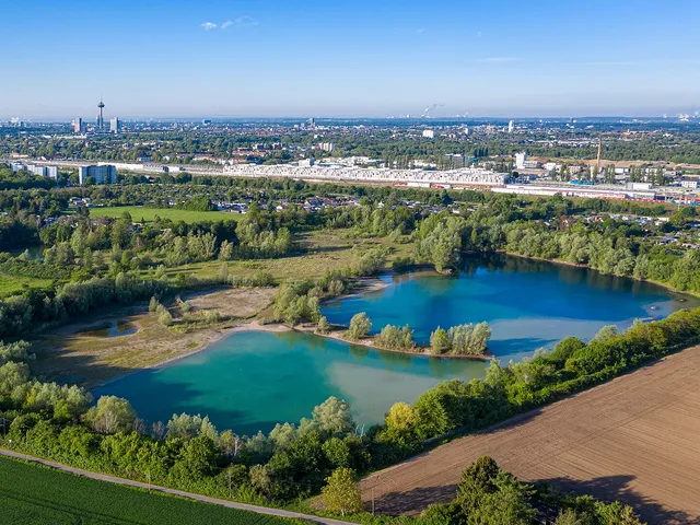
The Treaty of Versailles obliged Germany to remove all fortifications along both banks of the Rhine. That several structures survived regardless is largely due to the mayor at the time, Konrad Adenauer. Starting in 1924, the fortress zones were transformed into Cologne's Green Belt as part of job-creation programs. The forts' moats were mostly filled in, while the rear-facing structures remained freely accessible.
The Rings in Today's Cityscape
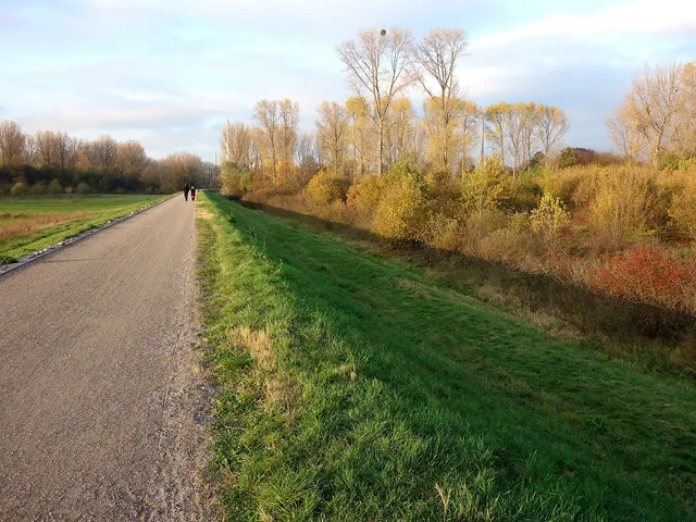
On the left bank, the Militärringstraße connects the forts of the outer ring; at roughly 21 km, it is Cologne's longest street, running mostly through park-like landscape. Along the inner ring's former zone, the street sequence Innere Kanalstraße, Universitätsstraße, and Weißhausstraße passes through abundant greenery. On the right bank, names like Gremberger Ring, Buchheimer Ring, and Stammheimer Ring recall the military ring; Fort XII and Zwischenwerk XV lie along the Stammheimer Ring section. The forts survive in varying condition: some are used by clubs and associations, others are bricked up and now serve as bat roosts.
Good to Know
On the landward side, no Prussian structures remain today—only medieval ones: the Bottmühle, Severinstor, Ulrepforte, Hahnentor, Eigelsteintor, and wall fragments at Sachsenring and Hansaring. Of the six numbered wartime powder magazines, such as those at Kartäuserwall, Gereonswall, and Thürmchenswall, no traces remain. Schools were later built on several of their sites, including the Humboldt-Gymnasium and the Dreikönigsgymnasium, whose building has housed the Cologne University of Music since 1977. Another powder magazine was built in 1828/29 in Deutz on Schaurtestraße.
Timeline
- 1815Start of Prussian administration of Cologne
- 1816–1854Expansion and rebuilding of the medieval fortifications
- 1870–1914Expansion of the fortress ring under Prussia
- 1882–1891Construction of the left-bank rampart around the Neustadt
- 1905–1914Construction of concrete shelters in front of the outer fortress ring
- nach 1919Demolition of the fortifications per the Treaty of Versailles
- 1924Start of transforming the fortress zones into Cologne's Green Belt
- 1925Approximate end of the demolition works
Gallery
Map
Blue dots: other places nearby — tap to explore.
You might also like — related or nearby
Comments
- Loading comments…
Sources & links
Auto-generated, last verified: 2026-09-26
How this page is made
This page draws on open sources — Wikipedia, Wikidata, official websites and the city’s open data. Every statement is checked against the sources linked here, and pages are refreshed regularly.
Spotted a mistake anyway? Tell us below — we read every submission.