Mülheimer Häuschen
Former excursion inn with a beer garden by the Mülheim pontoon bridge in Cologne-Riehl: part of Cologne's “Golden Corner” until its demolition in 1929.
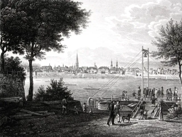
Long before a bridge spanned the Rhine here, this spot was a transport hub outside Cologne's city walls, where ferries crossed between Mülheim and the left bank.
Source: Wikipedia
At a Glance
- Type
- former restaurant and excursion inn with a beer garden
- Location
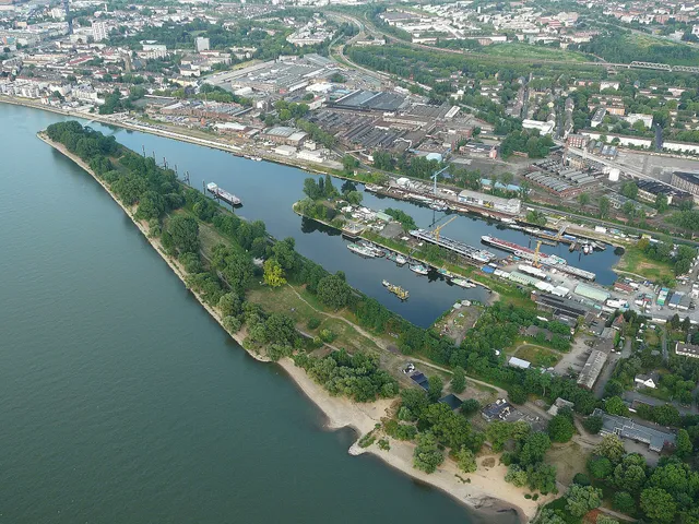
- on the left bank, right on the Rhine next to the old Mülheim pontoon bridge, Cologne-Riehl (Nippes district)
- Today
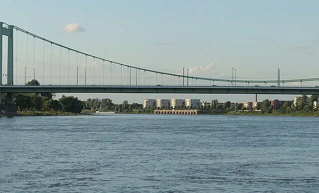
- the area of the western approach to the Mülheim Bridge, An der Schanz, Kuhweg
- History
- already standing as a farmstead before the First Coalition War
- Buildings
- two structures according to cadastral maps from around 1900
- Demolished
- 1929
- Last known owner
- Clemens Glasmacher
On 9 November 1817, Wilhelm Coenen of Krefeld was murdered at the Mülheimer Häuschen; the investigation against the Cologne merchant Peter Anton Fonk, who rented a cellar there to store brandy, and his acquittal in 1822 caused considerable stir.
From Ferry Landing to Farmstead
As early as 1200, the Count of Berg held the ferry rights at Mülheim. From 1268, Altenberg Abbey operated them with a rowing boat. From 1700, the House of Berg leased the ferry service for 400 Reichstaler a year, and a current-driven reaction ferry shuttled between Mülheim and the Mülheimer Häuschen. It is not known when the farmstead was established, who owned it or what it was used for; a towing station on a pack-horse trail is suspected. A map from 1806 lists it as “Hausgen”.
Between the French and the Prussians
On 14 November 1813, Prussian troops landed at the Mülheimer Häuschen to drive the French out of Riehl. The French soldiers stationed there fled without a fight. From 1815, the Mülheimer Häuschen belonged to the new rural district of Cologne as one of six localities in the Longerich mayoralty. In 1846, one house and 15 residents were recorded.
A Murder Case That Made Headlines
On 9 November 1817, Wilhelm Coenen of Krefeld was murdered at the Mülheimer Häuschen. The investigation targeted the Cologne merchant Peter Anton Fonk, who had rented a cellar there for storing brandy. The inquiry and his acquittal in 1822 caused considerable public attention.
Excursion Inn on the “Golden Corner”
Situated between the ferry landing and the Mülheimer Heide parade ground, the house developed into an excursion inn after the Franco-Prussian War of 1870, partly because of the public's growing enthusiasm for the military. The pontoon bridge of 1885 and a depot with a horse stable for the Cologne tramway company, built in 1889, boosted this development; the Slabystraße stop on lines 13 and 18 now lies on that site. In 1902, the Rheinlust, Cologne's first open-air swimming pool, opened next door.
Flooding and Demolition
Riehl was regularly flooded whenever the Rhine rose. After the record water level of 10.26 m on 1 January 1926, Cologne's city council decided to create a flood plain to relieve Riehl and Mülheim. As part of this, a dike was built along the Niederländer Ufer in conjunction with the construction of the Mülheim Bridge. Between 1927 and 1929, the swimming pool was relocated and the Mülheimer Häuschen was demolished.
Timeline
- um 1200Count of Berg holds the ferry rights at Mülheim
- 1268Altenberg Abbey takes over the ferry rights from Count Adolf V of Berg
- 1700Reaction ferry operated under lease from House of Berg for 400 Reichstaler a year
- 1813Prussian troops meet stationed French soldiers at the Mülheimer Häuschen
- 1817Murder of Wilhelm Coenen at the Mülheimer Häuschen
- 1888Riehl with the Mülheimer Häuschen is incorporated into Cologne
- 1902Cologne's first open-air pool Rheinlust opens next door
- 1929Mülheimer Häuschen demolished during bridge construction
Map
Blue dots: other places nearby — tap to explore.
You might also like — related or nearby
Comments
- Loading comments…
Sources & links
Auto-generated, last verified: 2026-11-08
How this page is made
This page draws on open sources — Wikipedia, Wikidata, official websites and the city’s open data — plus basic place data and photos from Google Maps where a place is listed there. Every statement is checked against the sources linked here, and pages are refreshed regularly.
Spotted a mistake anyway? Tell us below — we read every submission.