City borough
Ehrenfeld
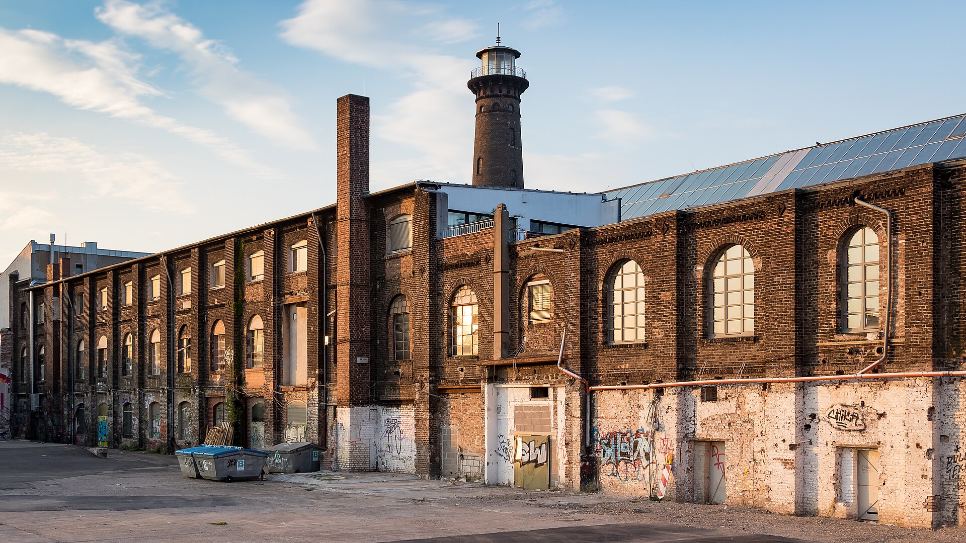
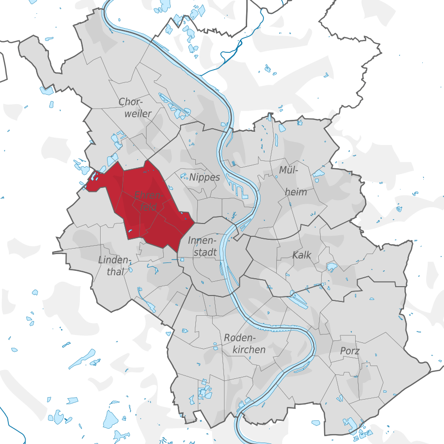
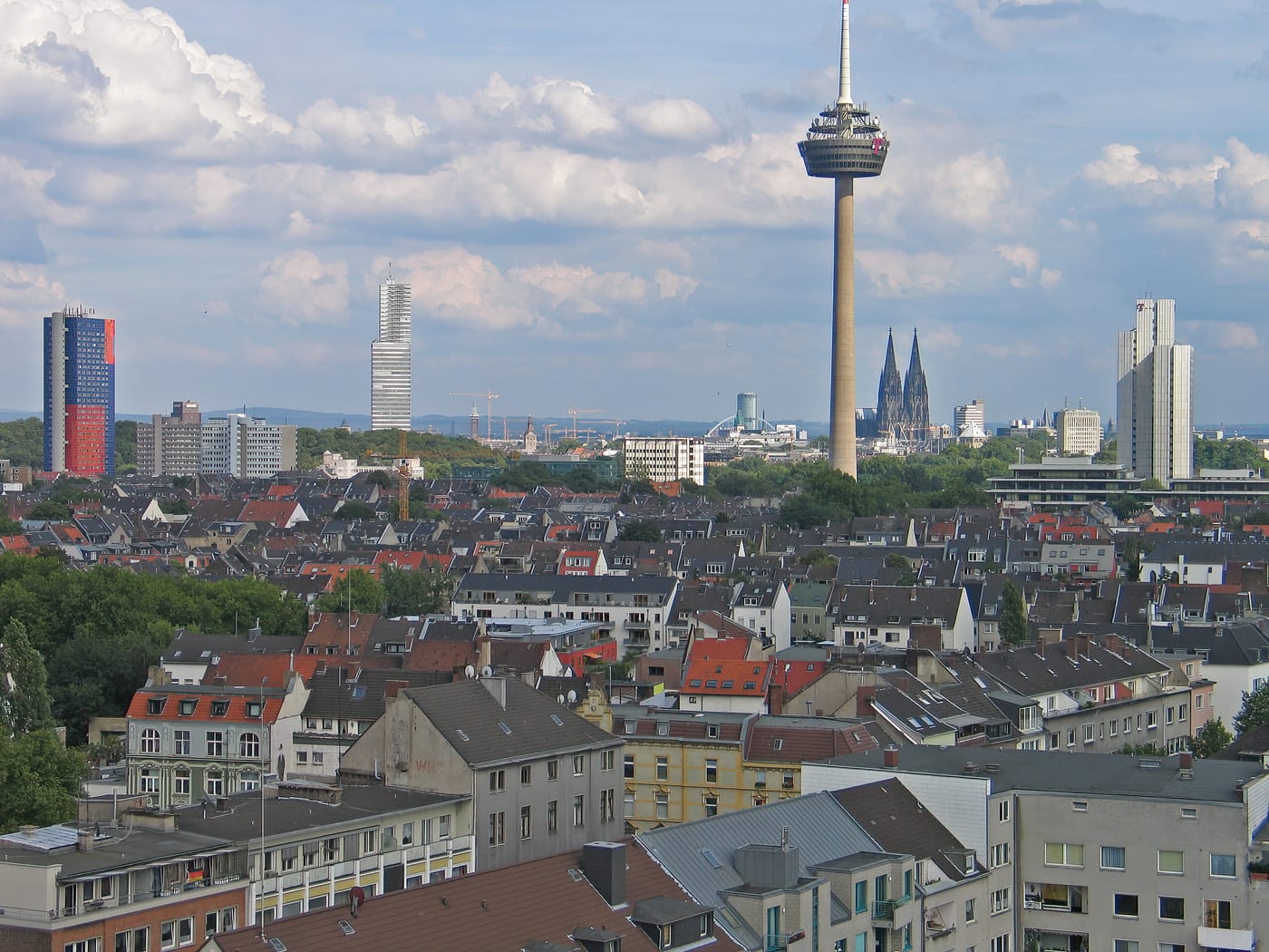
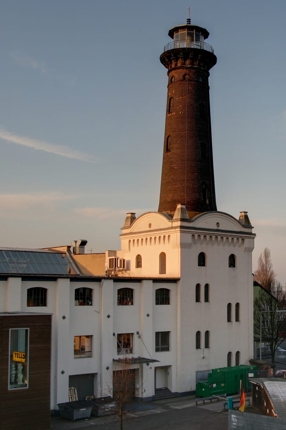
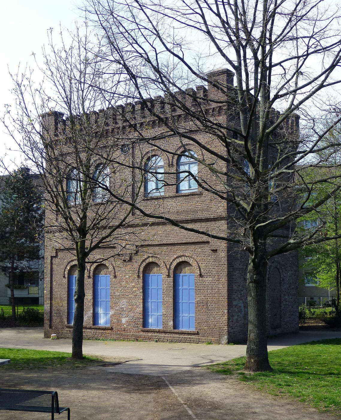
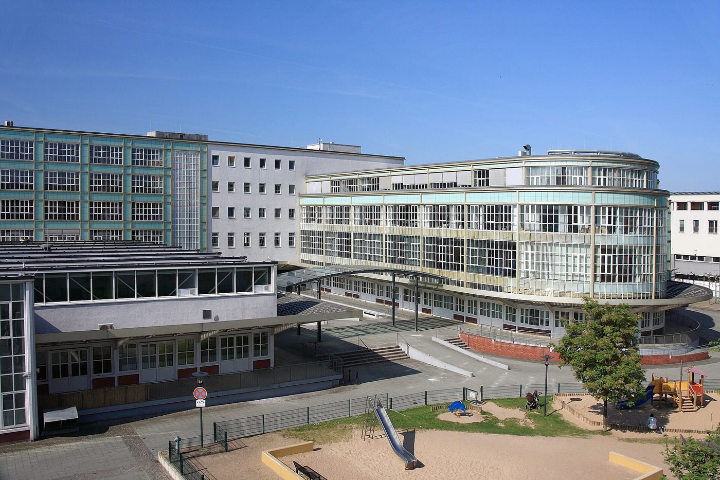
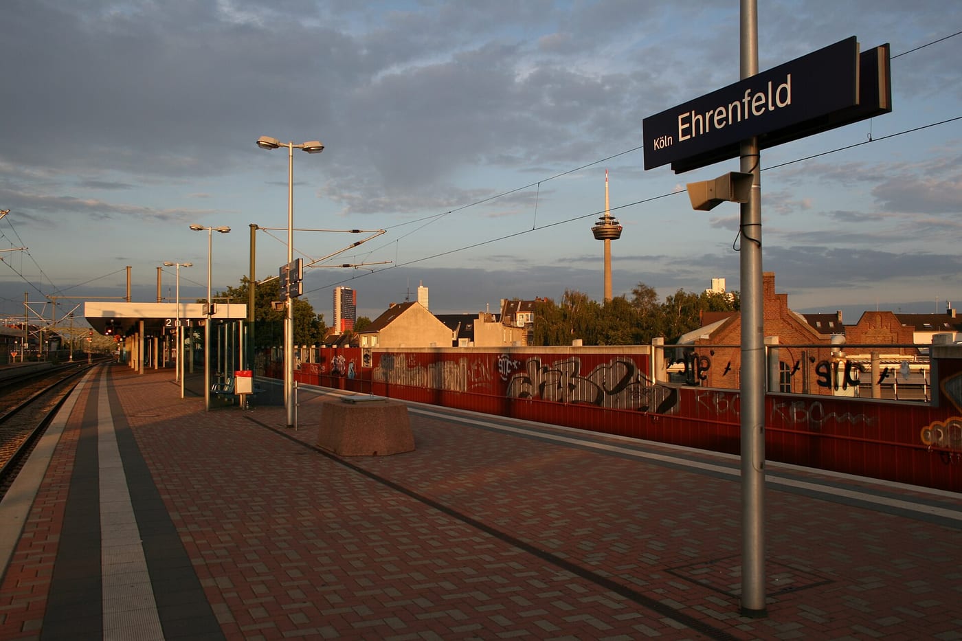
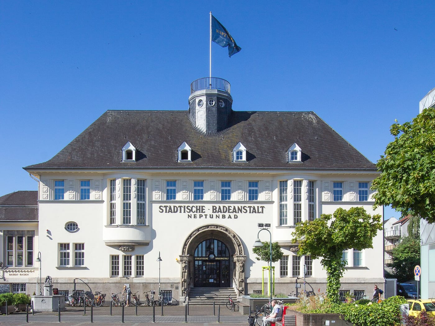
Ehrenfeld lies in the west of Cologne and also lends its name to city district 4; the quarter has belonged to the city since 1888. Once shaped by workers and industry, it now blends buildings from the Gründerzeit era, industrial monuments – most notably the Helios tower on Heliosstraße – and apartment houses from the 1950s and 1960s. Its shopping streets are strongly characterised by Turkish-run businesses as well as enterprises whose owners come from the Near and Far East and from Africa. With theatres, restaurants and trendy bars, the district has a lively cultural scene and is growing ever more popular as a place to live, a trend reflected in rising rents.
Source: Wikipedia
Getting around
Source: Wikipedia
Compare with other boroughs
Tick areas — their values appear as coloured markers on the bars below.
Age structure
Source: Cologne neighbourhood monitoring
Population & social
Source: Cologne neighbourhood monitoring
Households
Source: Cologne neighbourhood monitoring
Land use
Source: Cologne neighbourhood monitoring
Political leaning
NRW state election 2022, party-list votes — bars relative to the strongest result, percentages beside.
Tick areas — their values appear as coloured markers on the bars.
Per 10,000 inhabitants
Counts in the area, relative to population — fairly comparable.
Tick areas — their values appear as coloured markers on the bars.
Family & everyday
Health & mobility
Sources: City of Cologne open data & geoportal (schools, daycare, playgrounds, transit, hospitals, libraries) and OpenStreetMap contributors (ODbL; pharmacies, supermarkets, markets, recycling, fountains, EV charging)
What's in this area
Counted within the boundary from open data — City of Cologne (geoportal/open data) and OpenStreetMap contributors (ODbL). Every number links to its source.
Districts in this borough
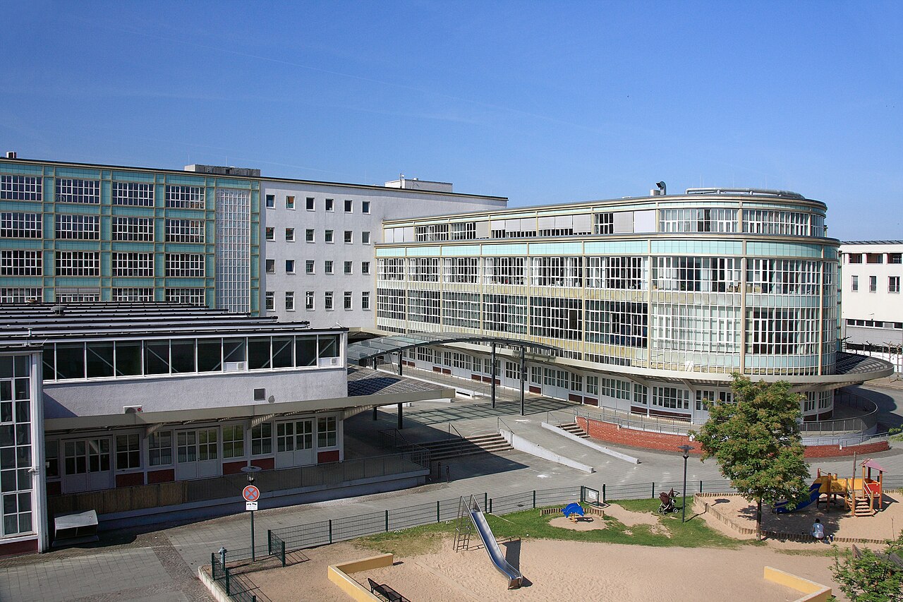
Ehrenfeld lies in the west of Cologne and, together with the surrounding city district 4, forms a quarter that has belonged to Cologne since 1888. Once a working-class and industrial area, it now …
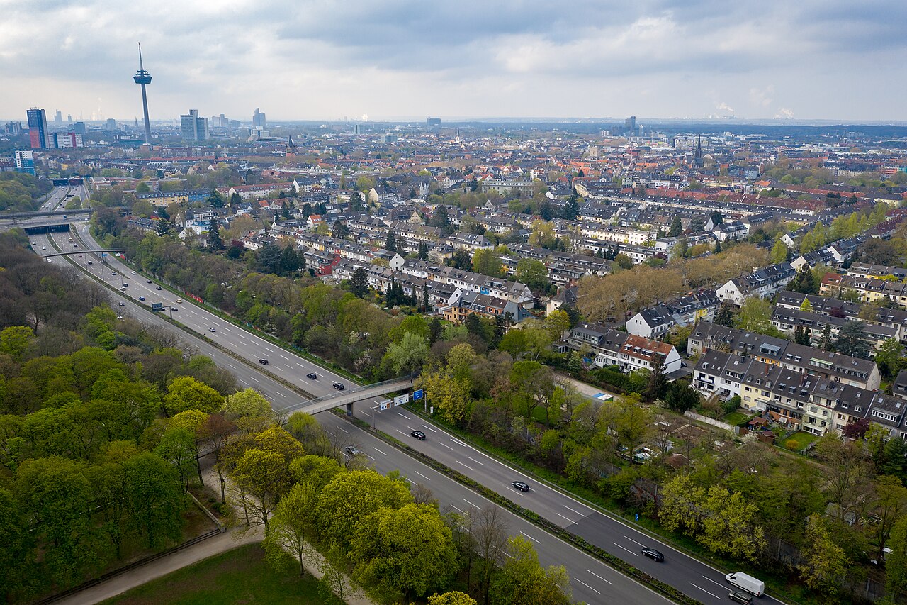
Neuehrenfeld is a district within Cologne's Borough 4 (Ehrenfeld) and thus lies in the western part of the city. It is one of the neighbourhoods making up this borough, part of the nine boroughs into …
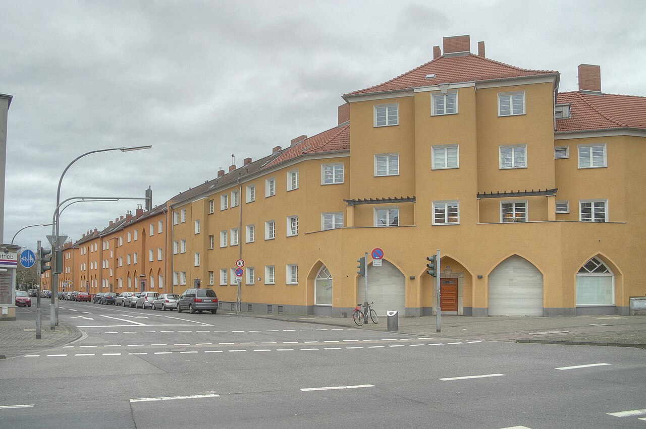
Bickendorf sits in the northwest of Cologne and belongs to the Ehrenfeld borough. Its name probably derives from the Frankish word "beck," which once meant mouth, utterance or a place of justice. The …
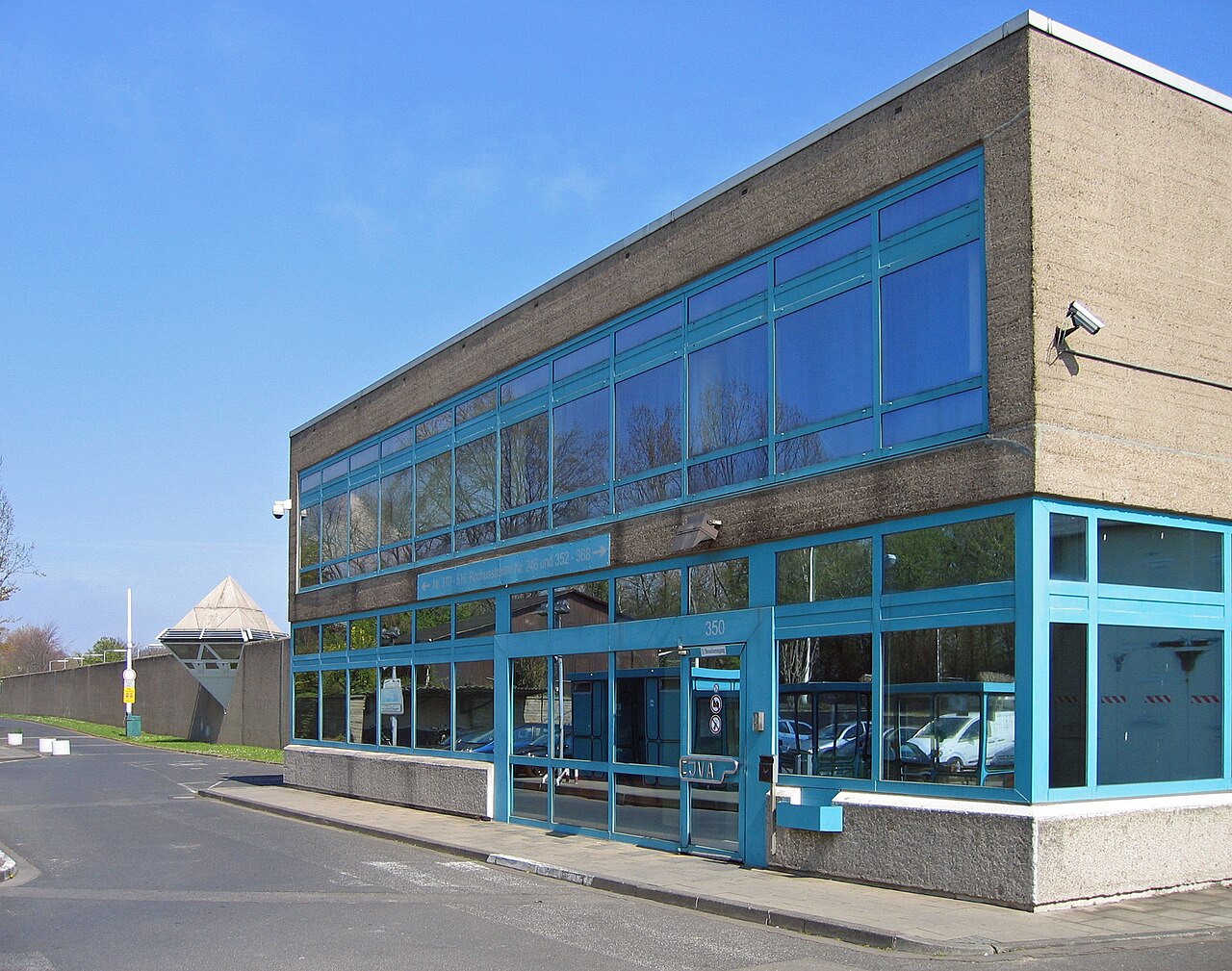
Ossendorf is a district in the west of Cologne, located on the left bank of the Rhine and belonging to the Ehrenfeld borough.
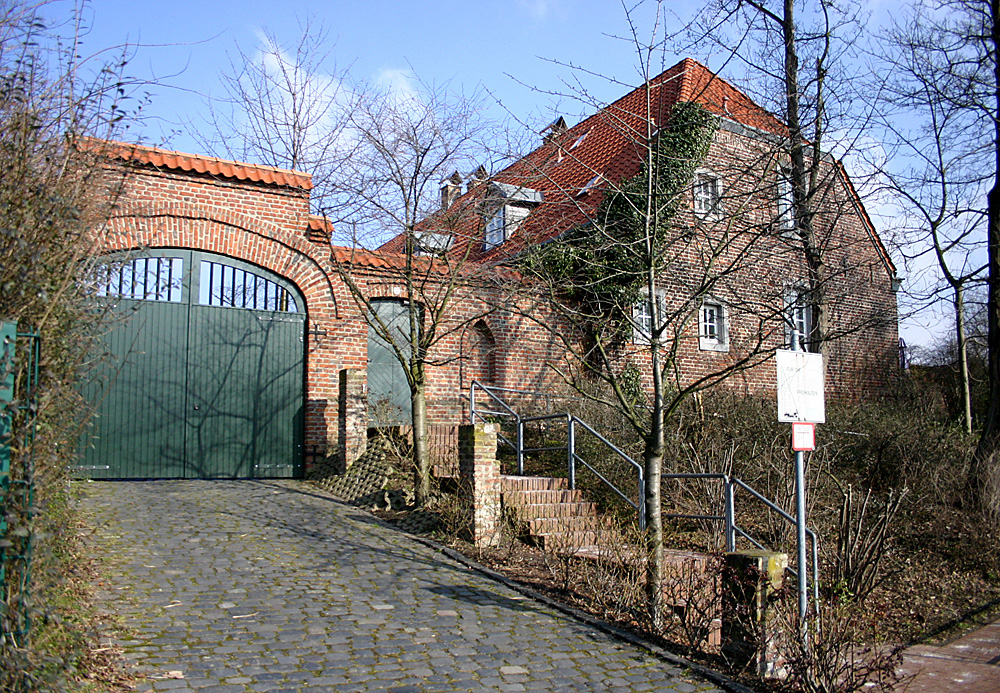
Bocklemünd/Mengenich sits on the north-western edge of Cologne and belongs to the Ehrenfeld borough. The district grew out of the two formerly separate villages of Bocklemünd and Mengenich, which …
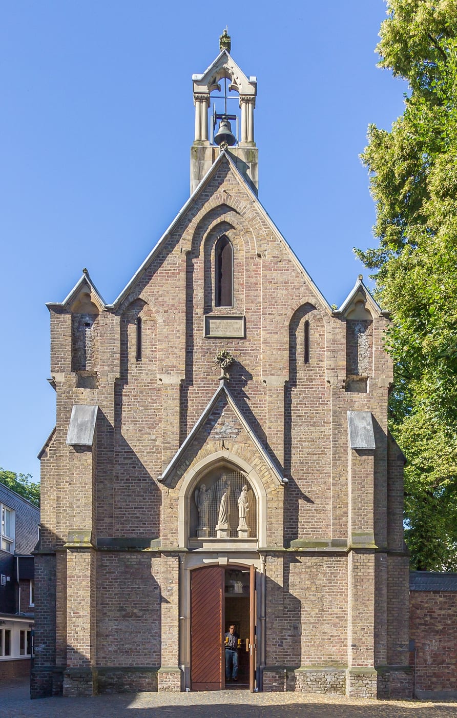
The other boroughs
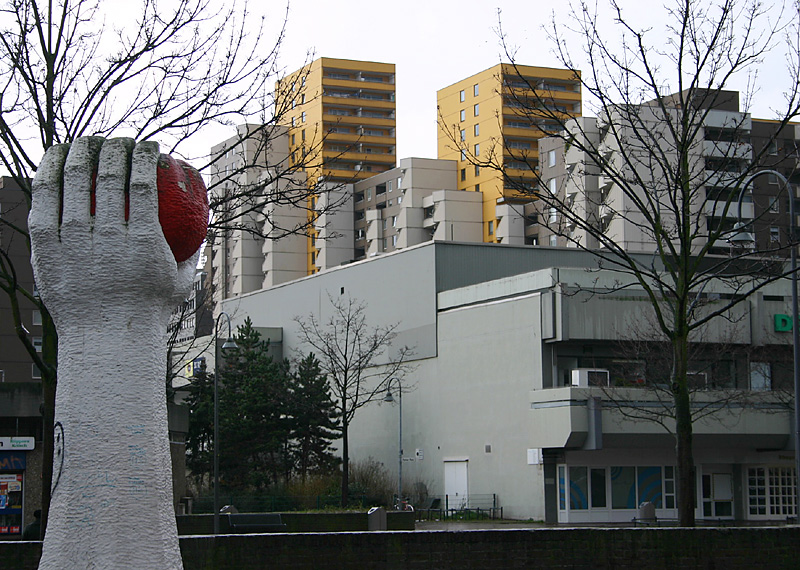
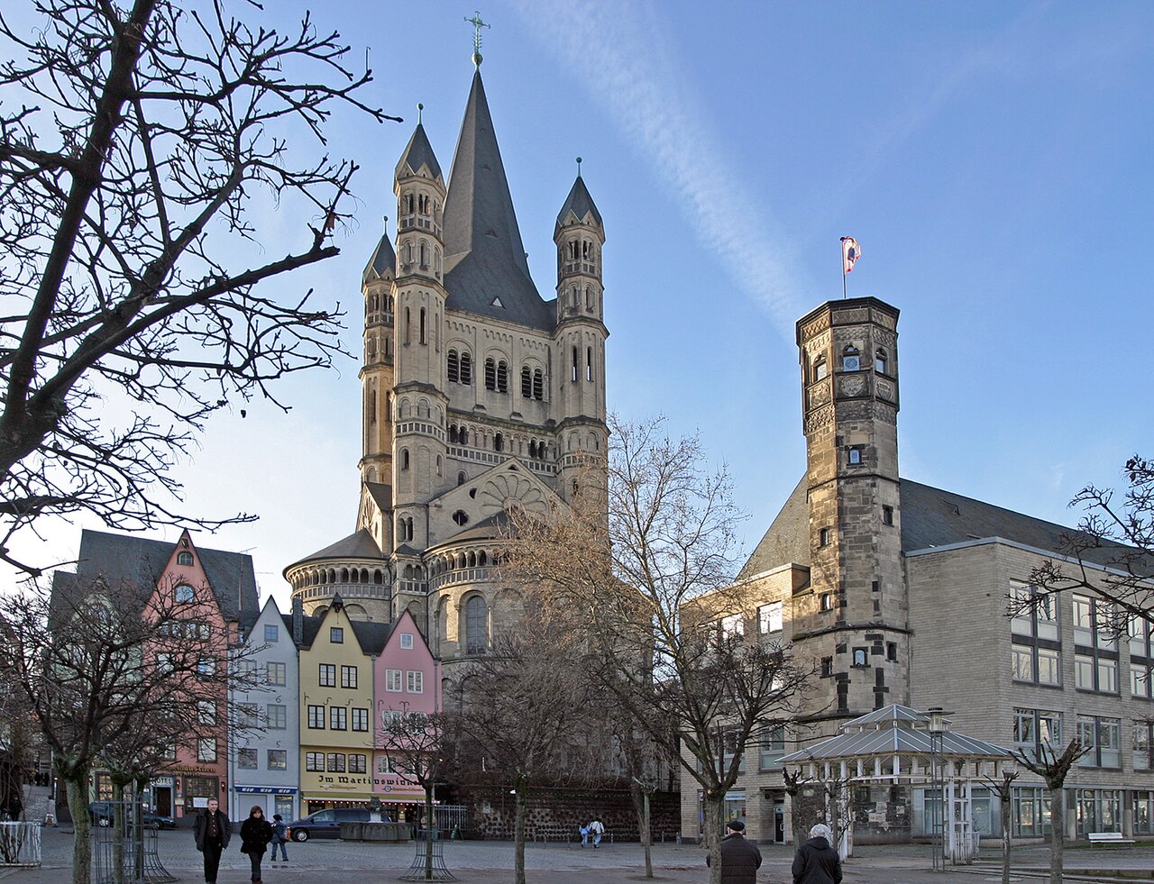
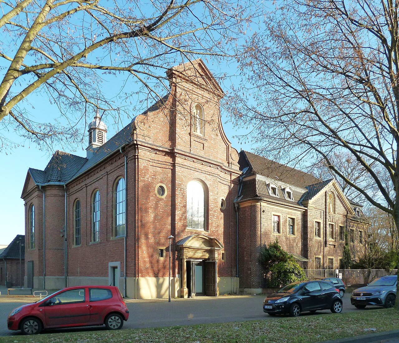
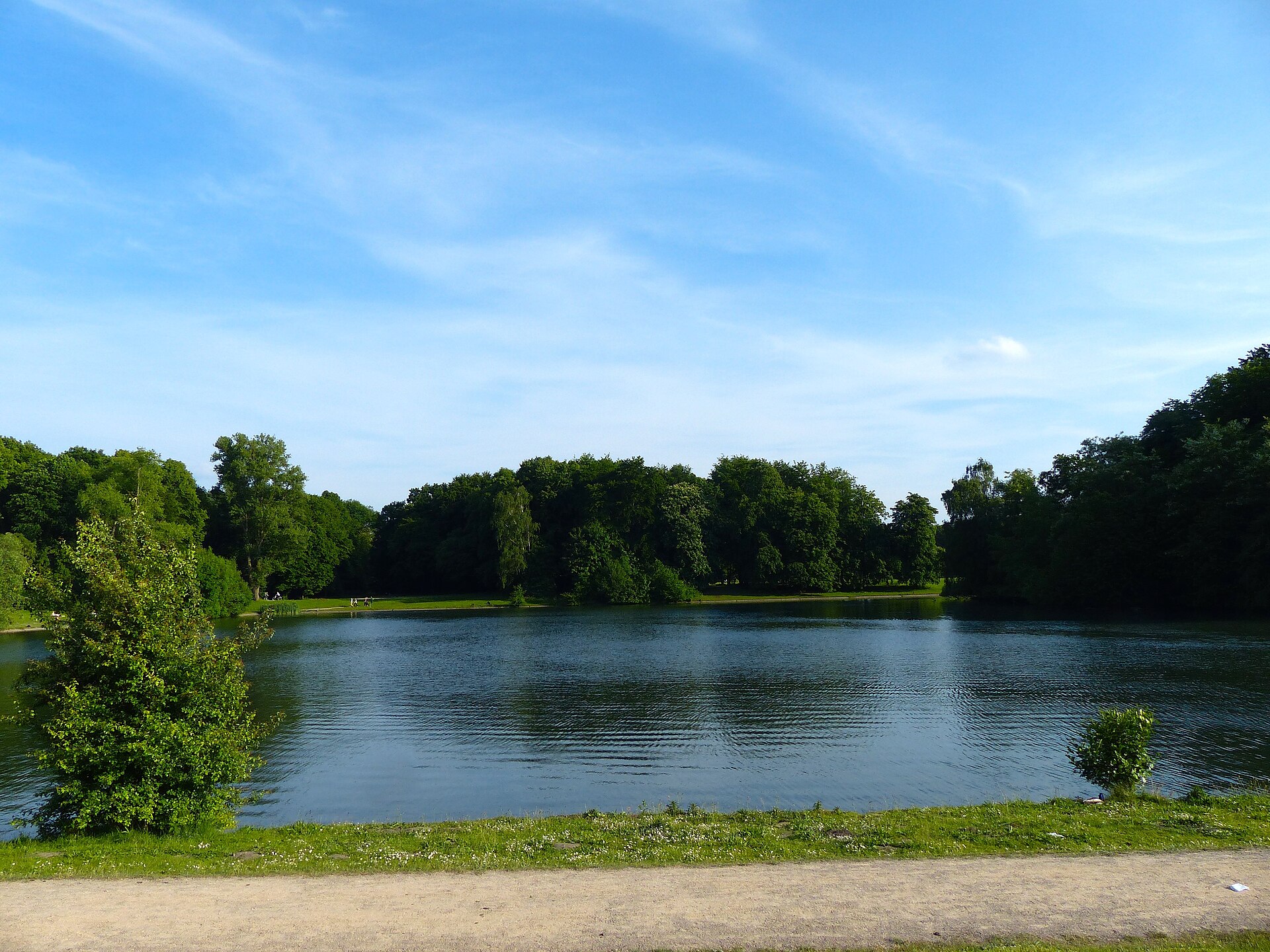
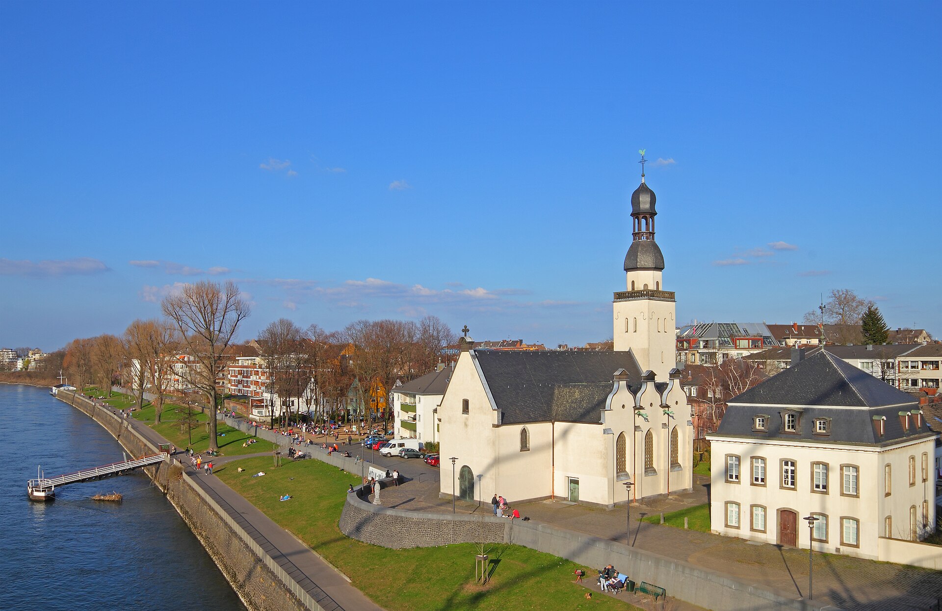
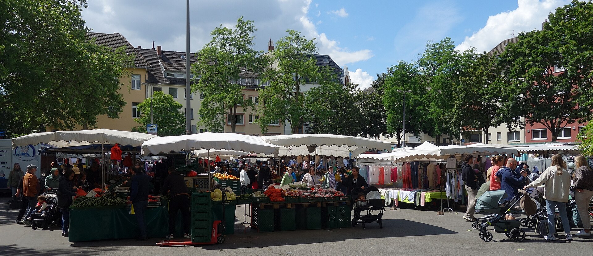
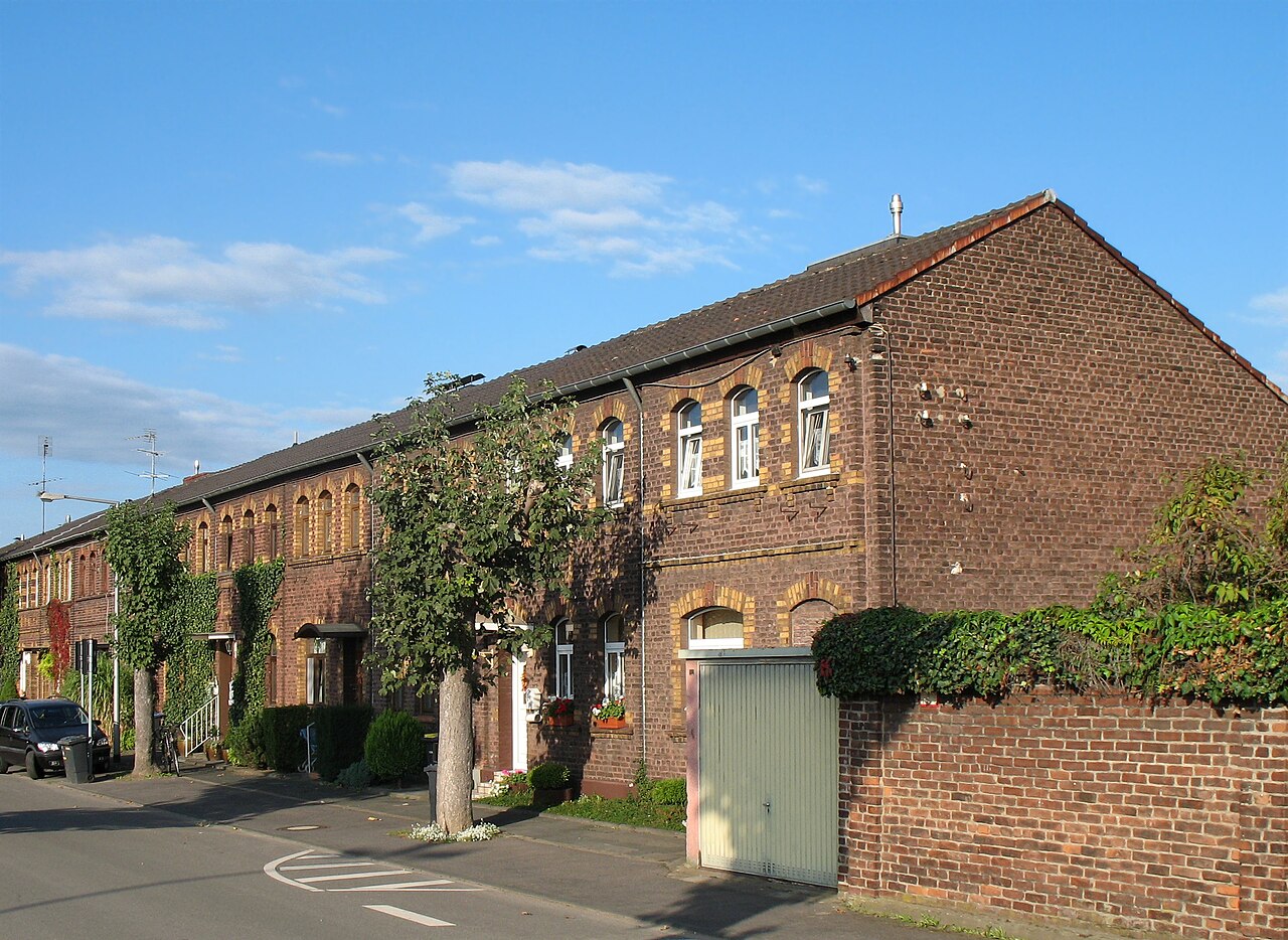
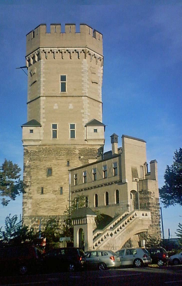
Sources: Cologne neighbourhood monitoring, Statistical data catalogue, City of Cologne geoportal and OpenStreetMap contributors (ODbL) (as of 2024)
Comments
- Loading comments…
Sources & links
- geoportal.stadt-koeln.de (retrieved 2026-06-30)
- Wikipedia (retrieved 2026-06-30)
- Wikipedia (retrieved 2026-06-30)
- openstreetmap.org
How this page is made
This page draws on open sources — Wikipedia, Wikidata, official websites and the city’s open data. Every statement is checked against the sources linked here, and pages are refreshed regularly.
Spotted a mistake anyway? Tell us below — we read every submission.