City borough
Chorweiler
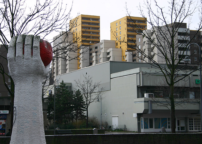
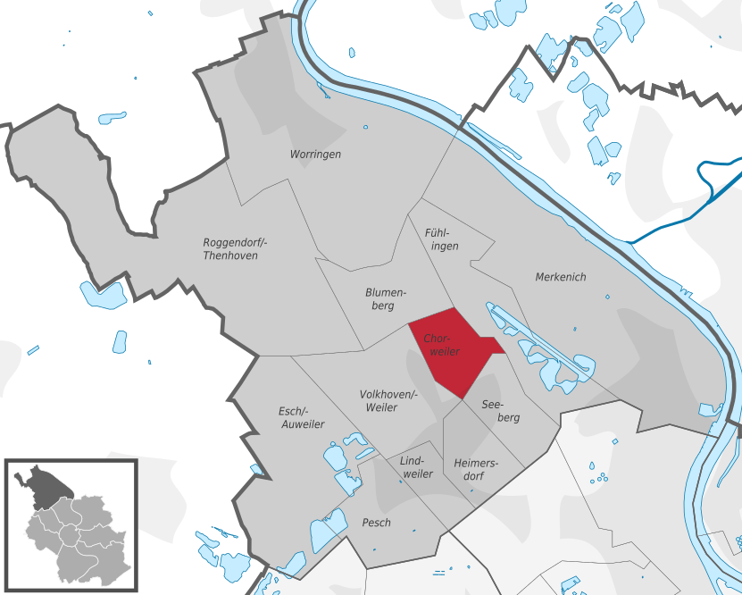
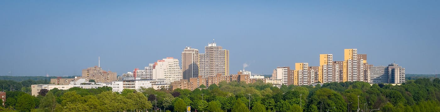
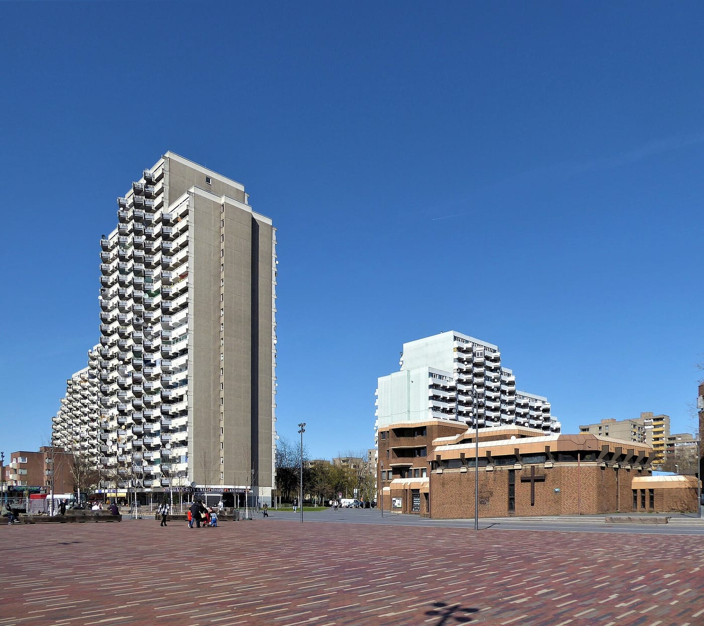
Chorweiler is a district in the north of Cologne, located roughly 10 kilometres from the city centre. It lends its name to the surrounding borough of the same name, to which it belongs.
Source: Wikipedia
Getting around
Source: Wikipedia
Compare with other boroughs
Tick areas — their values appear as coloured markers on the bars below.
Age structure
Source: Cologne neighbourhood monitoring
Population & social
Source: Cologne neighbourhood monitoring
Households
Source: Cologne neighbourhood monitoring
Land use
Source: Cologne neighbourhood monitoring
Political leaning
NRW state election 2022, party-list votes — bars relative to the strongest result, percentages beside.
Tick areas — their values appear as coloured markers on the bars.
Per 10,000 inhabitants
Counts in the area, relative to population — fairly comparable.
Tick areas — their values appear as coloured markers on the bars.
Family & everyday
Health & mobility
Sources: City of Cologne open data & geoportal (schools, daycare, playgrounds, transit, hospitals, libraries) and OpenStreetMap contributors (ODbL; pharmacies, supermarkets, markets, recycling, fountains, EV charging)
What's in this area
Counted within the boundary from open data — City of Cologne (geoportal/open data) and OpenStreetMap contributors (ODbL). Every number links to its source.
Districts in this borough
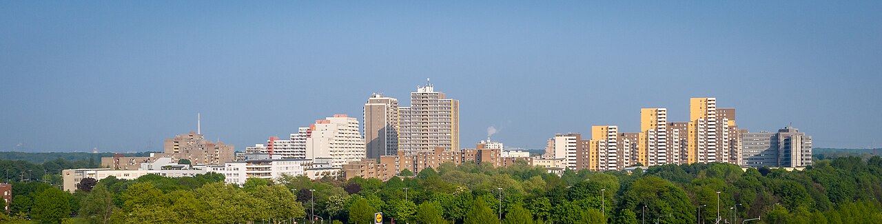
Chorweiler is a district in the north of Cologne, located about ten kilometres from the city centre. It also lends its name to the surrounding borough of Chorweiler, to which it belongs.
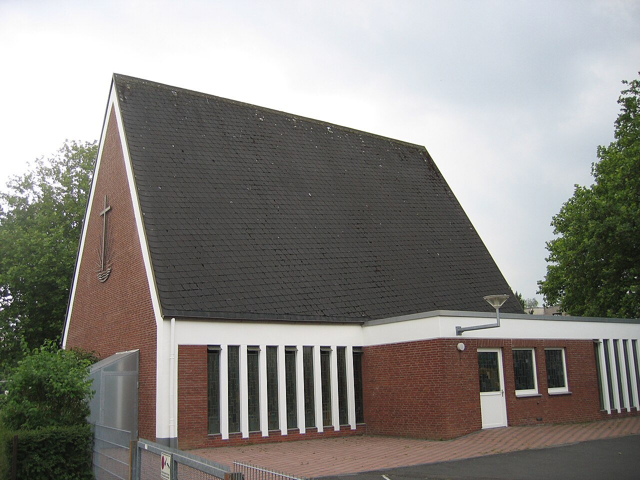
Seeberg is a district in the north of Cologne, situated on the left bank of the Rhine and belonging to the borough of Chorweiler.
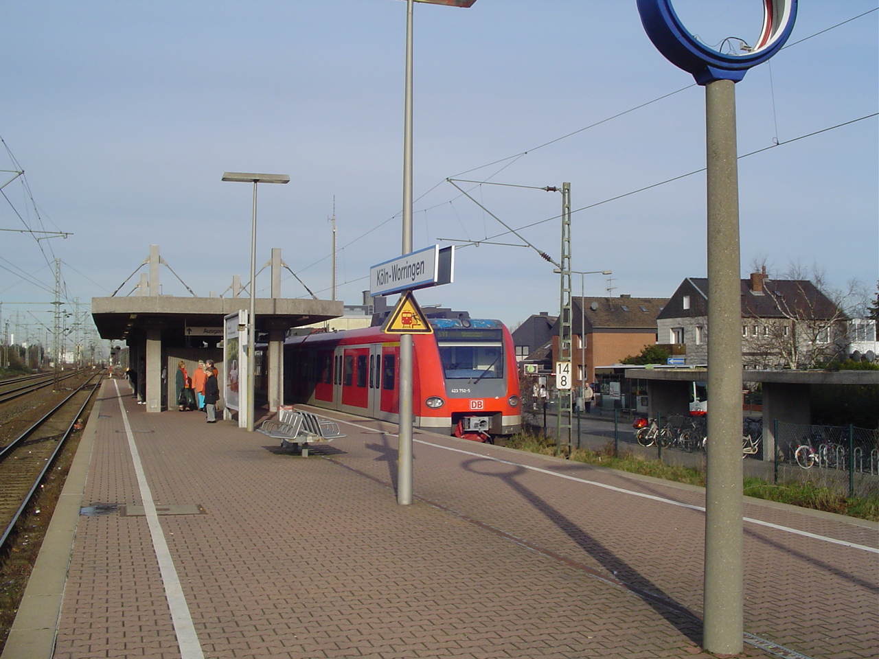
Worringen is the northernmost district of Cologne and belongs to the borough of Chorweiler.
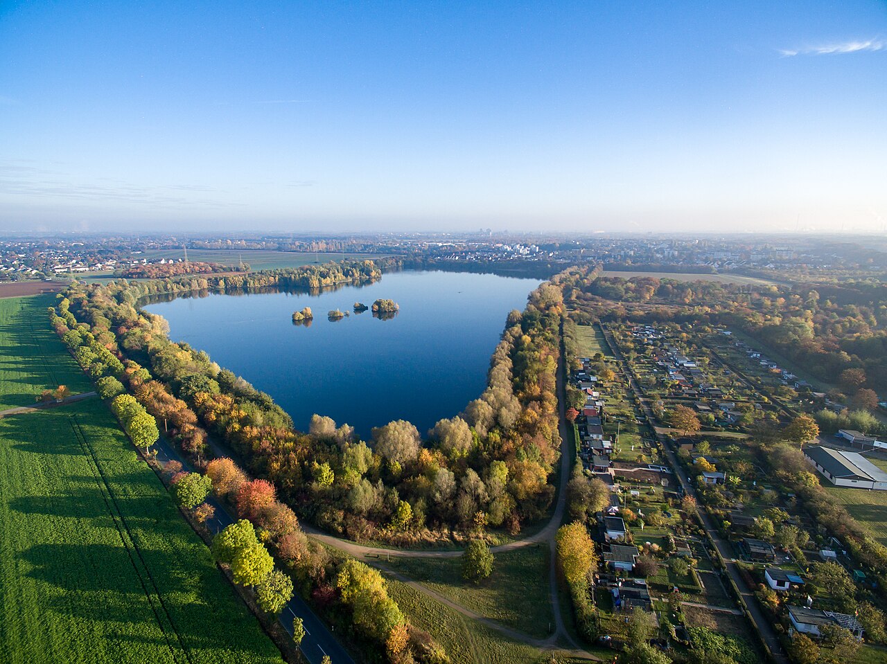
Pesch is a district in the northwest of Cologne, located on the left bank of the Rhine within the borough of Chorweiler. It forms part of the city's left-Rhine area.
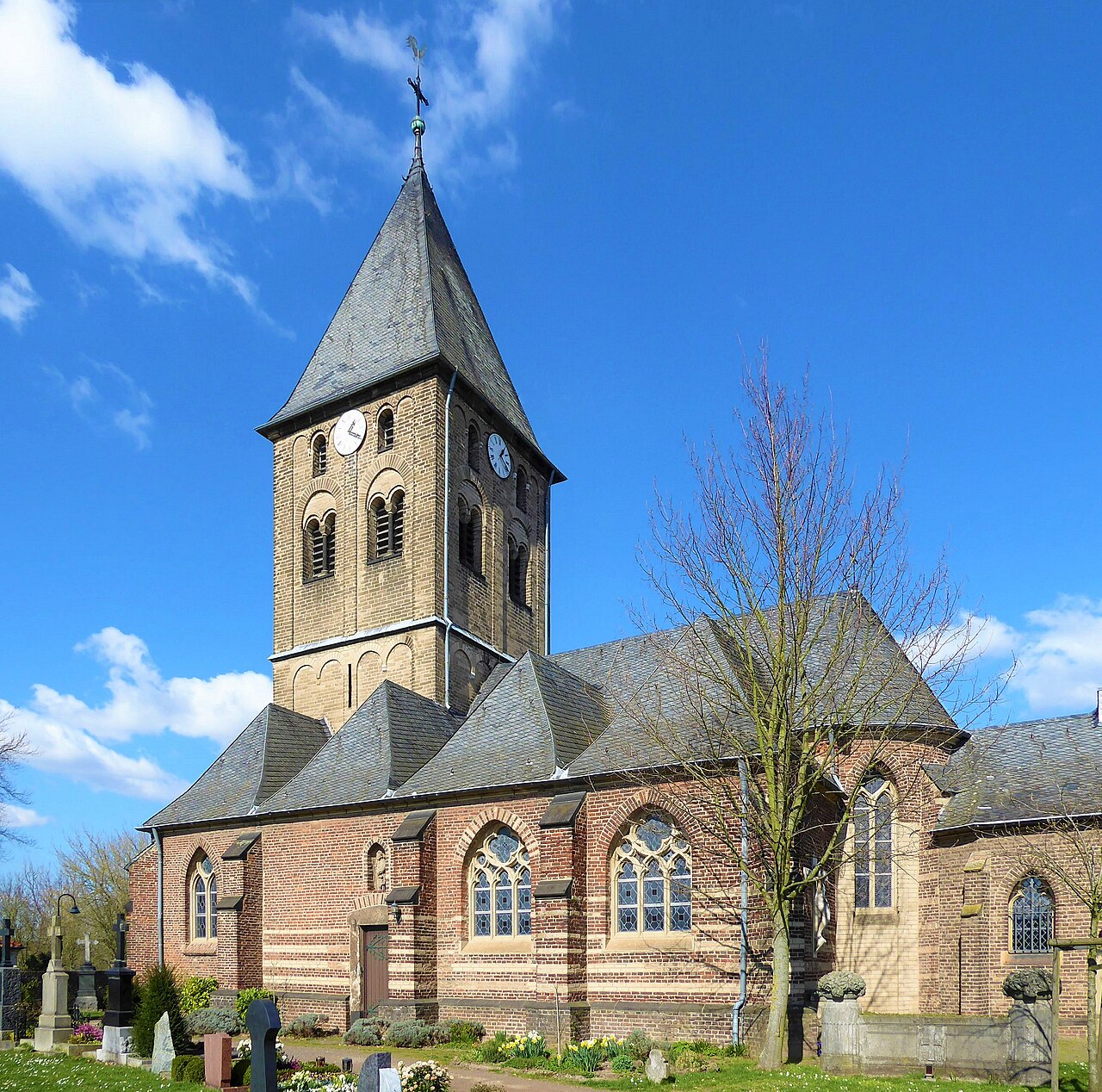
Esch and Auweiler are two districts in the north of Cologne. Until they were incorporated into the city on 1 January 1975, they belonged to the municipality of Sinnersdorf.
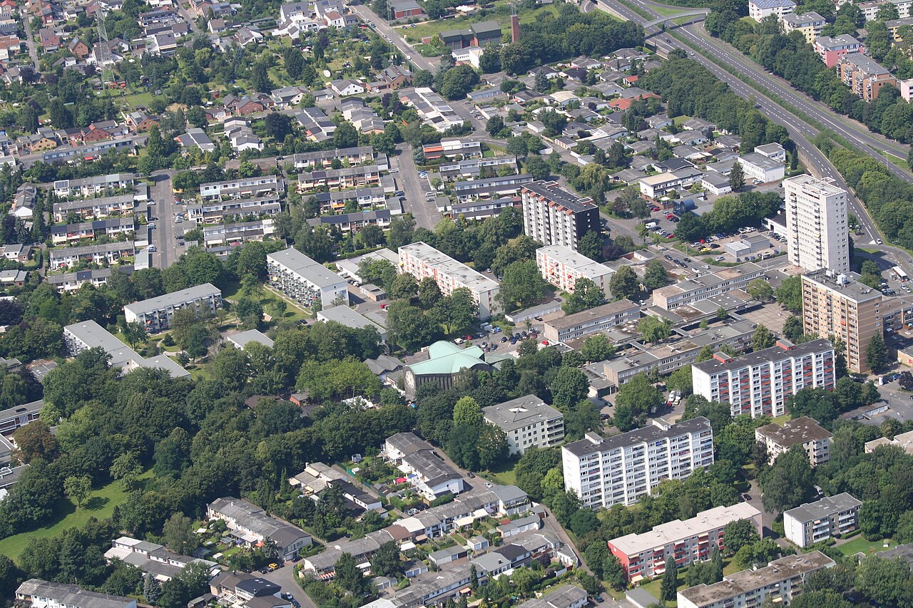
Heimersdorf is a district in the north of Cologne and forms part of the Chorweiler borough. It sits roughly nine kilometres north of the city centre.
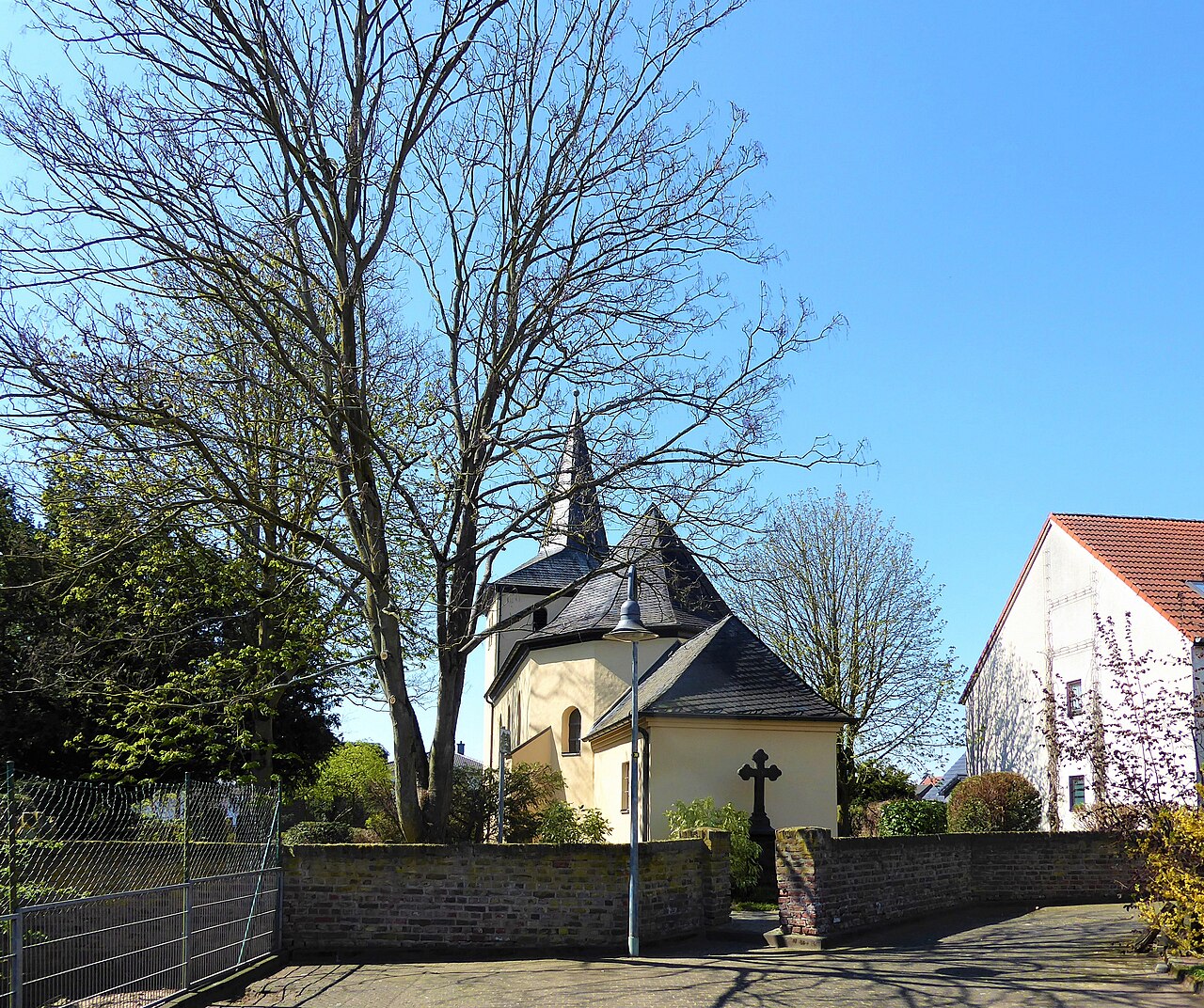
Volkhoven/Weiler is a district in the north of Cologne, situated on the left bank of the Rhine.
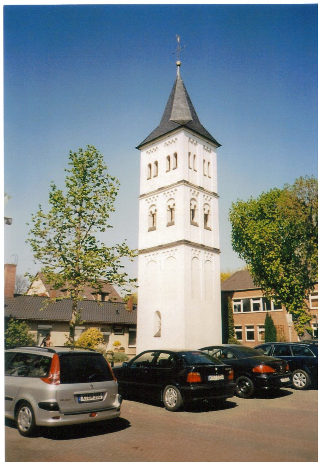
Merkenich is a district in the north of Cologne on the left bank of the Rhine and belongs to the borough of Chorweiler.
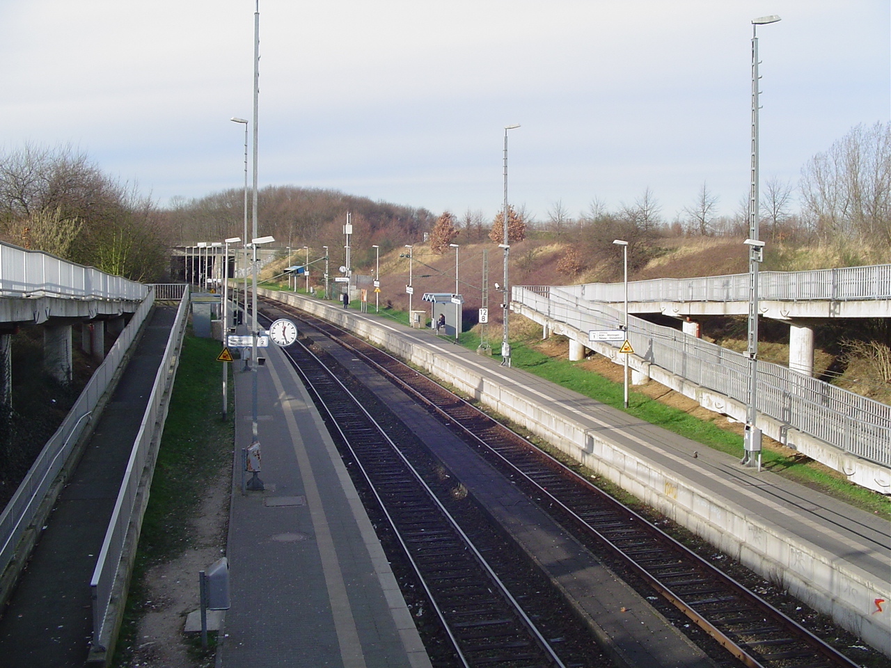
Blumenberg is a district in the northern part of Cologne on the left bank of the Rhine and belongs to the Chorweiler borough.
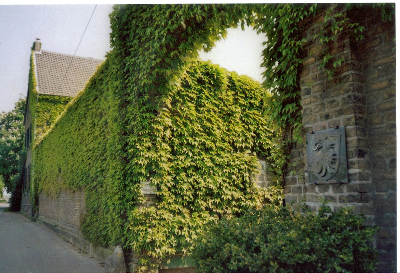
Roggendorf/Thenhoven sits in the north of Cologne on the left bank of the Rhine and belongs to the Chorweiler district. By area it is the city's second-largest district after Eil, yet in terms of …
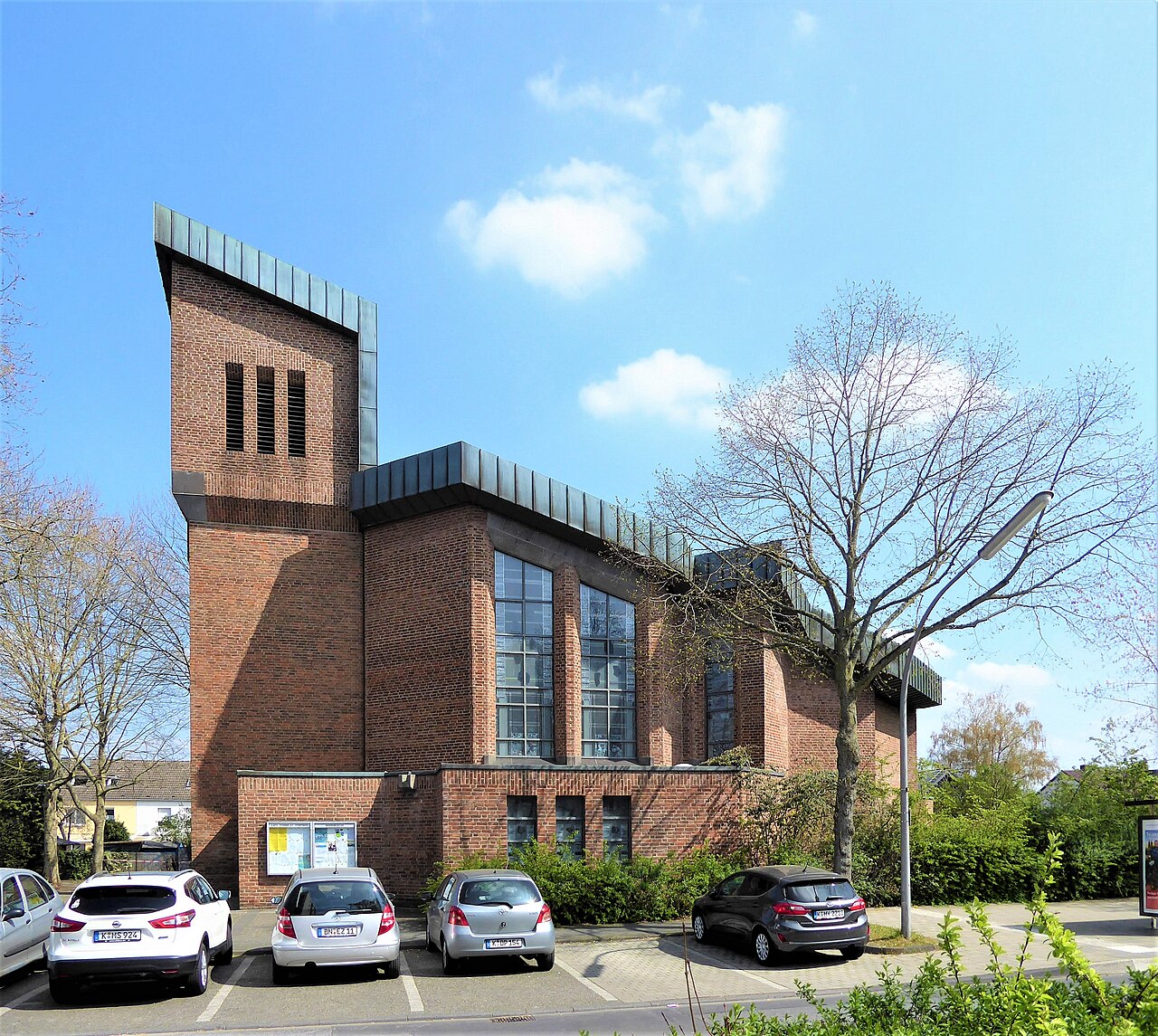
Lindweiler is a district in the northern part of Cologne, situated on the west side of the Rhine. It belongs to the city's sixth borough, known as Chorweiler.
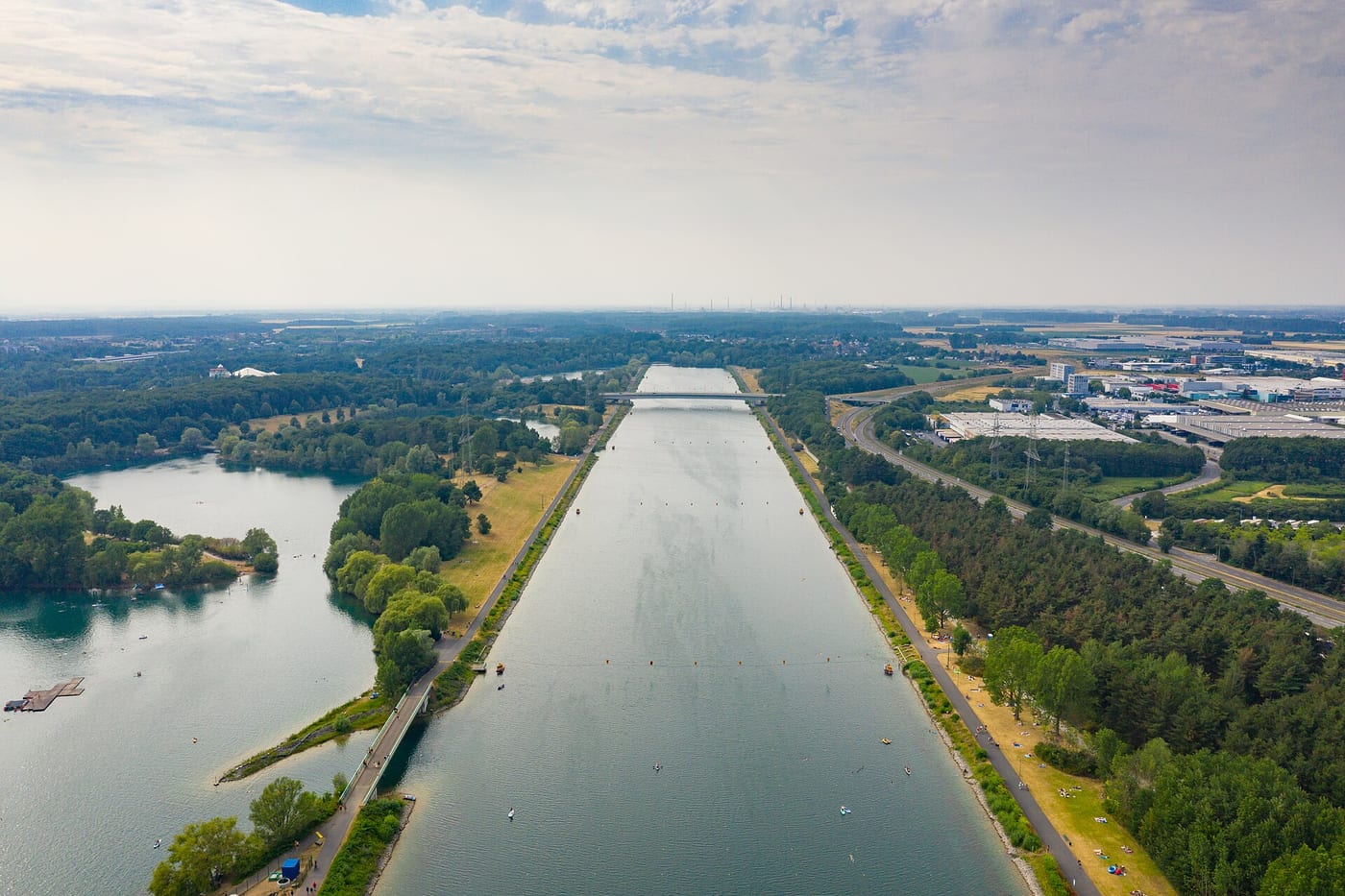
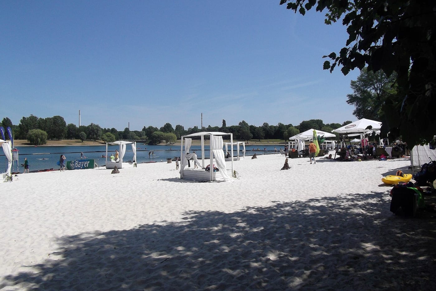
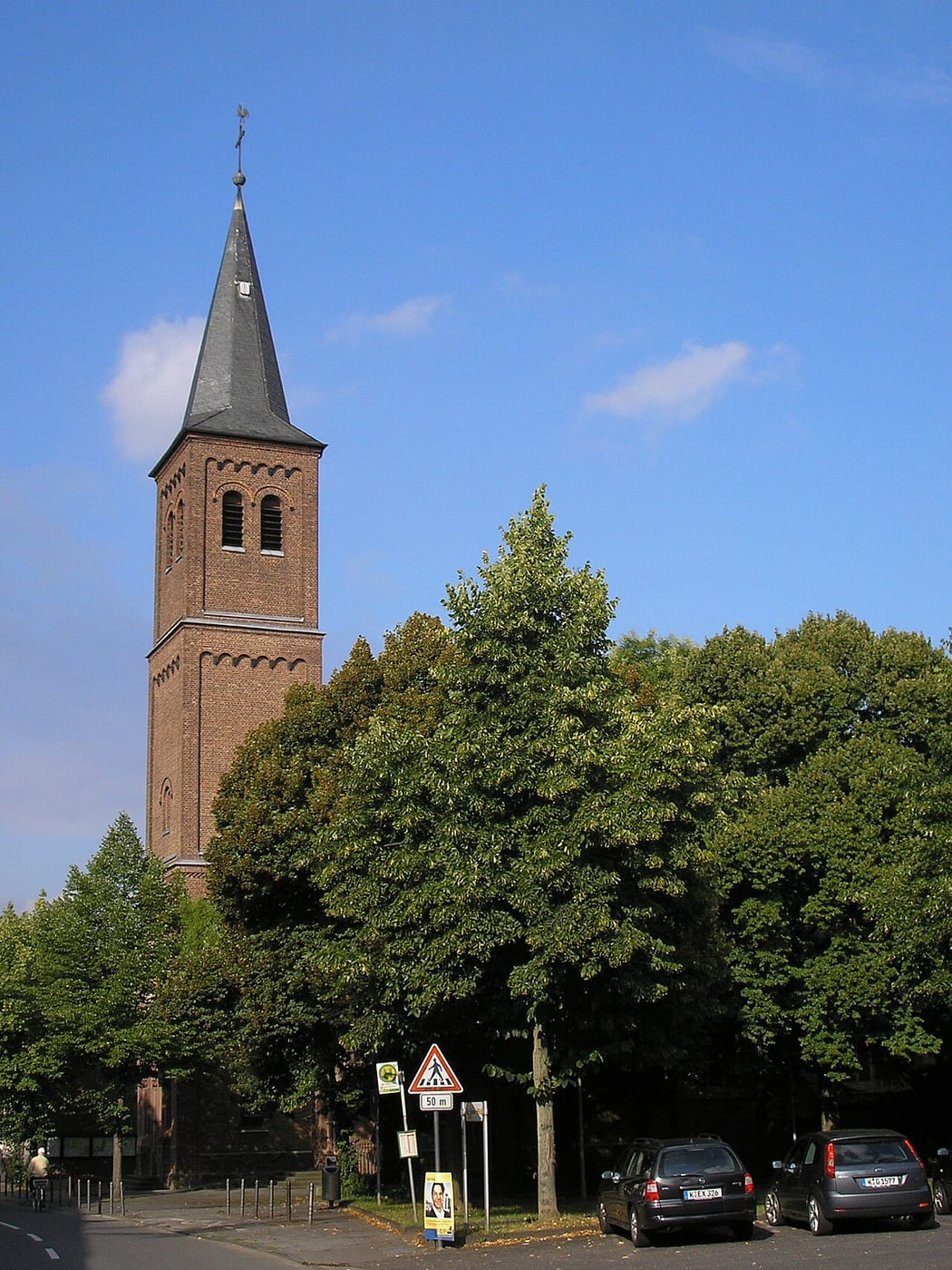
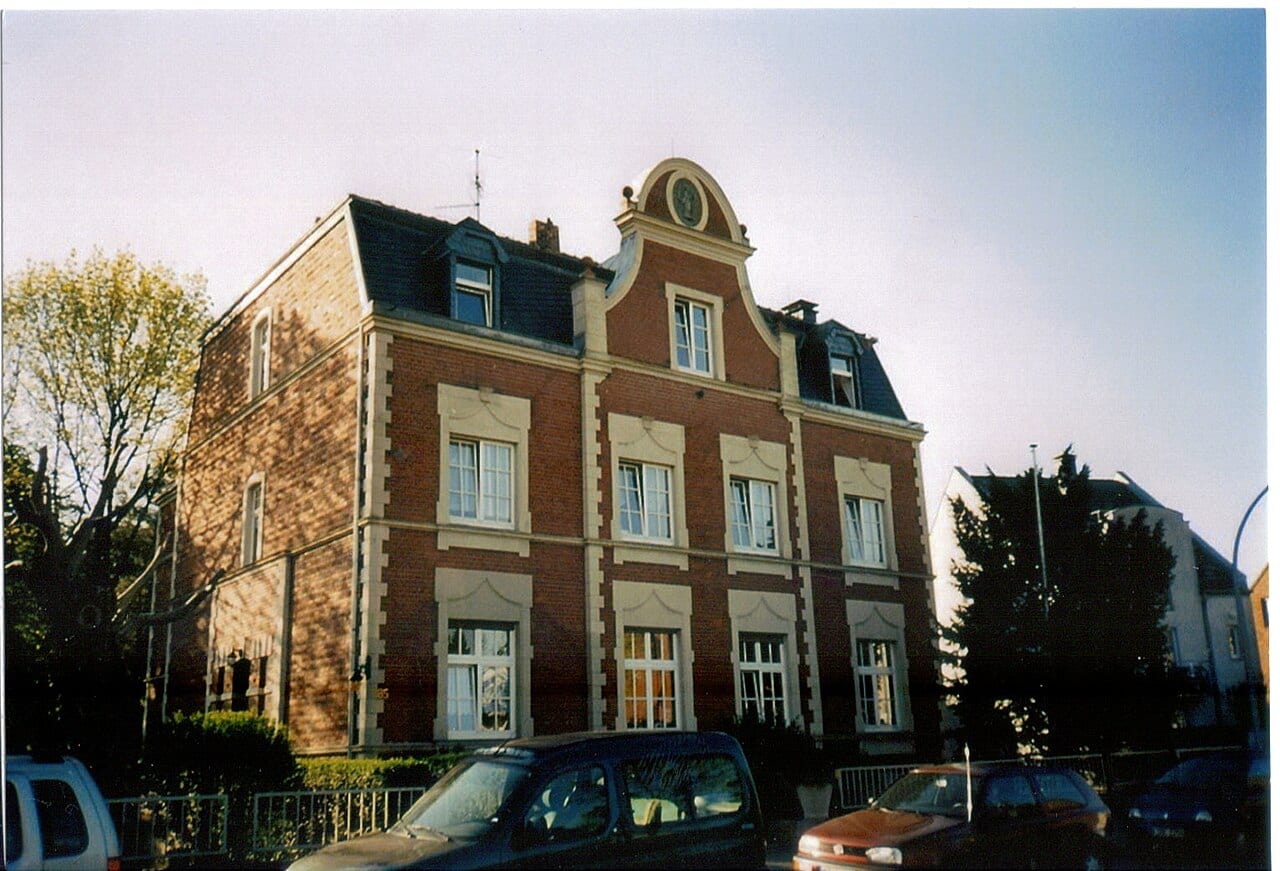
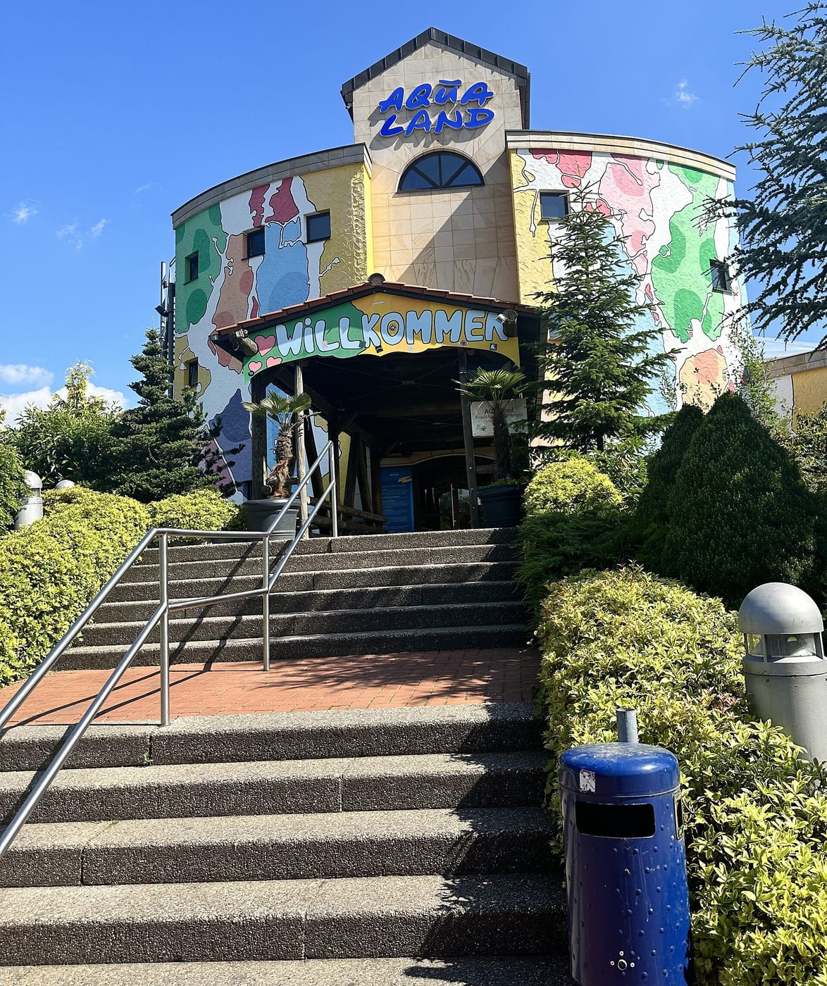
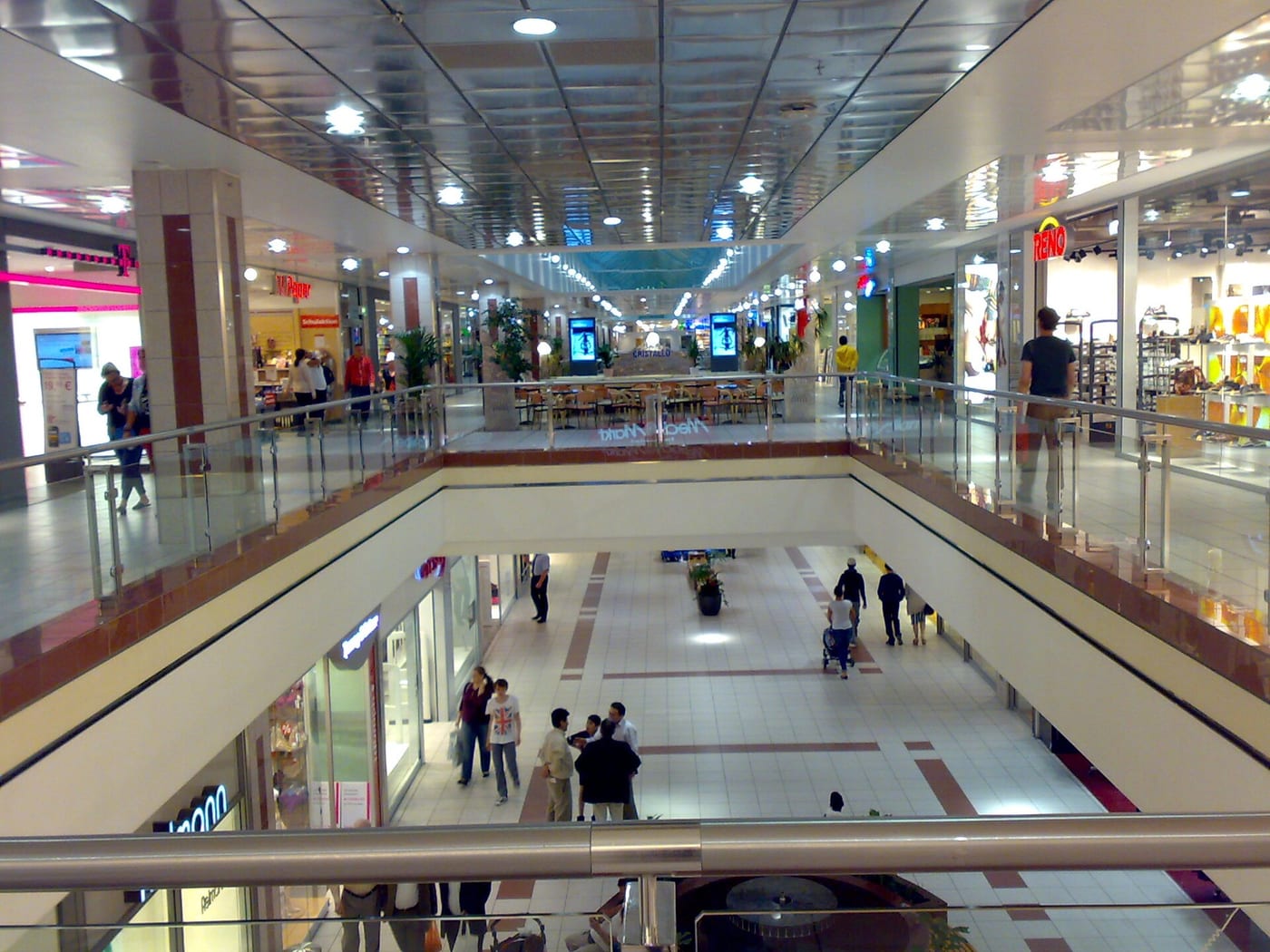
The other boroughs
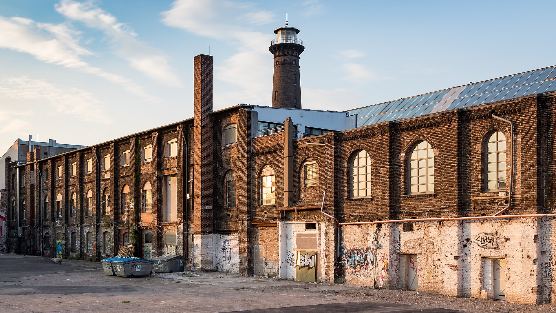
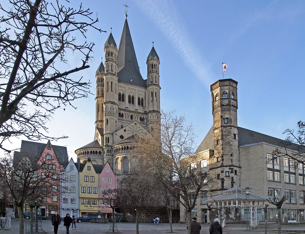
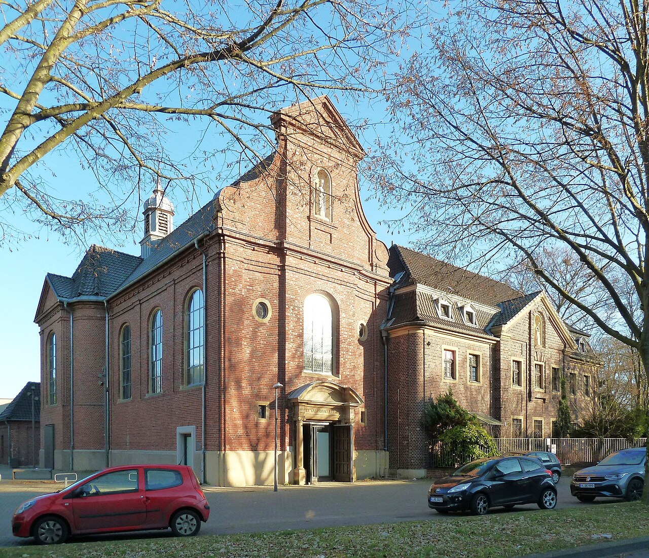
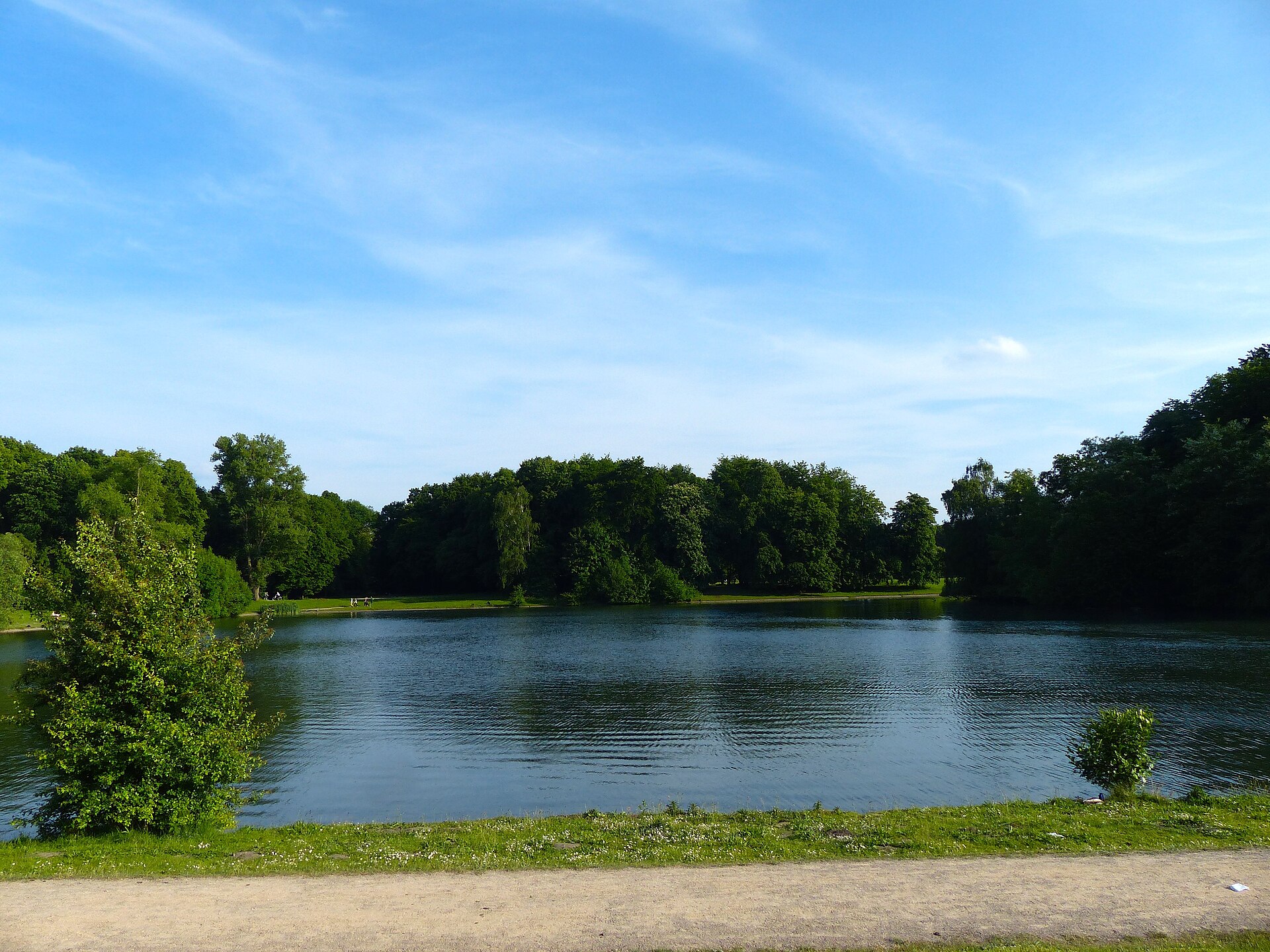
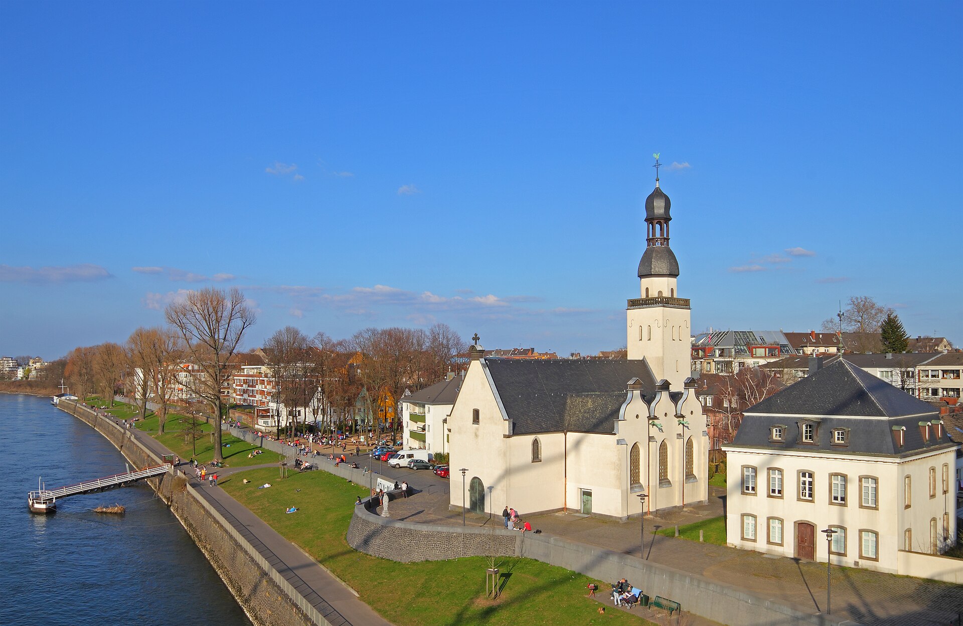
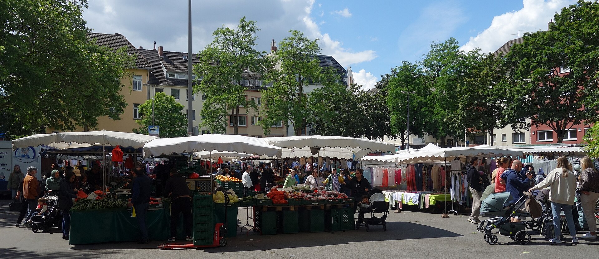
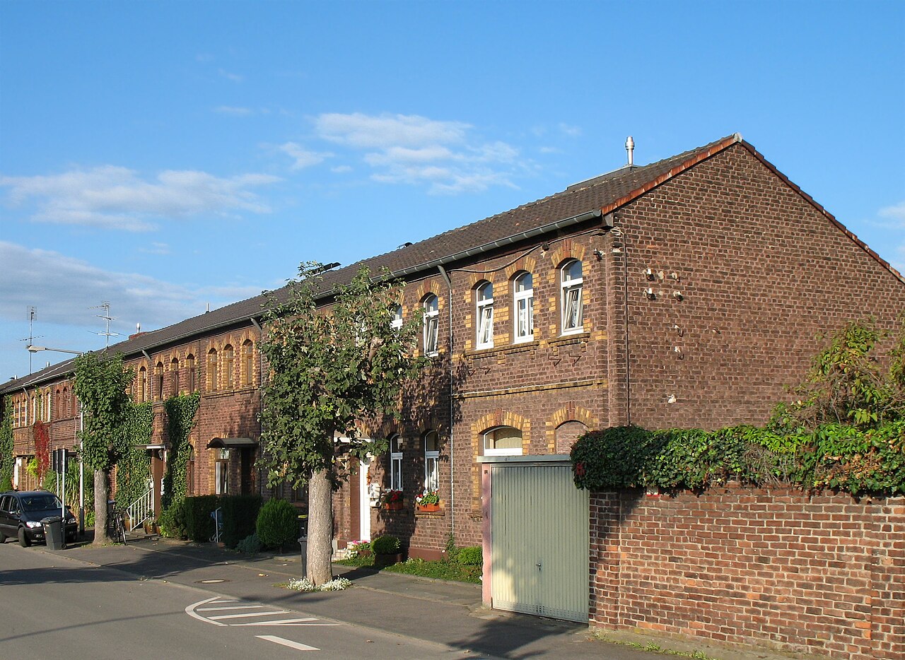
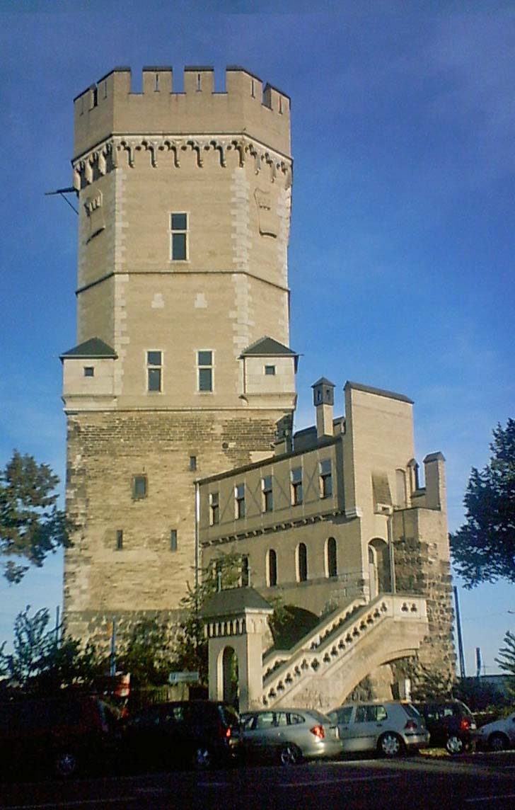
Sources: Cologne neighbourhood monitoring, Statistical data catalogue, City of Cologne geoportal and OpenStreetMap contributors (ODbL) (as of 2024)
Comments
- Loading comments…
Sources & links
- geoportal.stadt-koeln.de (retrieved 2026-06-30)
- Wikipedia (retrieved 2026-06-30)
- openstreetmap.org
How this page is made
This page draws on open sources — Wikipedia, Wikidata, official websites and the city’s open data. Every statement is checked against the sources linked here, and pages are refreshed regularly.
Spotted a mistake anyway? Tell us below — we read every submission.