City borough
Porz
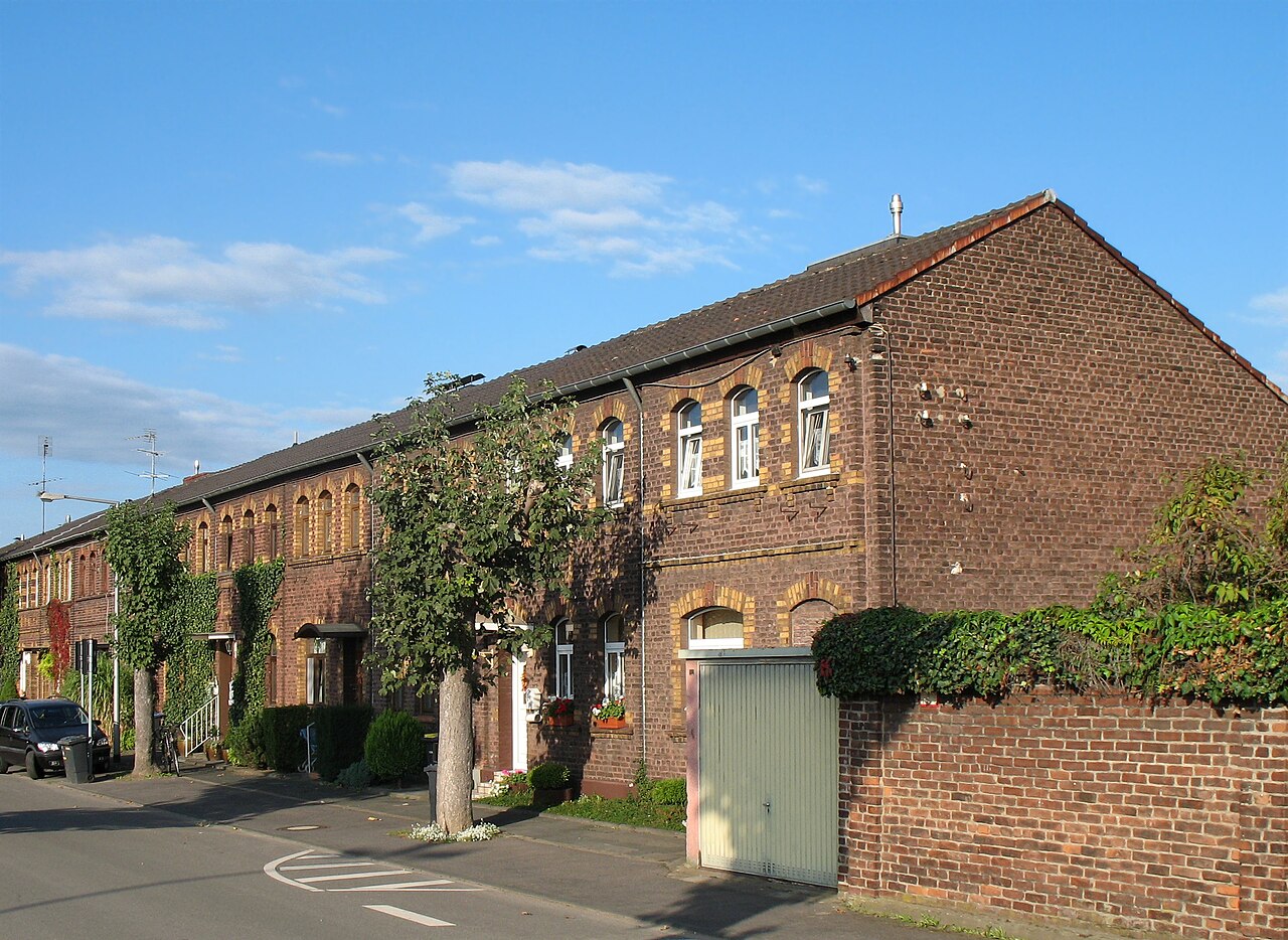
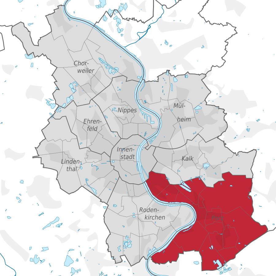
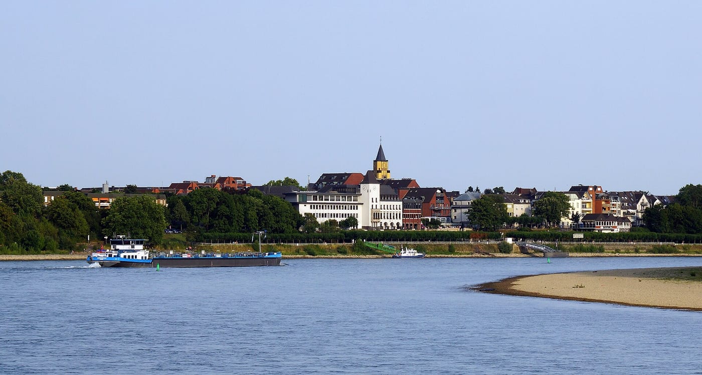
Porz is a district in the south-east of Cologne and lends its name to the surrounding borough of the same name. It sits on the right bank of the Rhine, along the steep eastern shore of the Weiß river bend.
Source: Wikipedia
Compare with other boroughs
Tick areas — their values appear as coloured markers on the bars below.
Age structure
Source: Cologne neighbourhood monitoring
Population & social
Source: Cologne neighbourhood monitoring
Households
Source: Cologne neighbourhood monitoring
Land use
Source: Cologne neighbourhood monitoring
Political leaning
NRW state election 2022, party-list votes — bars relative to the strongest result, percentages beside.
Tick areas — their values appear as coloured markers on the bars.
Per 10,000 inhabitants
Counts in the area, relative to population — fairly comparable.
Tick areas — their values appear as coloured markers on the bars.
Family & everyday
Health & mobility
Sources: City of Cologne open data & geoportal (schools, daycare, playgrounds, transit, hospitals, libraries) and OpenStreetMap contributors (ODbL; pharmacies, supermarkets, markets, recycling, fountains, EV charging)
What's in this area
Counted within the boundary from open data — City of Cologne (geoportal/open data) and OpenStreetMap contributors (ODbL). Every number links to its source.
Districts in this borough
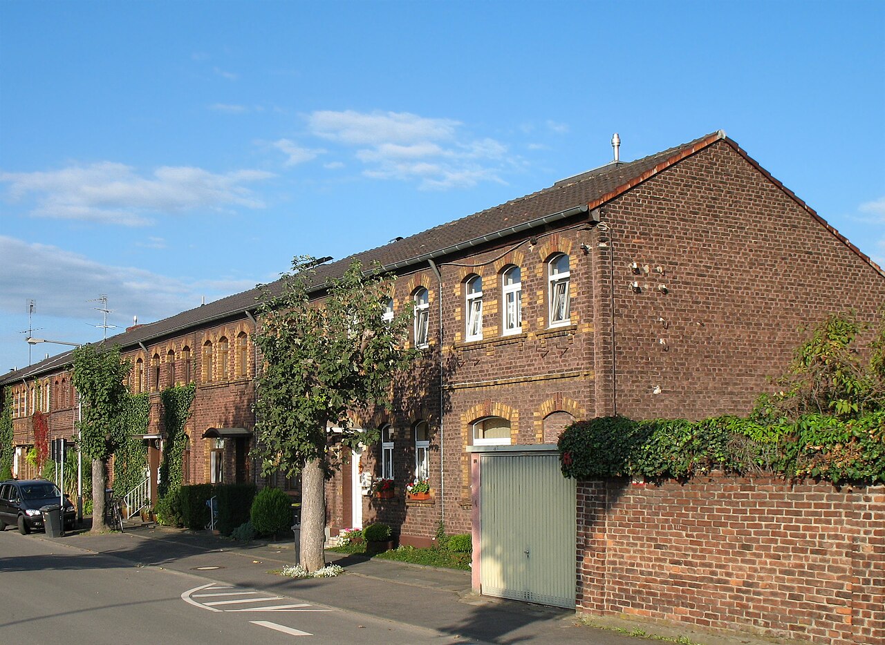
Porz sits in the south-east of Cologne on the right bank of the Rhine and lent its name to the surrounding city district of the same name. The neighbourhood rises above the steep eastern bank of the …
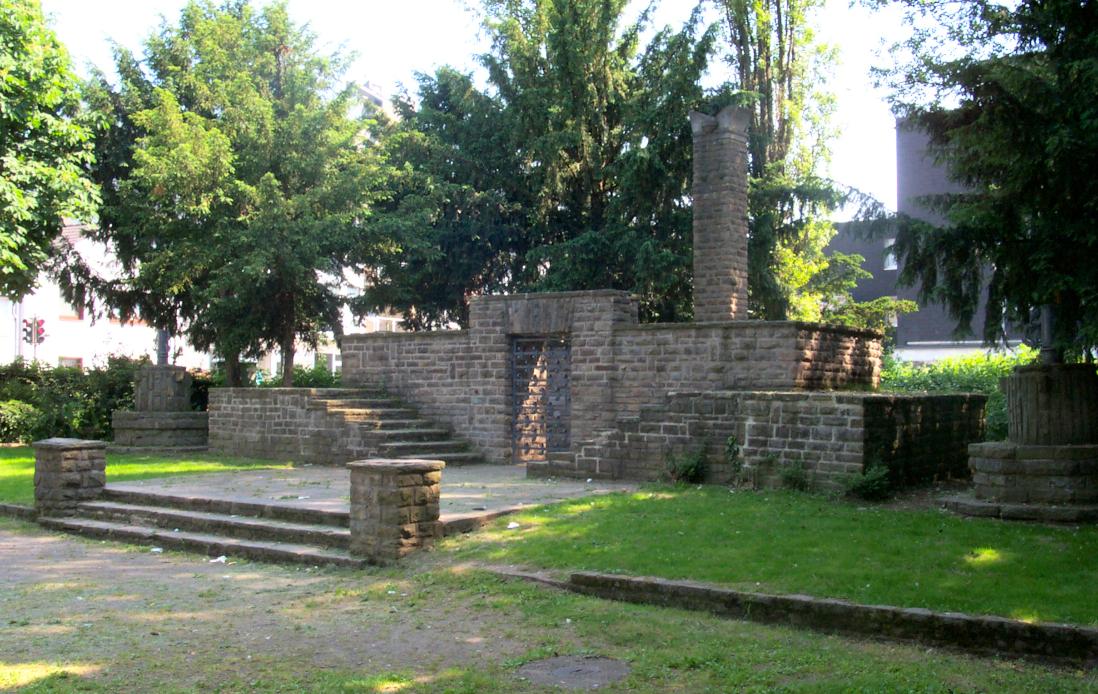
Urbach is a district in the eastern part of Cologne's Porz borough. It stretches along the B 8 federal road between the neighbouring districts of Eil and Wahn.
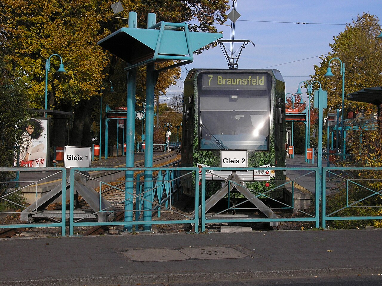
Zündorf is a district in the southern, right-bank part of Cologne and forms part of the borough of Porz. It thus belongs to the city's southern neighbourhoods on the eastern side of the Rhine.
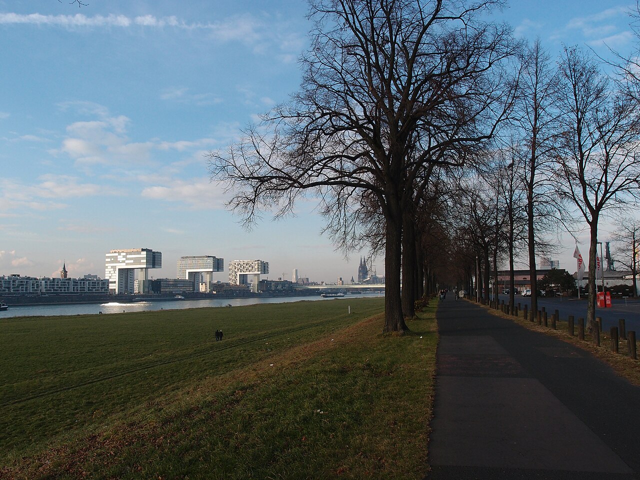
Poll sits on the right bank of the Rhine, southeast of the city centre, and was incorporated into Cologne together with Deutz in 1888. With the municipal reorganisation of 1975 it took on a special …
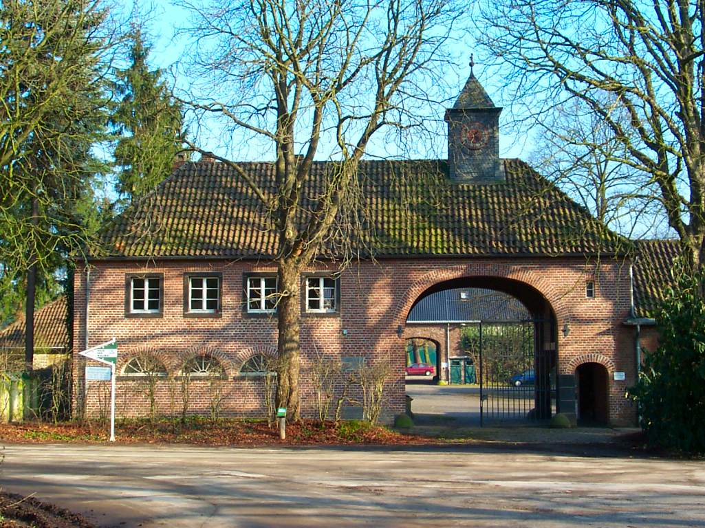
Eil is a district in the southeast of Cologne and belongs to the borough of Porz. Covering 16.25 square kilometres, it is the largest of all Cologne's districts by area.
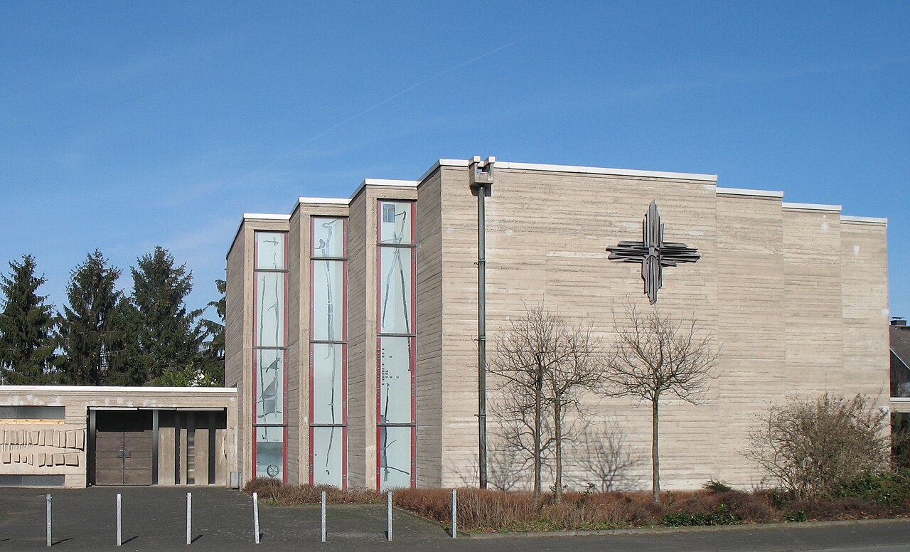
Wahnheide is a district of Cologne in the borough of Porz, situated in the south-east of the city.
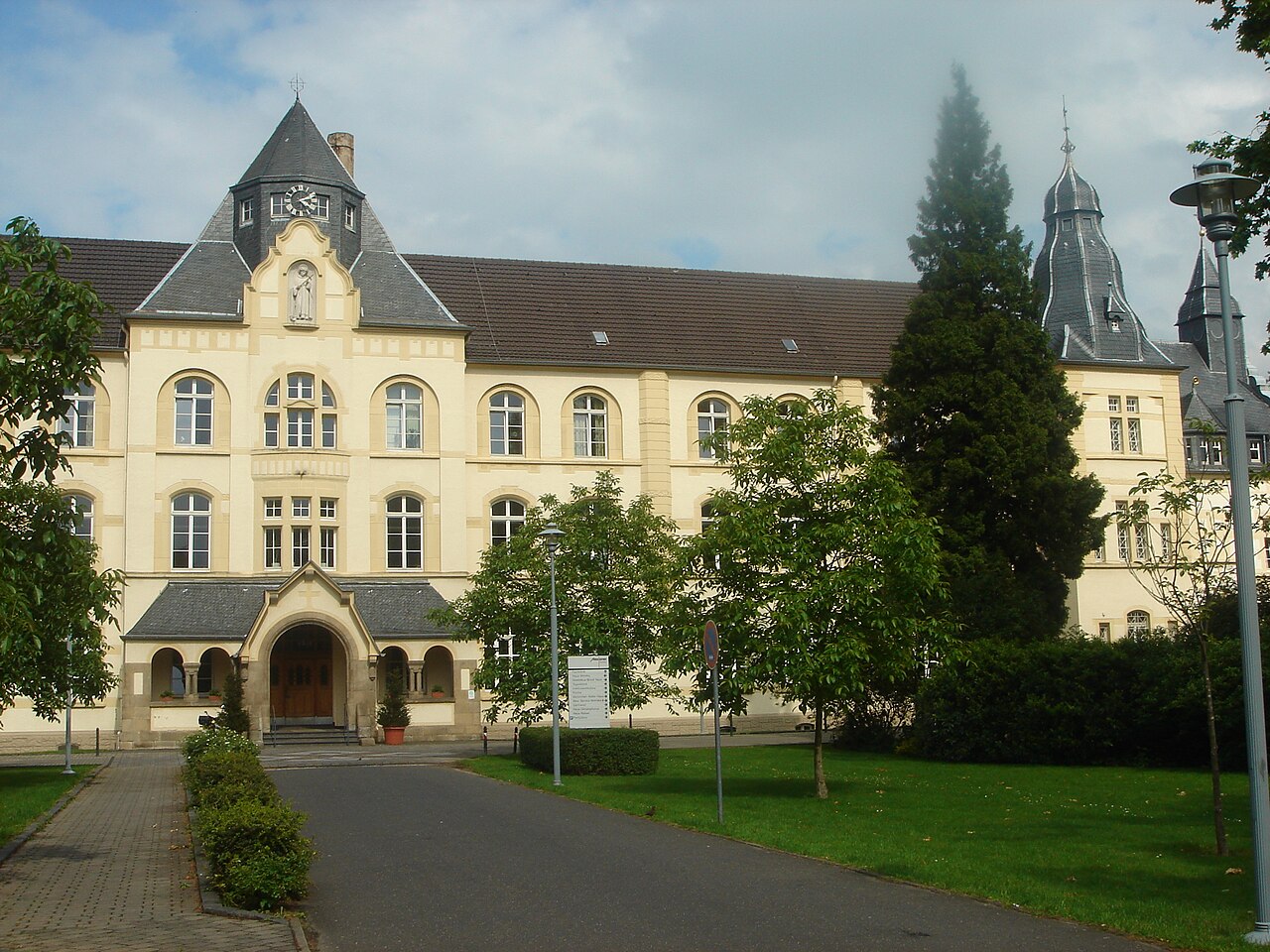
Ensen is a district of Cologne situated on the right bank of the Rhine. It belongs to the borough of Porz.
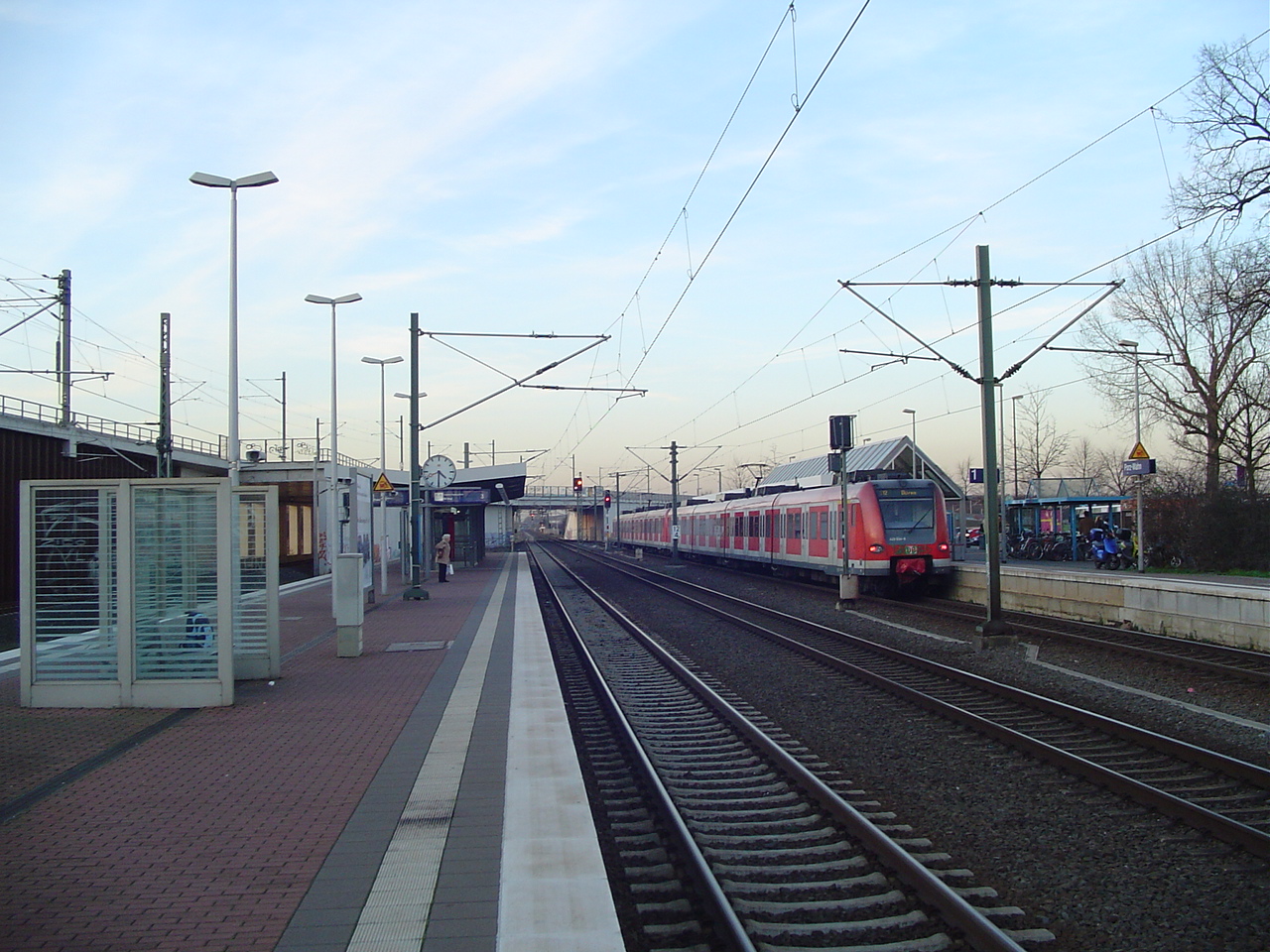
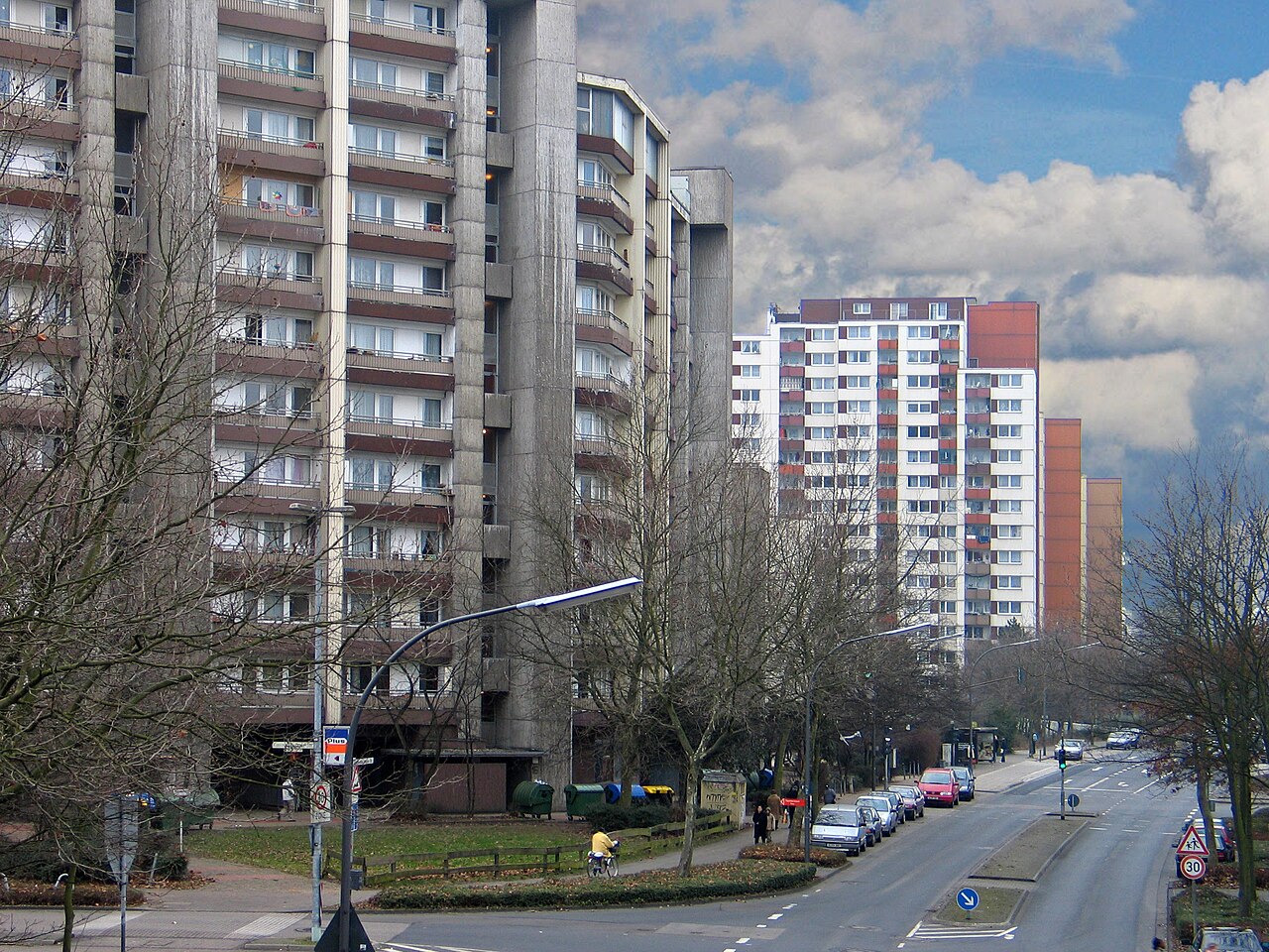
Finkenberg is a district in Cologne's Porz borough. Thanks to its small size it ranks among the city's tiniest districts, surpassed only by Mauenheim at 0.49 km².
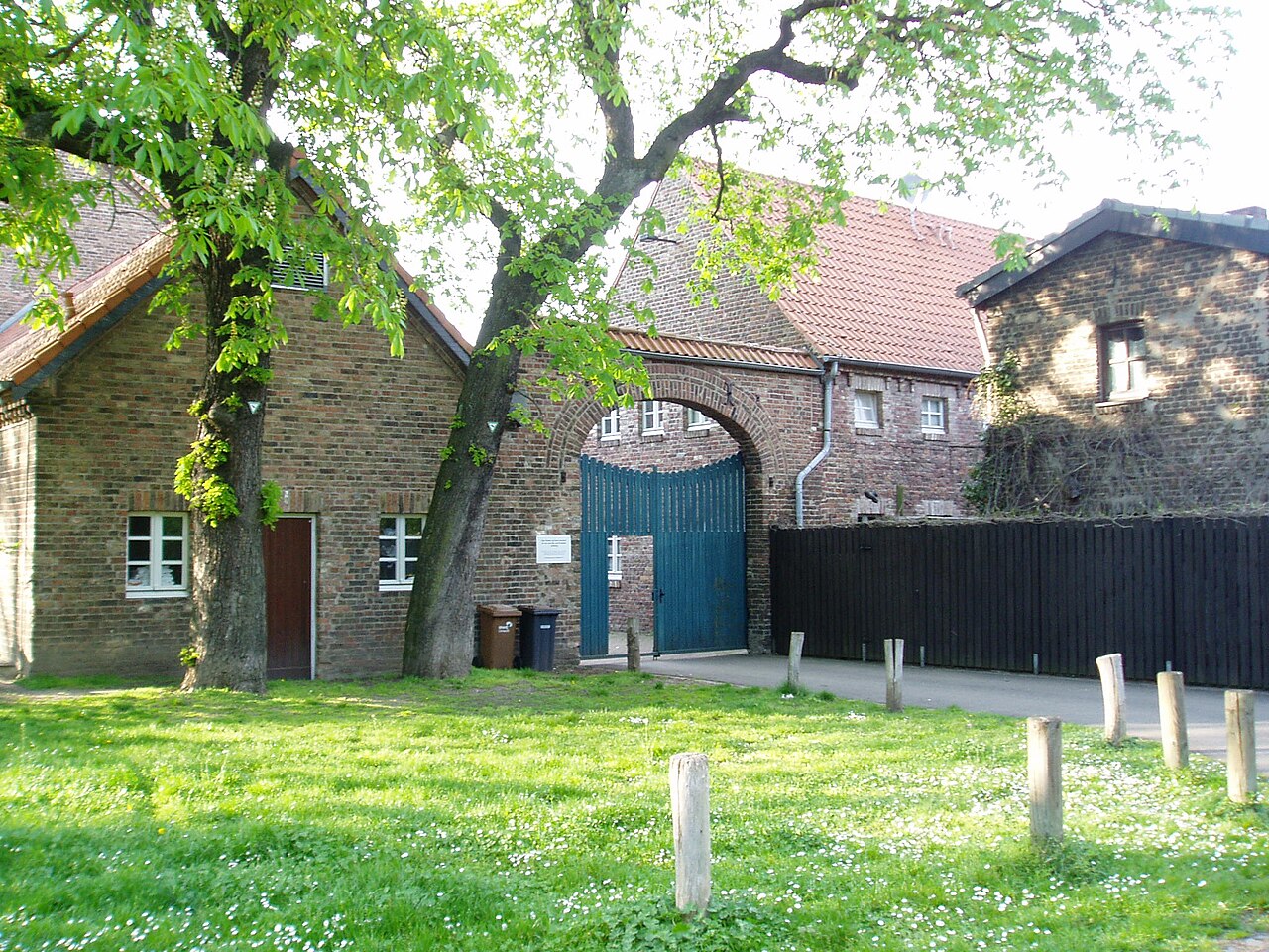
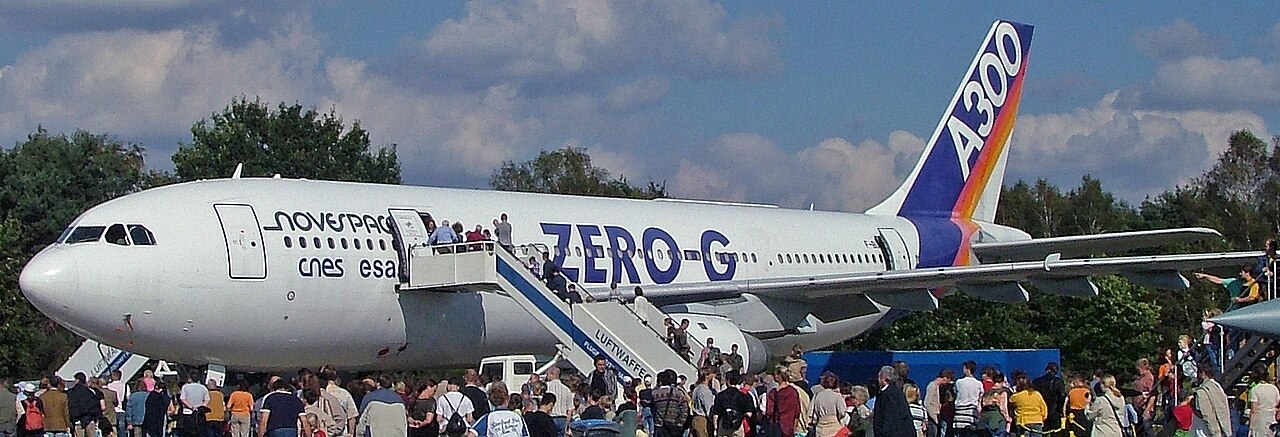
Grengel sits in the southeast of Cologne and is one of the sixteen districts that make up the borough of Porz. It began as a garden-city settlement in the early 1930s but was only formally established …
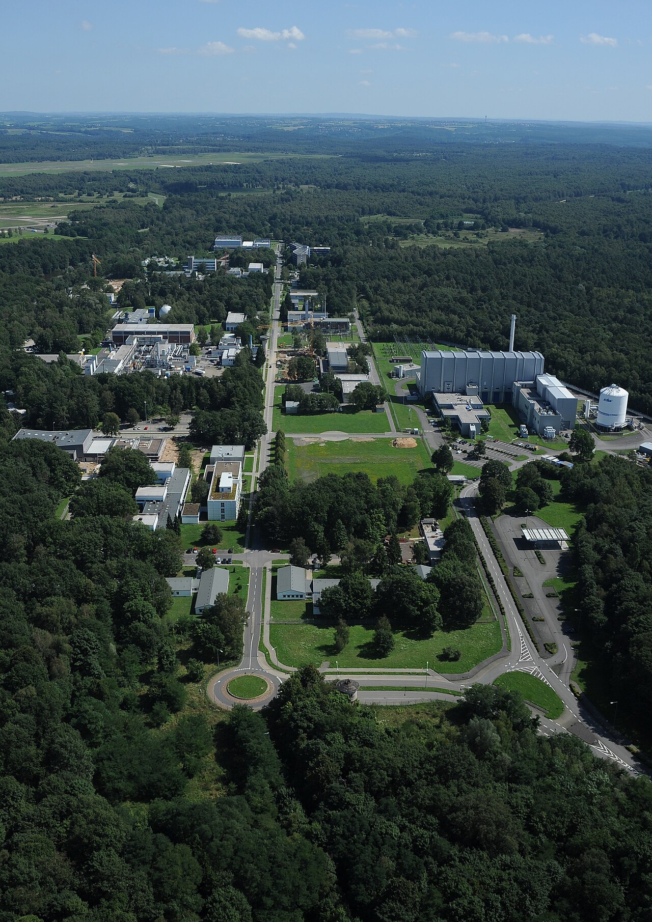
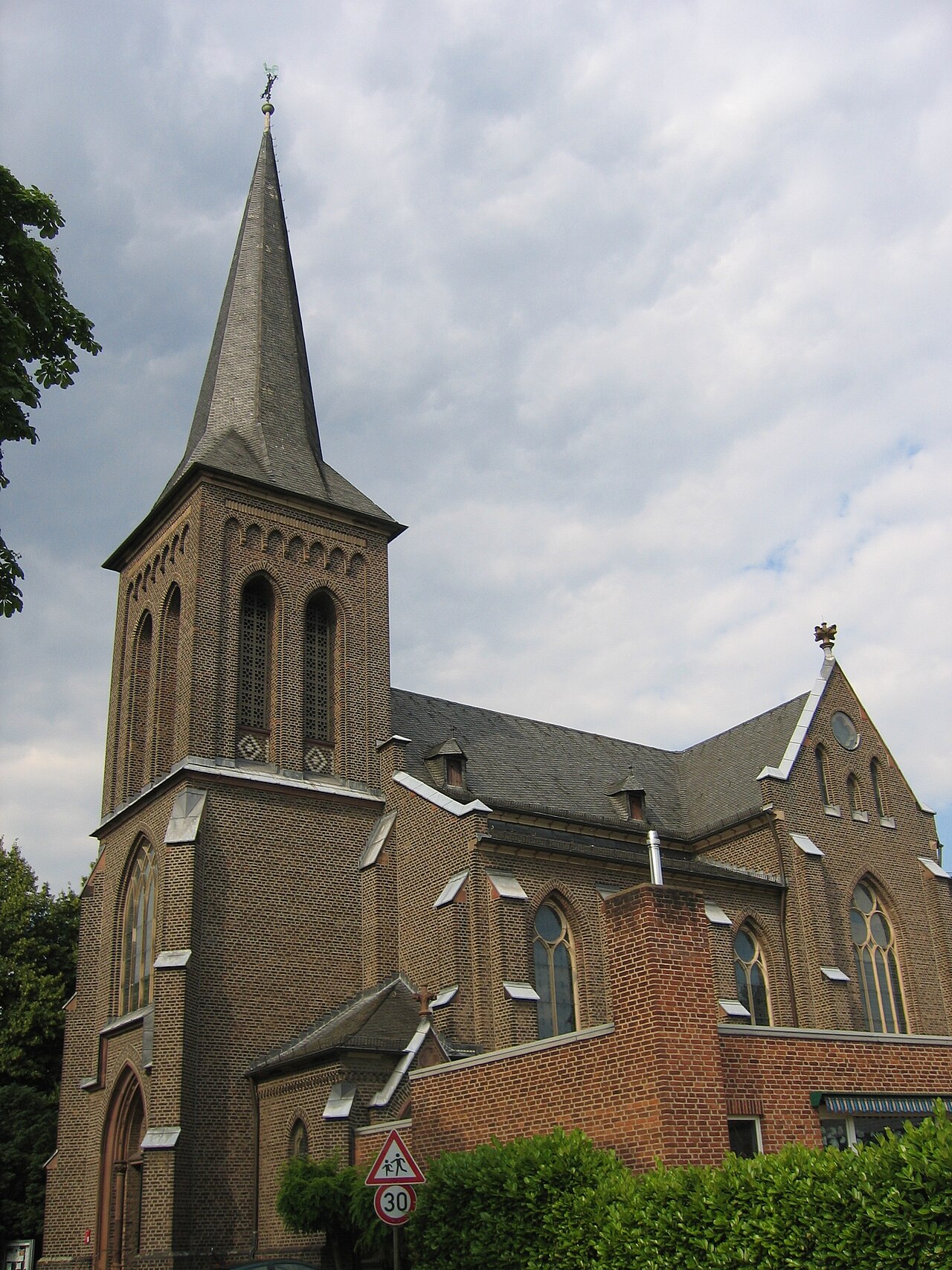
Langel is a district in the south of Cologne, located on the right bank of the Rhine and part of the Porz borough.
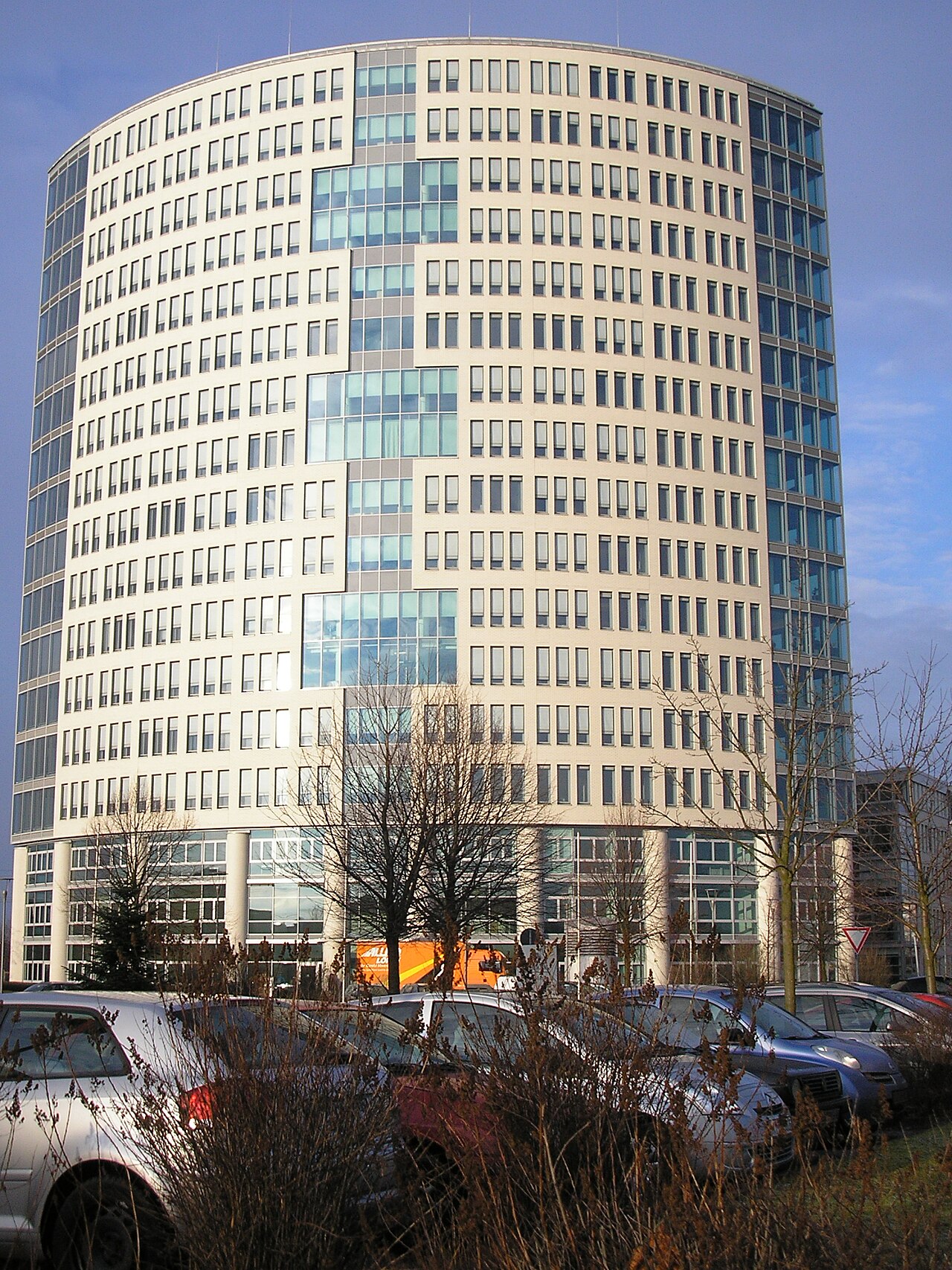
Gremberghoven is a district on the right bank of the Rhine in the southeast of Cologne and belongs to the borough of Porz. It has carried its present name since 1922, formed by combining the names of …
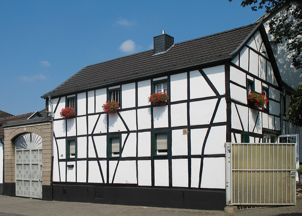
Elsdorf is a district in Cologne's Porz borough on the right bank of the Rhine. Both in terms of population and area, it is one of the smallest districts in the city.
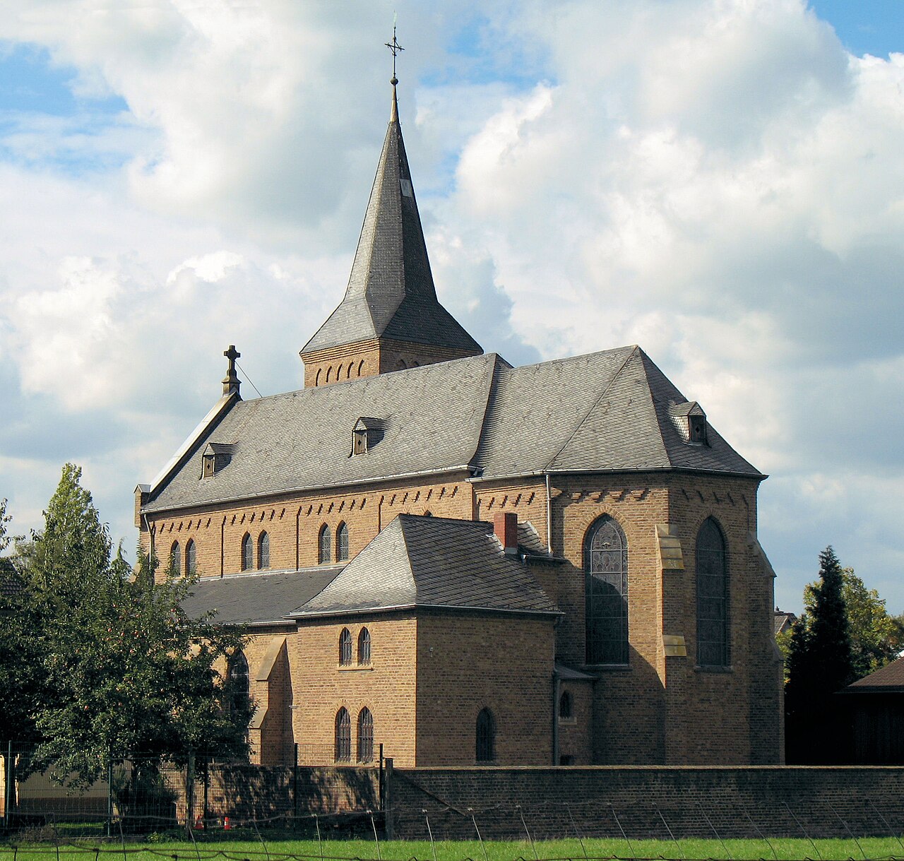
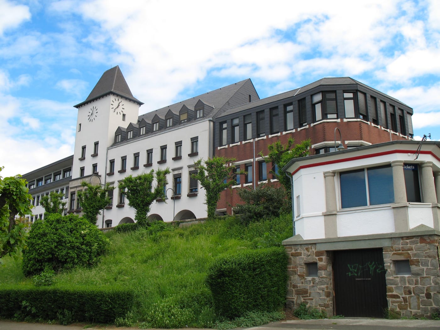
The other boroughs
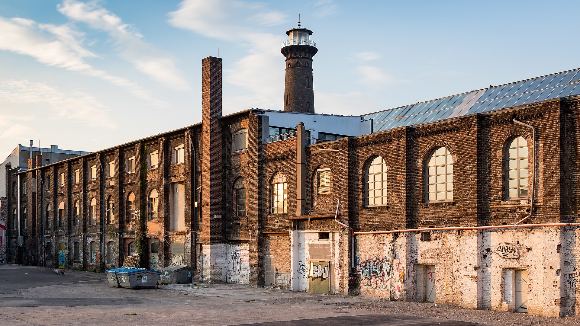
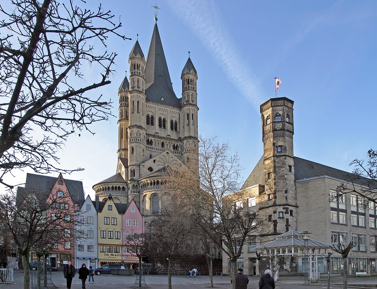
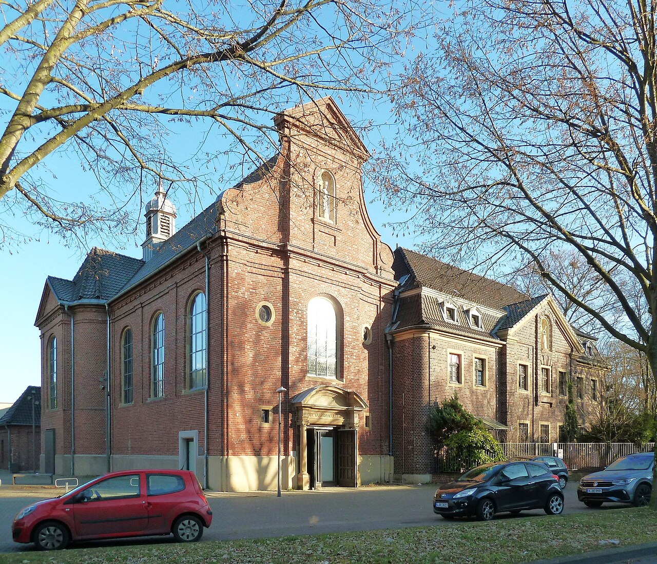
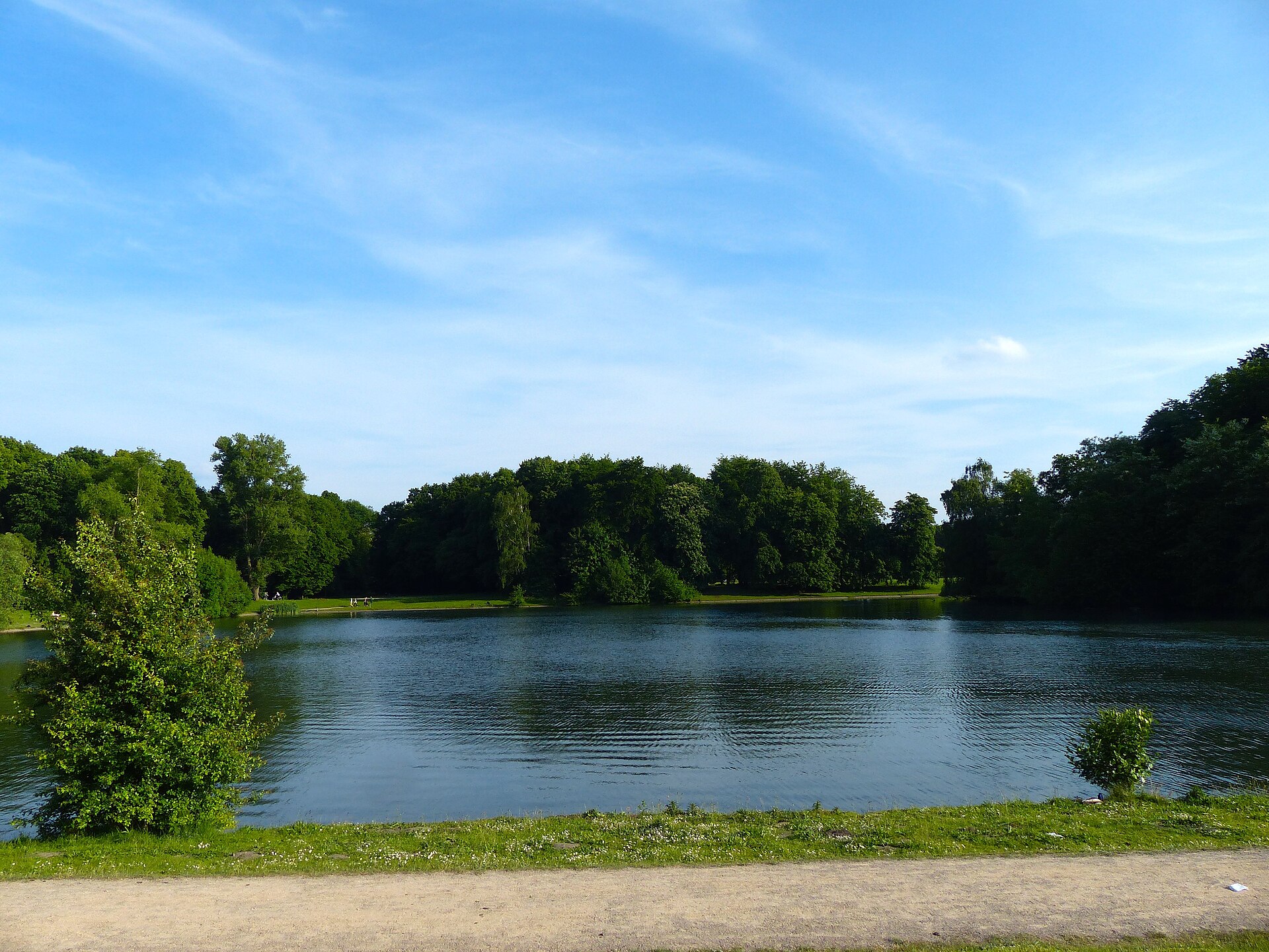
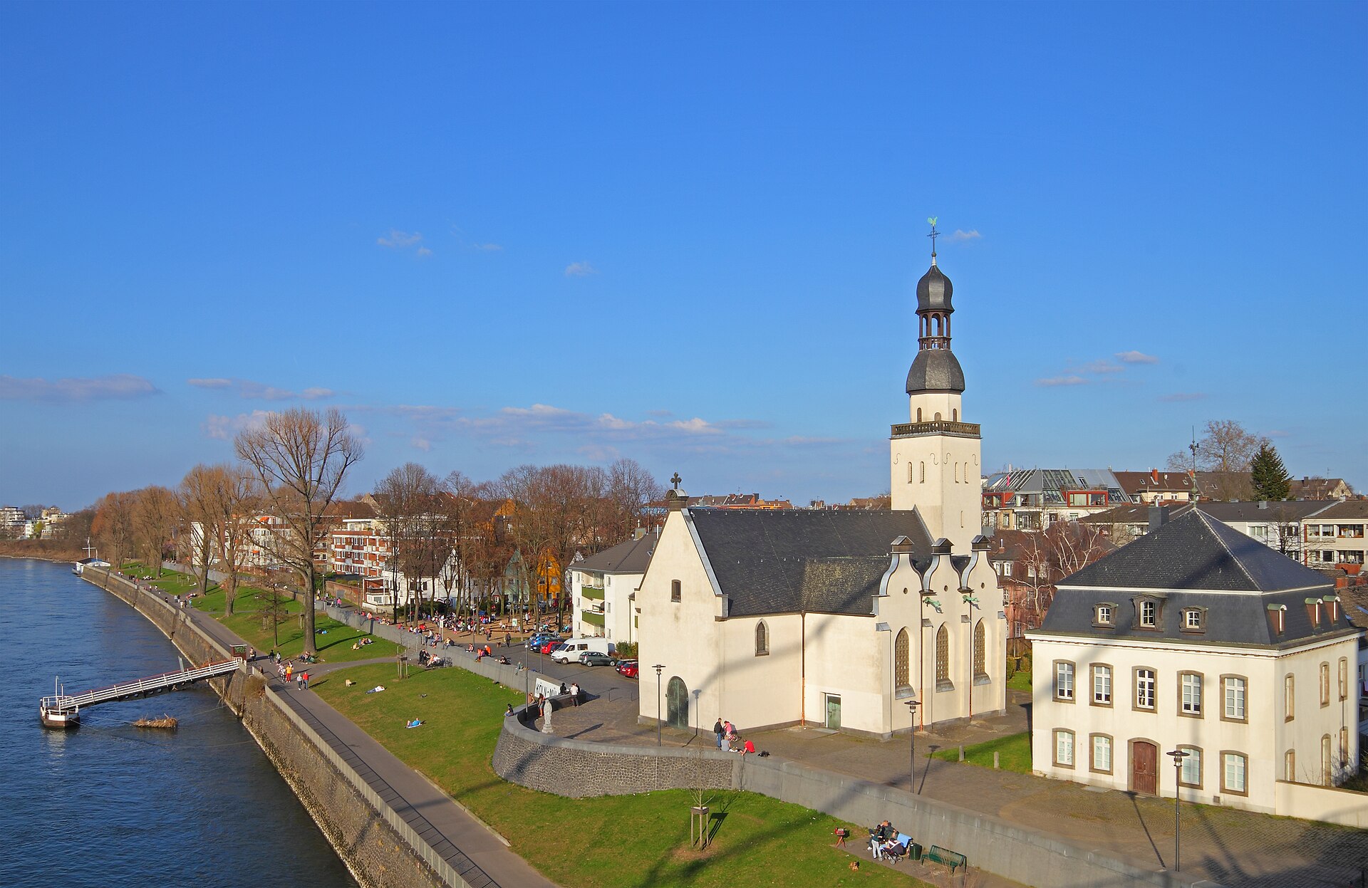
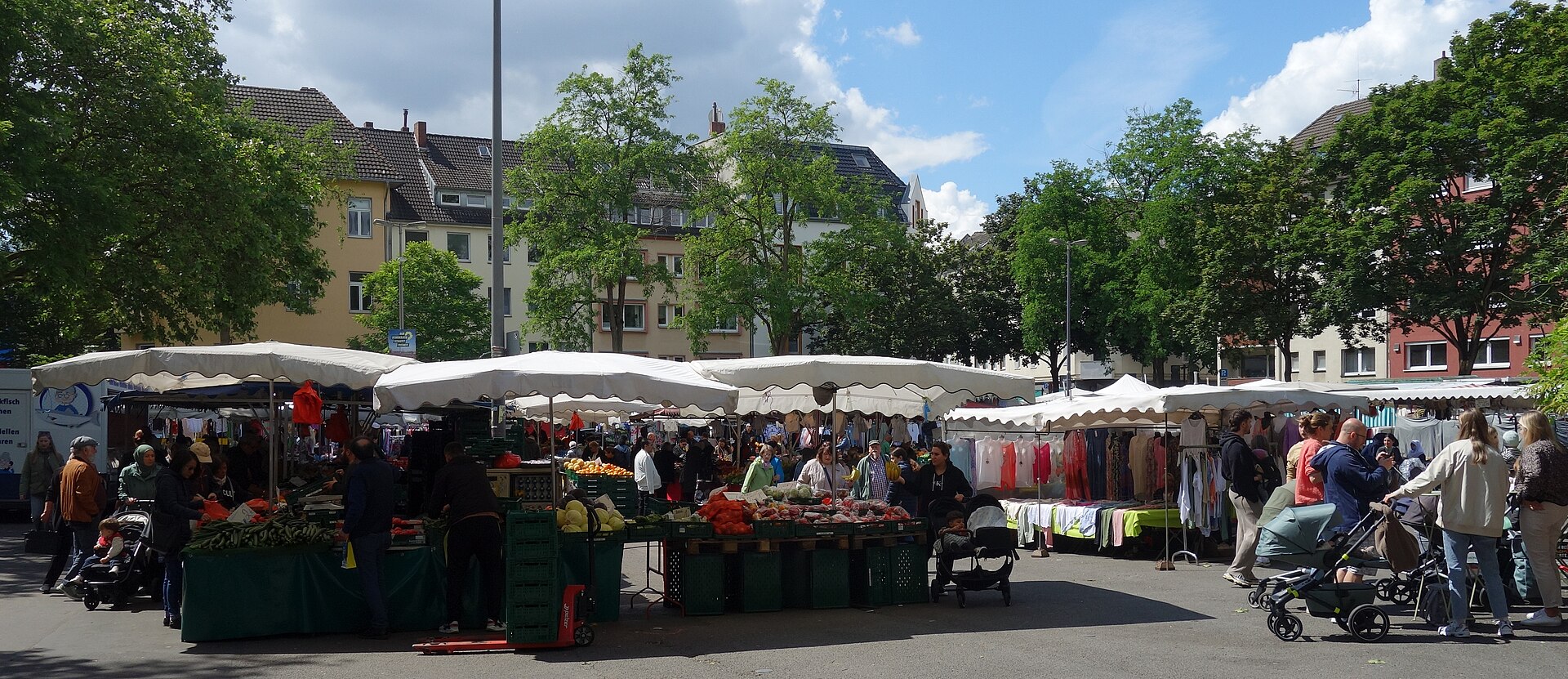
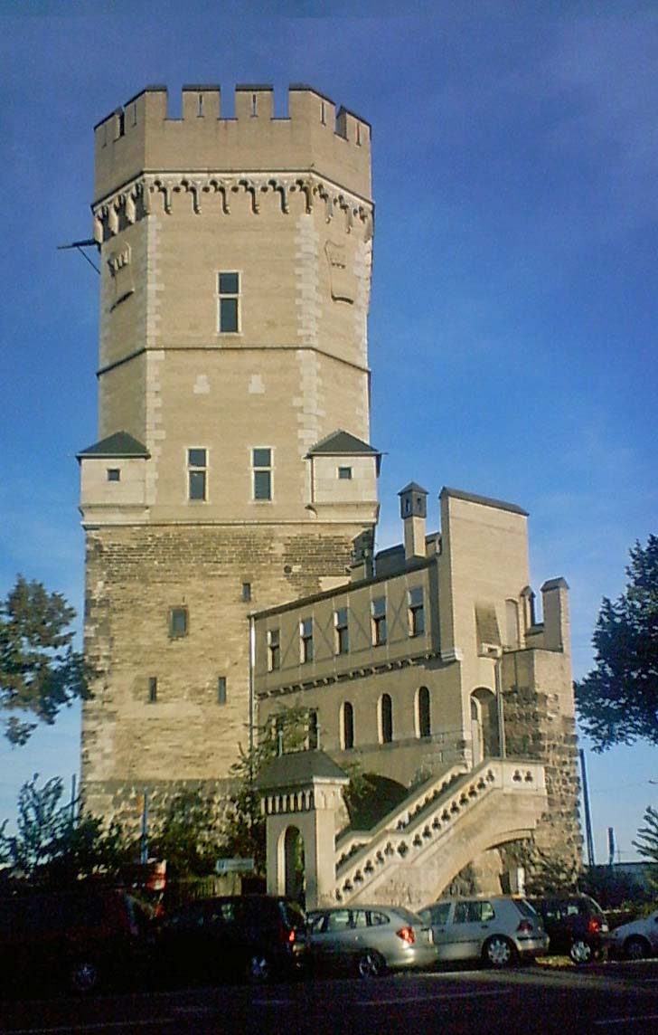
Sources: Cologne neighbourhood monitoring, Statistical data catalogue, City of Cologne geoportal and OpenStreetMap contributors (ODbL) (as of 2024)
Comments
- Loading comments…
Sources & links
- geoportal.stadt-koeln.de (retrieved 2026-06-30)
- Wikipedia (retrieved 2026-06-30)
- Wikipedia (retrieved 2026-06-30)
- openstreetmap.org
How this page is made
This page draws on open sources — Wikipedia, Wikidata, official websites and the city’s open data. Every statement is checked against the sources linked here, and pages are refreshed regularly.
Spotted a mistake anyway? Tell us below — we read every submission.