Wahner Heide
A vast nature reserve east of Cologne with a rare mosaic of dry dunes and wet moorland, freely accessible on marked trails.
Just east of Cologne, right beside Cologne Bonn Airport, the Wahner Heide is one of the region's most remarkable natural landscapes. Within a very small area, dry sand dunes meet wet moorland – a contrast that gives rise to an unusually rich diversity of species.
Source: Wikipedia
At a Glance
- Area
- roughly 47 km² of heathland, of which about 37 km² is nature reserve (in the narrower sense)
- Location
- east of Cologne, between Cologne-Porz (Wahn), Rösrath, Lohmar and Troisdorf
- Protection status
- nature reserve since 1931, part of Natura 2000 and recognised as a bird sanctuary
- Landscape
- a small-scale patchwork of very dry dunes and very wet hollows
- Biodiversity
- around 700 species found here appear on the Red List of endangered species
- Ownership
- held since 2013 by DBU Naturerbe, secured for conservation and the public
- Access
- free year-round, strictly on the marked trail network
Landscape & Nature
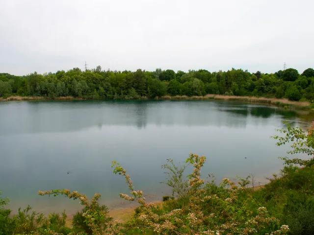
The Wahner Heide forms the southern end of the Bergische Heideterrasse, a river terrace east of the Rhine that rises eight to ten metres above the adjoining lower terrace to the west. Its character lies in the close coexistence of opposing habitats. After the last ice age, wind piled sand into dunes where water drains away so quickly that – despite ample rainfall – dry grassland, heath, and pine and oak woods thrive. In the hollows, by contrast, water collects to form heath bogs, moor and floodplain woodland, complemented by water bodies such as the Quarzitsteinsee, the Kronenweiher and the former clay pit. This mosaic explains the wealth of wildlife: around 700 of the species living here are considered at risk.
Military History
As early as 1817 the Prussian military used the heath as an artillery range, which is why it was long known as the "Schießplatz Wahn." In both world wars it served as a training ground, airfield and prisoner-of-war camp. Before the Second World War the Luftwaffe built an air base here, whose runways the Royal Air Force expanded from 1945 – the basis of today's Cologne Bonn Airport, opened fully to civilian traffic in 1957. Belgian forces trained on the heath from 1953 to 2004, and the German armed forces still use parts of it as the Wahn training area. The military closure also had an upside: because neither housing nor commercial development was possible, nature could develop undisturbed across much of the area.
Heath Management Today
A heath is not untouched wilderness but a cultural landscape shaped by people – many rare species survive only through active management. The sandy soils were never suited to arable farming and were used mainly as pasture until the 19th century. After the Belgian forces withdrew, traditional heath husbandry was re-established: around 300 goats graze mainly in the north during the summer months, keeping woodland in check, joined by some 50 Glan cattle whose grazing also helps preserve this rare breed.
Recreation & Access
Following protests from the local population, the restricted zone declared in 1967 was opened to visitors on weekends from 1978; since 2004 the Wahner Heide has been accessible every day of the week. The Königsforst nature reserve adjoins it directly to the north, making longer walks easy to plan. Access is free of charge.
Important Safety Note
Because of its former military use, much of the heath is still contaminated with ordnance. For that reason one rule applies: always stay on the marked trail network. Signs explicitly warn of the danger and urge visitors not to leave the paths. In the south, part of the area remains a military security zone (a German armed forces training ground) that may not be entered without authorisation.
Gallery
You might also like — related or nearby
Comments
- Loading comments…
Sources & links
Auto-generated, last verified: 2026-08-01
How this page is made
This page draws on open sources — Wikipedia, Wikidata, official websites and the city’s open data. Every statement is checked against the sources linked here, and pages are refreshed regularly.
Spotted a mistake anyway? Tell us below — we read every submission.