Zülpicher Straße
Bars and pubs in the "Kwartier Latäng" define the stretch between Zülpicher Platz and Südbahnhof on this 2.8-kilometre street in Cologne.
From Zülpicher Platz, the street runs southwest to Gleueler Straße in Sülz. Tram line 9 serves the vast majority of this route.
Source: Wikipedia
At a Glance
- Type
- Street in Cologne, North Rhine-Westphalia
- Location
- Südstadt district, Innenstadt borough
- Length
- 2.8 km
- Cross streets
- 39
- Named after
- The town of Zülpich in the Euskirchen district
- Highlight
- Bars and pubs in the "Kwartier Latäng"
The "Kwartier Latäng" Pub District
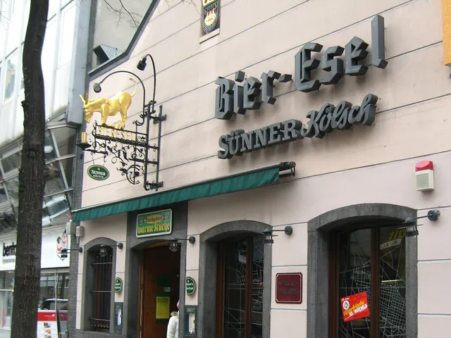
The section between Zülpicher Platz and Südbahnhof belongs to the "Kwartier Latäng". Bars and pubs dominate the scene here.
Origin of the Name
The street was formerly known as "Krieler Weg". On 10 May 1883, it was renamed after Zülpich. The town lies 33 kilometres from Cologne and traces its origins back to an ancient Roman settlement.
Timeline
- 1883Street named after the town of Zülpich on 10 May
- 1884Until then the street was called "Krieler Weg"
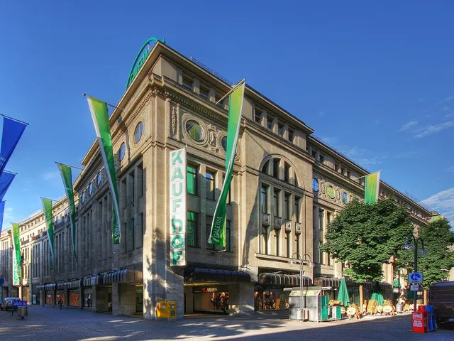
Gallery
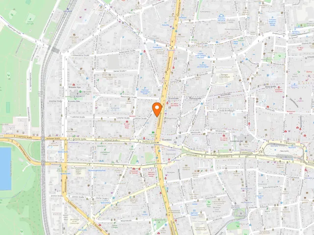
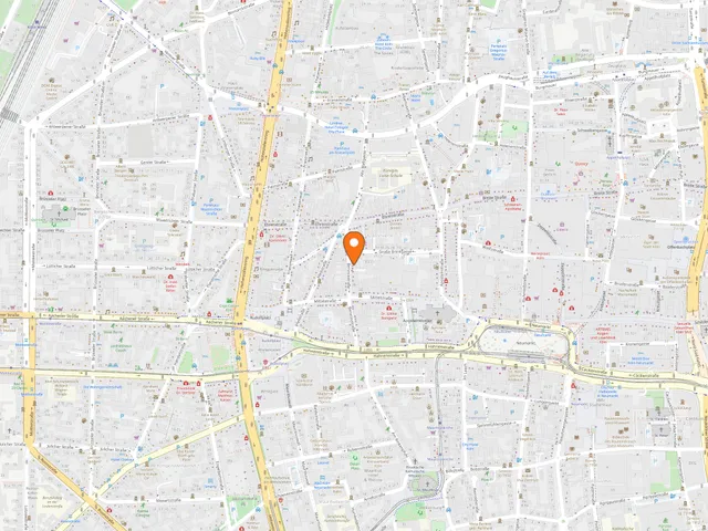
Map
Blue dots: other places nearby — tap to explore.
You might also like — related or nearby
Comments
- Loading comments…
Sources & links
Auto-generated, last verified: 2026-10-31
How this page is made
This page draws on open sources — Wikipedia, Wikidata, official websites and the city’s open data. Every statement is checked against the sources linked here, and pages are refreshed regularly.
Spotted a mistake anyway? Tell us below — we read every submission.