Innere Kanalstraße
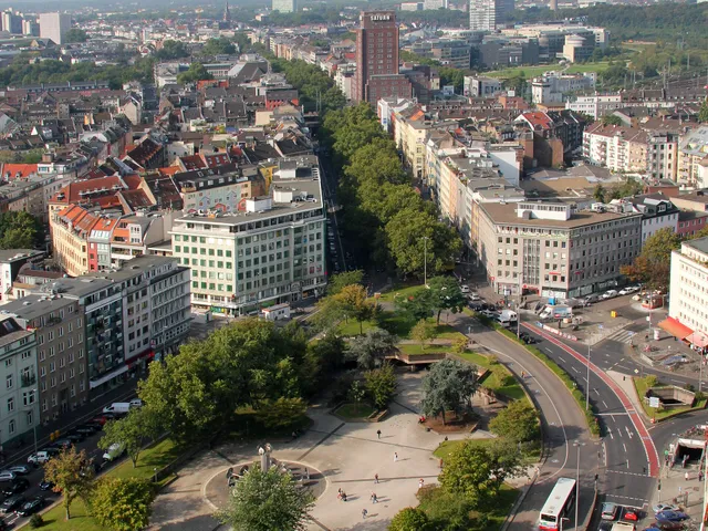
Cologne ring road built over an underground sewer collector: a semicircle along the outer edge of the inner green belt, ending at the Zoobrücke ramp.
The street has had several names over its history, and its first stretch is still called something different today. Along it you'll find university buildings, two centers for Japanese and East Asian culture, a mosque and a television tower.
At a Glance
- Type
- Ring road, running in a semicircle from southwest to northeast
- Length
- 4.7 km, of which 1.9 km is Universitätsstraße
- Route
- from Luxemburger Straße in Köln-Sülz to the Zoobrücke ramp on the Rhine
- Districts crossed
- Köln-Sülz, Köln-Lindenthal, Köln-Ehrenfeld, Köln-Neustadt-Nord, Köln-Nippes
- Location per OpenStreetMap
- Neuehrenfeld, Ehrenfeld borough – this refers to a single point, not the entire route
- Construction began
- 1896
- Opened to traffic
- 18 October 1952, initially with two lanes
In 1938 the Nazis split the Innere Kanalstraße into several sections and renamed them after military leaders such as Ludendorff and Mackensen; in 1945 it got its name back, with only the section along the university remaining as Universitätsstraße.
A Road Above the Sewer
Beneath the roadway runs the main sewer system for the wastewater of the suburbs that were incorporated into Cologne in April 1888. In most large cities, epidemics prompted the construction of sewers; in Cologne, it was instead the expansion of the city with the Neustadt from 1881. The flush sewer system was built between 1886 and 1905. The street was laid out on the open land above the filled-in sewer route.
From Fragment to Semicircle
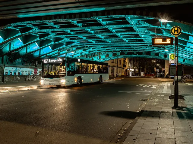
By 1907, the then Kanalstraße ran from Höninger Weg in Zollstock to Amsterdamer Straße in Riehl. In 1923, Fritz Schumacher envisioned it not as an enclosing ring but as a structure of four diagonal connections. From 1928, it was expanded between Luxemburger Straße and Aachener Straße under the name Innere Kanalstraße, to distinguish it from the Äußere Kanalstraße begun the same year. By 1938 it ran as a continuous semicircle to Riehler Straße, separating the incorporated suburbs from the center. It was only extended to the ramp of the Zoobrücke when that bridge was built.
Changing Names
From 1938, during the Nazi era, the street was divided into sections named Lettow-Vorbeck-, Ludendorff-, Litzmann- and Mackensenstraße. Naming them after former German military leaders was meant to foster an awareness of military strength among the population. The section at the university became Universitätsstraße. In 1945 the present name returned, and only Universitätsstraße remained. That is why the street begins as Universitätsstraße and is called Innere Kanalstraße only from the intersection with Aachener Straße.
Along the Route
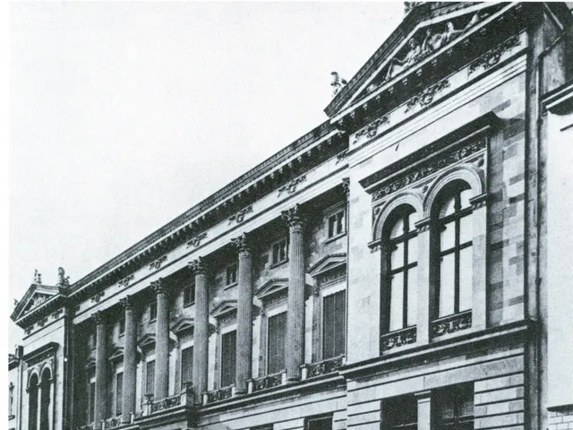
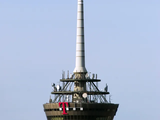
Universitätsstraße is home to the university library, the Alte Mensa and the Studiobühne; the street passes beneath Albertus-Magnus-Platz with the main building and the Philosophikum. Next come the Japanese Cultural Institute (opened 1969) and the neighboring Museum of East Asian Art (opened 1977), both bordering the Aachener Weiher, the only lake in Cologne's inner green belt. After the intersections with Aachener Straße and Vogelsanger Straße, you reach Venloer Straße, home to the DITIB Central Mosque Cologne. At Innere Kanalstraße 100 stands the 266-meter-high "Colonius" television tower, opened on 3 June 1981.
Connection via the Zoobrücke
Since the Zoobrücke was inaugurated on 22 November 1966, the street has linked Cologne's left bank with the motorway ring on the right bank of the Rhine. The bridge provides access to the A 3 towards Frankfurt am Main or Oberhausen and to the A 4 towards Olpe or Aachen.
Timeline
- 1896Construction begins on the ring road, initially called Kanalstraße
- 1907Road extends from Höninger Weg to Amsterdamer Straße
- 1928Further expansion; name 'Innere Kanalstraße' distinguishes it from the Outer one
- 1938Continuous semicircle completed; then split and renamed under the Nazis
- 1945Renamed back to Innere Kanalstraße (Universitätsstraße keeps its name)
- 1952Opened to traffic as a two-lane road on 18 October
- 1966Zoobrücke inaugurated on 22 November, linking road to the motorway ring
- 1981Colonius television tower opened on 3 June
Gallery
Map
Blue dots: other places nearby — tap to explore.
Address
Innere Kanalstraße
Köln
You might also like — related or nearby
Comments
- Loading comments…
Sources & links
Auto-generated, last verified: 2026-10-31
How this page is made
This page draws on open sources — Wikipedia, Wikidata, official websites and the city’s open data. Every statement is checked against the sources linked here, and pages are refreshed regularly.
Spotted a mistake anyway? Tell us below — we read every submission.