About Cologne
Rhine & geography
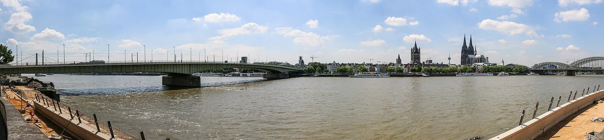
The Rhine splits Cologne into the left bank and right-bank Deutz – lifeline, viewing balcony and identity all at once.
The Rhine is Cologne's lifeline. It separates the left bank with the cathedral and old town from right-bank Deutz with its trade fair and concert venues. Promenades, beer gardens and the modern Rheinauhafen with its striking Kranhäuser line the waterfront.
At 405 km², Cologne is generously sized – and surprisingly green: about 45 % of the city is park, forest or water. The „Grüngürtel" green belt loops through the city like a ring.
Striking bridges such as the Hohenzollernbrücke and the Deutz Bridge span the river.
Sources & links
- Wikipedia (retrieved 2026-06-30)
How this page is made
This page draws on open sources — Wikipedia, Wikidata, official websites and the city’s open data. Every statement is checked against the sources linked here, and pages are refreshed regularly.
Spotted a mistake anyway? Tell us below — we read every submission.
Comments
- Loading comments…