District
Altstadt/Süd
Part of borough Innenstadt
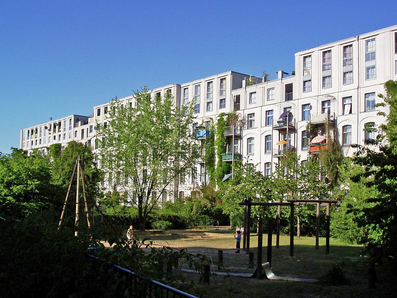
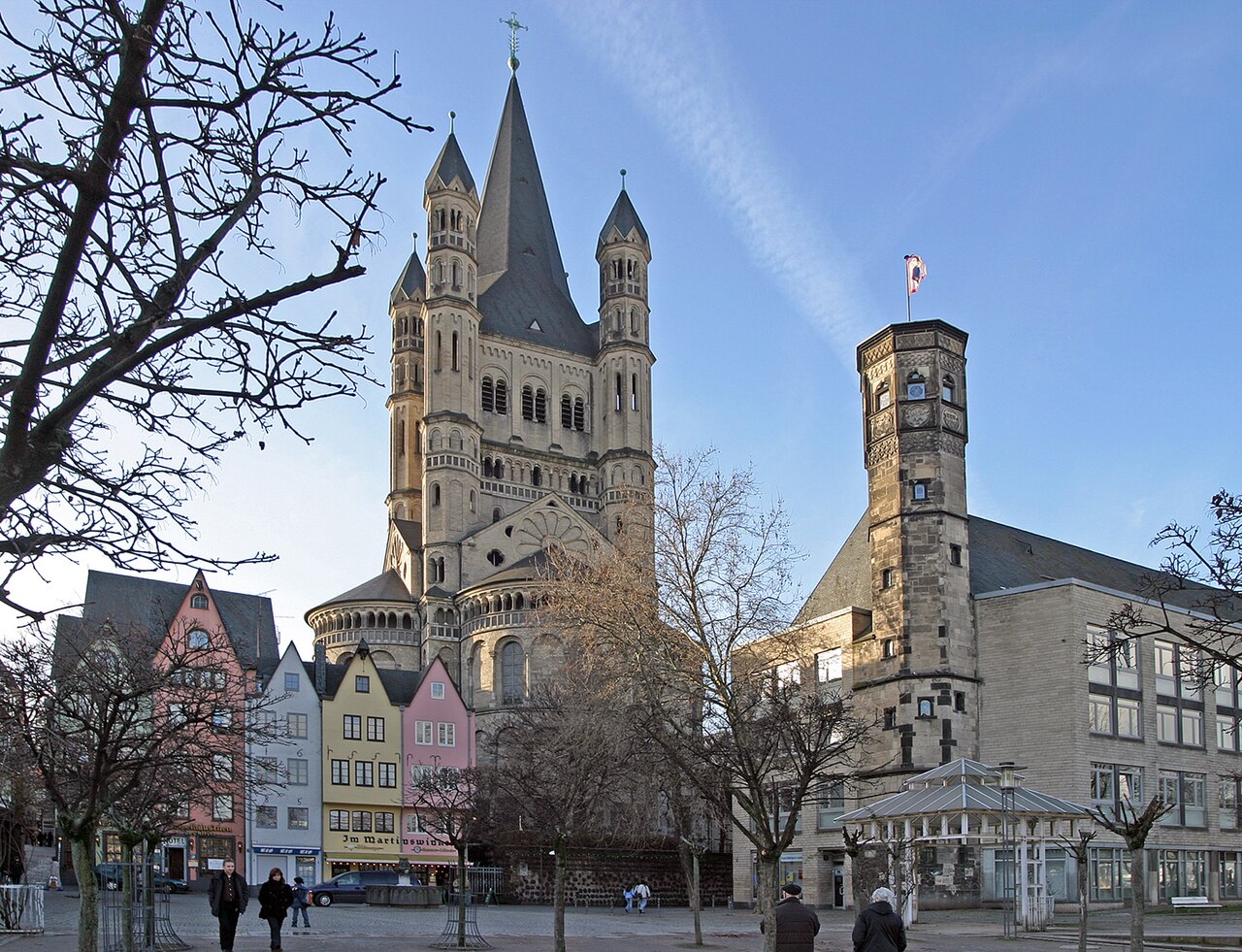
Altstadt-Süd makes up the southern part of Cologne's historic city centre and belongs to the Innenstadt district. Until 1881 the area was enclosed by the medieval city wall, of which the Hahnentor, the Ulrepforte, the Severinstorburg, the Bayenturm and a roughly 100-metre stretch with two watchtowers along the Sachsenring still survive. Since the dense layout left little room for industry, the only major factory here was the long-demolished Stollwerck chocolate and vending-machine works in the Severins quarter. The area is divided into many neighbourhoods (Veedel), several of which were cut apart in the 1960s by the still-controversial Nord-Süd-Fahrt thoroughfare.
Source: Wikipedia
Each bar shows the share relative to the highest value among 86 districts; the line marks the Cologne average.
Compare with borough & neighbouring districts
Tick areas — their values appear as coloured markers on the bars below.
Age structure
Source: Cologne neighbourhood monitoring
Population & social
Source: Cologne neighbourhood monitoring
Households
Source: Cologne neighbourhood monitoring
Land use
Source: Cologne neighbourhood monitoring
Political leaning
NRW state election 2022, party-list votes — bars relative to the strongest result, percentages beside.
Tick areas — their values appear as coloured markers on the bars.
Per 10,000 inhabitants
Counts in the area, relative to population — fairly comparable.
Tick areas — their values appear as coloured markers on the bars.
Family & everyday
Health & mobility
Sources: City of Cologne open data & geoportal (schools, daycare, playgrounds, transit, hospitals, libraries) and OpenStreetMap contributors (ODbL; pharmacies, supermarkets, markets, recycling, fountains, EV charging)
What's in this area
Counted within the boundary from open data — City of Cologne (geoportal/open data) and OpenStreetMap contributors (ODbL). Every number links to its source.
Neighbouring districts

Sources: Cologne neighbourhood monitoring, Statistical data catalogue, City of Cologne geoportal and OpenStreetMap contributors (ODbL) (as of 2024)
Comments
- Loading comments…
Sources & links
- geoportal.stadt-koeln.de (retrieved 2026-06-30)
- Wikipedia (retrieved 2026-06-30)
- openstreetmap.org
How this page is made
This page draws on open sources — Wikipedia, Wikidata, official websites and the city’s open data. Every statement is checked against the sources linked here, and pages are refreshed regularly.
Spotted a mistake anyway? Tell us below — we read every submission.