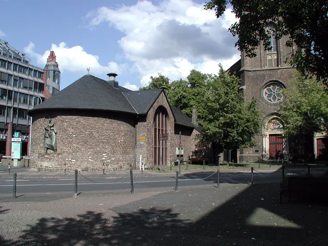
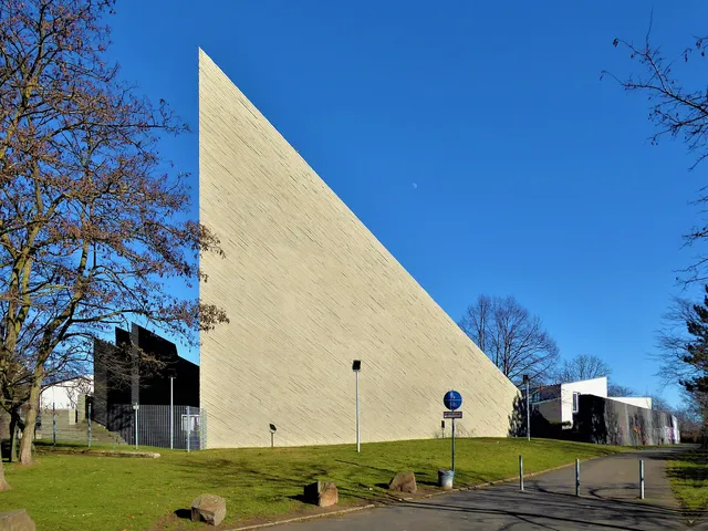
Höhenberg
Eastern Cologne district in the Kalk borough: from a bare field name on the border of Kurköln and Berg to a neighbourhood where more than half the area is green space.
Located in the right-bank city district of Kalk, Höhenberg is one of Cologne's easternmost neighbourhoods. For centuries the name referred solely to a low ridge on the Rhine's lower terrace, along which the Electorate of Cologne and the Duchy of Berg marked their mutual boundary.
Source: Wikipedia
At a Glance
- Type
- District of Cologne
- Borough
- Kalk (right bank of the Rhine)
- Location
- along a now-dry channel of the Rhine lower terrace, approximately 50 m above sea level
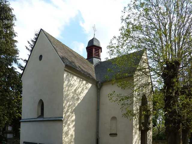
- Highest point
- roughly 55 metres, near St Elisabeth's Church
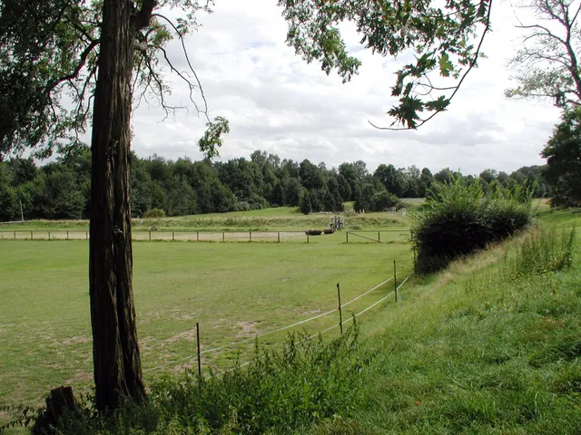
- Green space
- more than half of the total area
- Independent district since
- 1927
- Borders
- Buchheim (north), Merheim and Ostheim (east), Vingst (south), Kalk (west)
In 1768, the Duchy of Berg straightened a road through what is now Höhenberg so that it ran parallel to the border with Electoral Cologne – creating a toll-free route between the Rhine ports of Mülheim and Zündorf, cutting the Prince-Electors out of any revenue entirely.
From Field Name to City District
The area was uninhabited for a long time. A 1683 inventory of the Vingster Hof estate lists two fields "on the Höhenberg" purely as a geographical designation. A survey from 1831 records just a single building, and only a handful more by late 1843. Development came only as industry expanded in the neighbouring towns of Kalk and Mülheim am Rhein towards the end of the 19th century. With the construction of the Germaniasiedlung housing estate by the municipal non-profit housing company GAG, Höhenberg gained independent district status in 1927, consolidating areas that had previously belonged to Buchheim, Kalk, Merheim, and Vingst.
Border Between Berg and Kurköln
Between 1147 and 1803, the dividing line between the Duchy of Berg and the Electorate of Cologne ran through this area. At what is now the intersection of Frankfurter Strasse and Olpener Strasse, the Duchy maintained a vantage point overlooking Electoral Cologne's territory. Merchants used the old Frankfurt road to bypass Cologne's staple rights; since the route crossed Electoral Cologne soil, road tolls applied. In 1768 the Duchy of Berg straightened the road to run parallel to the territorial boundary, creating a toll-free route between the Bergish Rhine ports of Mülheim and Zündorf.
Landscape and Setting
West of an Ice Age Rhine channel, the district spreads across the once-marshy lower terrace, whose soil is strongly shaped by loess and clay and was formerly covered mainly by forest. The terrain is largely flat. To the east, the right-bank green belt separates the neighbourhood from Merheim and Ostheim; to the west, the tracks of the Cologne-Kalk Nord marshalling yard mark the boundary with Kalk.
After the Second World War
From 1945 onwards the stock of multi-family housing grew substantially, nearly doubling the population between 1950 and 1980. As industrial plants in the surrounding area closed, the unemployment rate remained above 22 percent for many years. Local congregations joined forces with numerous residents to found the social network HöVi-Land, which supports families and works to keep the neighbourhood clean and attractive.
Timeline
- 1147Border between Duchy of Berg and Electorate of Cologne runs through the area
- 1683First documented mention: fields 'auf dem Höhenberg' in the Vingster Hof
- 1768Duchy of Berg straightens road parallel to the border
- 1803Secularisation: right-bank territories transferred to Duchy of Nassau-Usingen
- 1831First building recorded: a single house in the Höhenberg area
- um 1870Germania blast furnace plant begins operations on Buchheim territory
- 1927Höhenberg becomes an independent district of Cologne
Map
Blue dots: other places nearby — tap to explore.
You might also like
Comments
- Loading comments…
Sources & links
Auto-generated, last verified: 2026-06-27