Langeler Bogen Flood Retention Basin
A polder on the right bank of the Rhine that is deliberately flooded during high water events to lower the river level in Cologne.
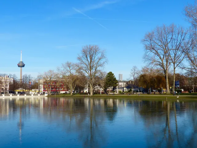
The Langeler Bogen Flood Retention Basin is a water retention area on the right bank of the Rhine, built to protect the city of Cologne from Rhine flooding. It lies between Niederkassel-Lülsdorf and Cologne-Porz-Langel.
Source: Wikipedia
At a Glance
- Type
- Flood retention basin (polder) / retention area
- Location
- Right bank of the Rhine, Langel district, Porz borough
- Area
- approximately 160 hectares of floodplain
- Capacity
- up to 5 million cubic metres
- Construction
- March 2007 to July 2009
- Normal use
- agricultural land outside of flood events
Although the retention basin can hold up to 5 million cubic metres of water, completely flooding it lowers the Cologne Rhine water level by only 5 centimetres – a massive engineering effort for what seems like a modest result, yet one that can be decisive in preventing floods.
How It Works
The polder is flooded via a 220-metre-long inlet structure on its southern side once the Cologne gauge reaches 11.30 metres. At peak inflow, up to 90 cubic metres of water per second enter the basin, with a full flood taking around one day to complete. This is enough to lower the flood level in Cologne by up to 5 centimetres. A separate structure on the northern end handles drainage.
Dikes and Terrain
Behind the existing 2.6-kilometre-long old dike — raised by 20 centimetres as part of the project — a second, two-kilometre-long dike was constructed to enclose the floodplain. Due to differences in ground elevation, the new dike stands 1.5 metres high in the south and 5.5 metres in the north.
Costs and Future Plans
The project was budgeted at €16.8 million. A larger polder near Worringen in northern Cologne is also planned, with a capacity of 30 million cubic metres; as of early 2021 it was still in the formal planning approval process.
Timeline
- 2007-03Construction of the polder begins (March 2007)
- 2009-07Polder completed (July 2009)
- 2021Additional polder near Worringen in planning approval stage (early 2021)
Map
You might also like

Comments
- Loading comments…
Sources & links
Auto-generated, last verified: 2026-06-26