Mutzbach
A left tributary of the Dhünn stretching just over fifteen kilometres — from Odenthal through Bergisch Gladbach to Leverkusen, its final stretch running underground.
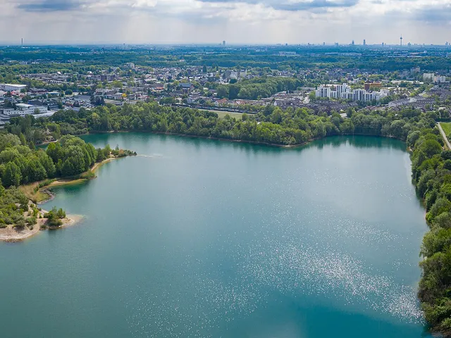
The Mutzbach is a stream just over fifteen kilometres long that flows into the Dhünn as a left tributary. Its course runs from Odenthal through Bergisch Gladbach to Leverkusen.
Source: Wikipedia
At a Glance
- Type
- Left tributary of the Dhünn
- Length
- Just over 15 kilometres
- Source
- Odenthal-Voiswinkel, approx. 175 m above sea level
- Mouth
- Manfort district of Leverkusen, approx. 45 m above sea level
- Route
- Through the Bergisch Gladbach districts of Paffrath and Hand
- Notable feature
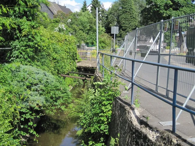
- Culverted for its final kilometres
The name "Mutzbach" has roots in Germanic mythology: it means "Modi's stream" and refers to Modi, the son of the thunder god Thor.
Course
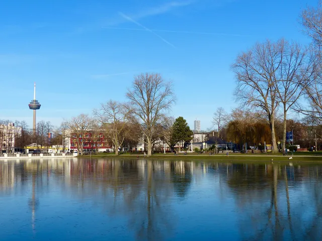
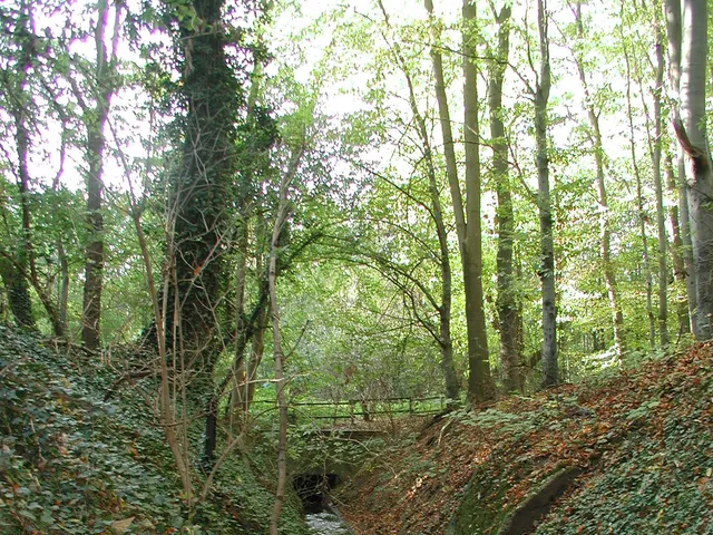
The Mutzbach rises in Odenthal-Voiswinkel and passes through the Bergisch Gladbach districts of Paffrath and Hand. It then flows through the Oberer Mutzbach nature reserve in Dünnwalder Wald on the Cologne side before emptying into the Dhünn in the Leverkusen district of Manfort — its last few kilometres running through underground pipes. From source to mouth, the stream descends roughly 130 metres in elevation.
Name
The name derives from "Modis Bach" — Modi being the son of Thor in Germanic mythology.
Water System
Several smaller streams feed into the Mutzbach, including the Weidenbach, the Katterbach, and the Huferweger Bach. The Katterbach, Hoppersheider Bach, and Hommelsgraben, however, do not form a continuous system with the Mutzbach: they seep into the ground at the transition from the middle to the lower terrace.
Surroundings
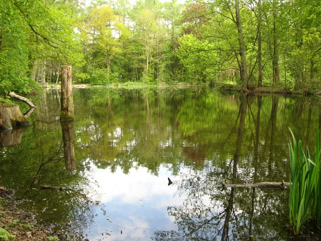
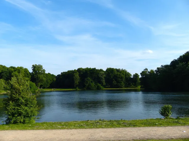
Several nature reserves line the Mutzbach, including the Mutzbach nature reserve and the Oberer Mutzbach nature reserve. Nearby landmarks include Haus Blegge, Paffrather Mühle, Diepeschrather Mühle, Gut Klosterhof, and the Motte Kurtekotten. In earlier times, the stream also fed the Dünnwalder Waldbad outdoor pool after passing through Dünnwalder Wald.
Map
You might also like
Comments
- Loading comments…
Sources & links
Auto-generated, last verified: 2026-06-26