Höhenfelder See
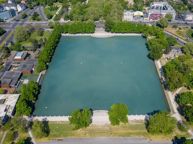
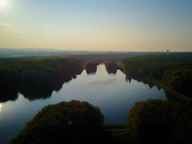
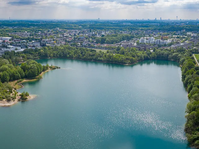
A former gravel-pit lake in eastern Cologne: 20 hectares of water, up to 15 metres deep – right in the middle of the Dellbrücker Wald landscape conservation area.
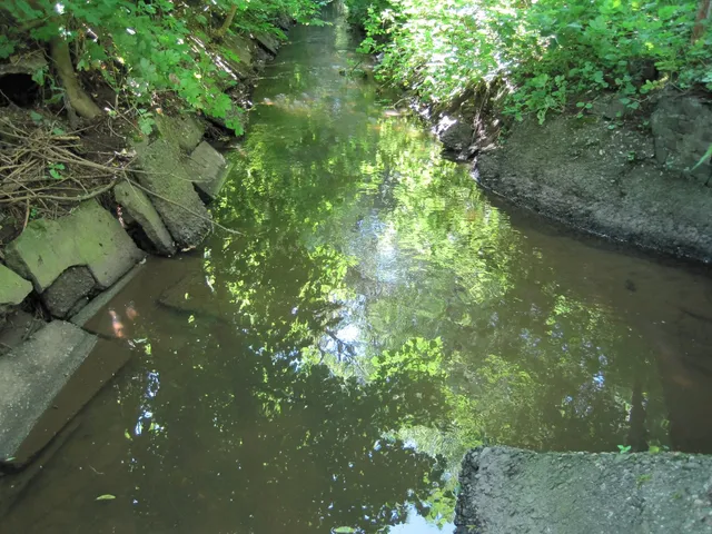
The Höhenfelder See originated from the excavation of a former gravel pit and today lies within a woodland area of right-bank Cologne, nestled in the district of Dellbrück.
At a Glance
- Type
- Gravel-pit lake (former aggregate extraction site)
- Location
- Cologne cadastral area of Wichheim-Schweinheim, district of Dellbrück, near the boundaries with Dünnwald and Höhenhaus
- Size
- approx. 20 hectares
- Depth
- from shallow zones down to approx. 15 m
- Protected status
- Dellbrücker Wald landscape conservation area; the Dellbrücker Heide nature reserve adjoins to the south
- Name origin
- named after the Höhenfeld neighbourhood in the district of Höhenhaus
Possible activities
Source: Wikipedia · retrieved 2026-06-24
Use and Regulations
The area surrounding the lake attracts large numbers of visitors for recreational purposes. Swimming in the lake itself is prohibited following its recultivation, as sharp temperature differences between the shallow zones and the sections reaching depths of up to 15 metres make swimming life-threatening. In 2007, the City of Cologne considered opening the lake as an unsupervised bathing site; on 18 February 2008, the Mülheim district council rejected this proposal on grounds of landscape conservation.
Fishing
Fishing rights on the lake are held by the Angelsportverein der Berufsfeuerwehr Köln (Angling Club of Cologne's Professional Fire Brigade) as the licensed lessee. Species found in the water include pike, perch, trout, catfish, eel, carp, and various other coarse fish.
Gallery
Map
Blue dots: other places nearby — tap to explore.
Address
Höhenfelder See
51069 Köln
You might also like
Comments
- Loading comments…
Sources & links
Auto-generated, last verified: 2026-06-25